La tabella sopra da le previsioni meteo per Zauchensee a specifiche altezze 1560 m. I nostri sofisticati modelli meteo ci consentono di fornire previsioni neve per la vetta, l'area intermedia e a valle delle stazioni sciistiche di Zauchensee. Per accedere alle previsioni meteo ad altre altezze, per spostarti usa tab sopra la tabella. Per una visione meteo piu' ampia , controlla la mappa meteo di Austria.
Clicca qui per leggere ulteriori informazioni sullo zero termico e il nostro sistema di prevedere le temperature.
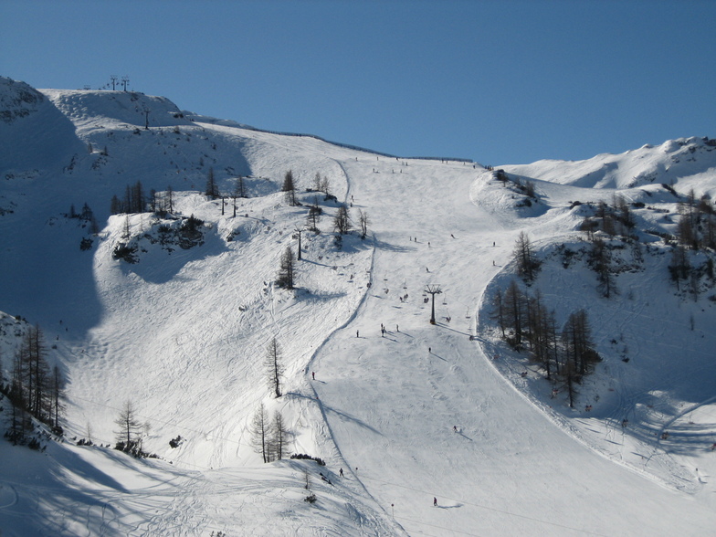
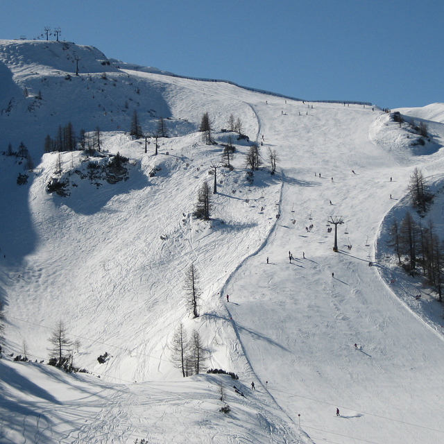
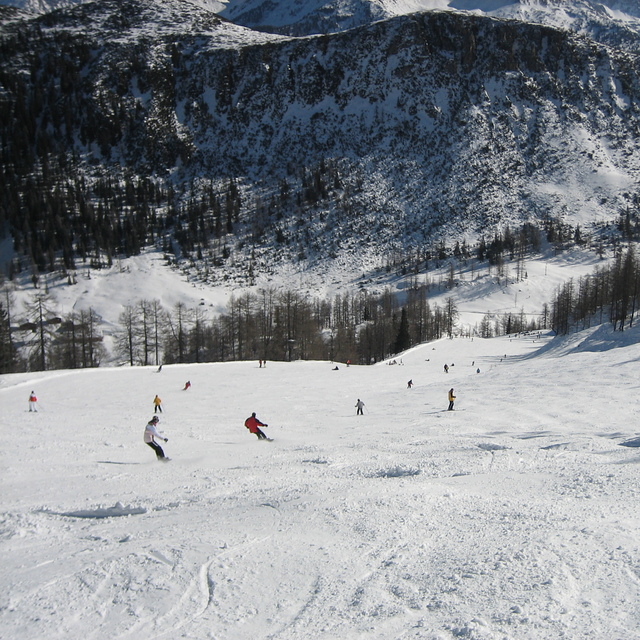
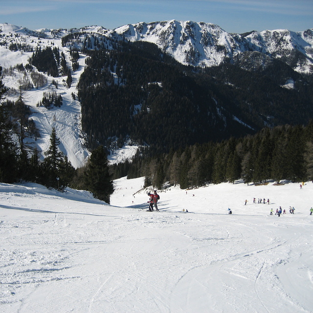
Recensioni dei visitatori di Zauchensee
Complessivamente 4.0 Basato su 17 voti e 10 recensioni
My Wife and I went there to celebrate 2021 on New Year's Day with no particular expectations.
We left the resort speechless. We have skied across the Alps and this place Is hands down our favourite.
The Tauernkar black is a magnificent run, perfect pitch, wide open pistes and you can blast it as fast as you like. Opposite the World Cup downhill run which is a varied brute and superb as well.
Prior to today, my favourite skiing was Grand Montets, Chamonix. Whilst Tauernkar is shorter than Grand Montets, it is of the same calibre, and you leave feeling you have had the best run...
Complessivamente: 4.0 Basato su 17 voti e 10 recensioni
Snowsure
4.8
Varietà di piste
4.1
Fuoripista
3.5
Paesaggio
4.6
Apres-Ski
3.7
Ed Holloway da Austria scrive:
My Wife and I went there to celebrate 2021 on New Year's Day with no particular expectations.
We left the resort speechless. We have skied across the Alps and this place Is hands down our favourite.
The Tauernkar black is a magnificent run, perfect pitch, wide open pistes and you can blast it as fast as you like. Opposite the World Cup downhill run which is a varied brute and superb as well.
Prior to today, my favourite skiing was Grand Montets, Chamonix. Whilst Tauernkar is shorter than Grand Montets, it is of the same calibre, and you leave feeling you have had the best run...
Gratis Snow-Forecast.com weather widget per il tho sito
Il Zauchensee widget meteo qui sotto è disponibile per essere incorporato su siti Web esterni a titolo gratuito. Esso fornisce un riepilogo giornaliero delle nostre Zauchensee previsioni meteo neve e dati meteo. Basta andare alla pagina di configurazione e seguire 3 semplici passi per prendere il codice html personalizzato ed incollarlo nel tuo sito. È possibile scegliere l'elevazione di previsione di neve (vetta, metà o piede della montagna) e l'unità metrica/imperiale per le previsioni meteo neve adeguata al proprio sito Web Clicca qui per ottenere il codice


 Nearest