

Portillo Re-Opens To Guests Arriving By Helicopter
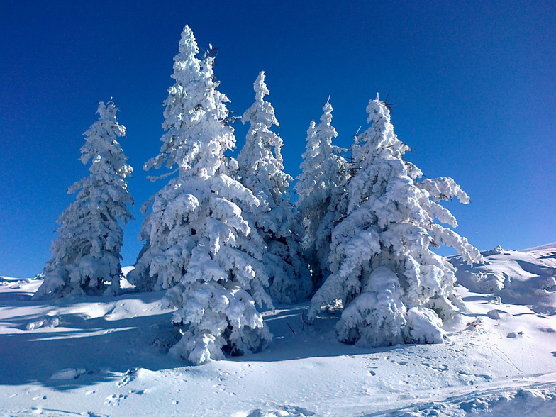
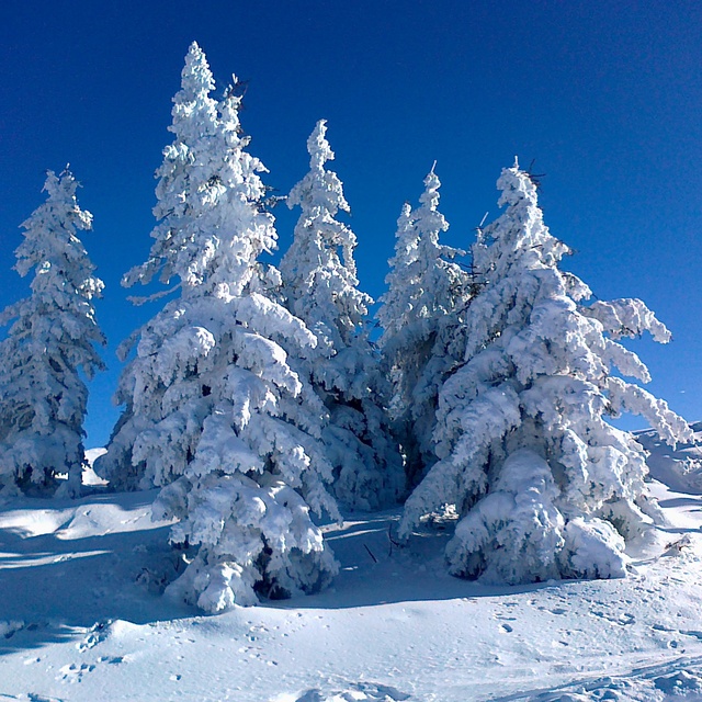
Chile’s famous Portillo ski resort is reported to have re-opened to guests arriving by helicopter after being cut off by road for more than two weeks by over 6m/20 feet of snowfall.

Next 3 days weather summary:Pioggia abbondante (totale 37.0mm), più pesante durante Lunedì notte. Caldo (max 25°C Lunedì pomeriggio, min 16°C Lunedì notte). Vento sarà generalmente leggero. | Giorni 4-6 Flachau-Reitdorf sommario meteoPioggia abbondante (totale 25.0mm), più pesante durante Giovedì pomeriggio. Caldo (max 22°C Giovedì pomeriggio, min 13°C Giovedì notte). Vento sarà generalmente leggero. | ||||||||||||||||
Lun 3 | Martedì 4 | Mercoledì 5 | Giovedì 6 | Venerdì 7 | Sabato 8 | ||||||||||||
PM | notte | AM | PM | notte | AM | PM | notte | AM | PM | notte | AM | PM | notte | AM | PM | notte | |
rischio temporale | rovesci pioggia | limpido | rischio temporale | rovesci pioggia | rischio temporale | rischio temporale | rovesci pioggia | rischio temporale | rischio temporale | pioggia moderata | pioggia leggera | pioggia leggera | rovesci pioggia | poche nuvole | rischio temporale | rovesci pioggia | |
km/h | |||||||||||||||||
Mappa neve |  |  |  |  |  |  | |||||||||||
— | — | — | — | — | — | — | — | — | — | — | — | — | — | — | — | — | |
mm | 2 | 8 | — | 1 | 2 | 3 | 11 | 8 | 2 | 8 | 7 | 2 | 4 | 1 | — | 2 | 1 |
max °C | 25 | 18 | 24 | 25 | 23 | 20 | 23 | 18 | 21 | 22 | 17 | 14 | 15 | 14 | 18 | 19 | 17 |
min °C | 20 | 16 | 20 | 23 | 18 | 17 | 20 | 16 | 17 | 20 | 13 | 14 | 14 | 13 | 14 | 19 | 14 |
chill °C | 20 | 16 | 20 | 23 | 18 | 17 | 20 | 16 | 17 | 20 | 13 | 14 | 14 | 13 | 14 | 19 | 14 |
Umido. % | 65 | 63 | 43 | 54 | 62 | 73 | 77 | 68 | 65 | 74 | 100 | 97 | 90 | 95 | 65 | 67 | 87 |
Zero termico m | 4500 | 4550 | 4500 | 4600 | 4600 | 4450 | 4500 | 4450 | 4400 | 4400 | 4150 | 3950 | 4100 | 4100 | 3900 | 4050 | 4100 |
— | — | 5:47 | — | — | 5:48 | — | — | 5:50 | — | — | 5:50 | — | — | 5:52 | — | — | |
— | 8:37 | — | — | 8:36 | — | — | 8:35 | — | — | 8:32 | — | — | 8:31 | — | — | 8:30 | |
Diventa pro e intaglia:
Informazioni valanghe: European Avalanche Warning Services (EAWS)
Gli ultimi report della neve vicino a Flachau-Reitdorf:
| La profondità maggiore della neve é: | 0 cm |
|---|---|
| La profondità minore della neve é: | 0 cm |
| Fresh snowfall depth: | — |
| Quando ha nevicato l'ultima volta? | 10 Jun 2026 |
0.0 | Giorni neve fresca Neve fresca, prevalentemente soleggiato, vento debole. |
|---|---|
0.0 | Giorni neve fresca Fresh snow, limited sun, any wind. |
0.0 | Giorni Bluebird Neve media, prevalentemente soleggiato, vento debole. |
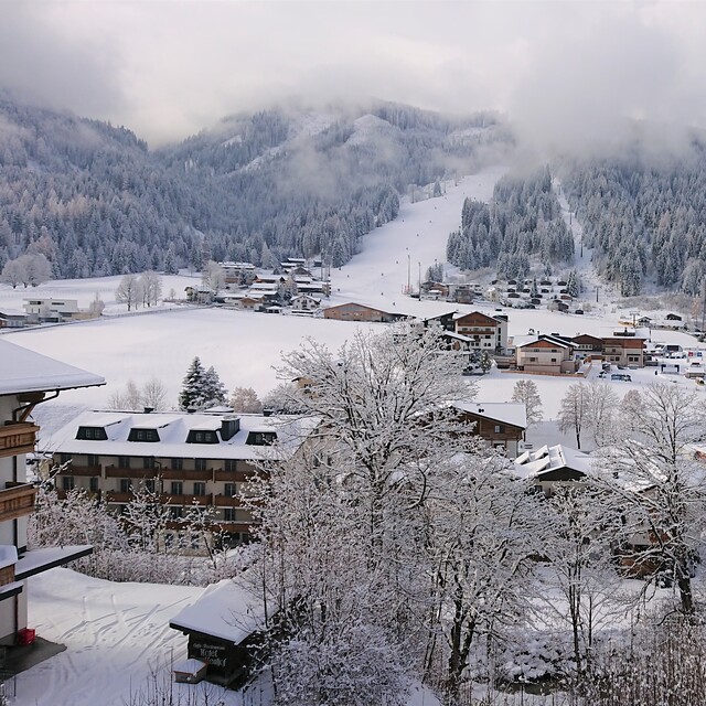
La tabella sopra da le previsioni meteo per Flachau-Reitdorf a specifiche altezze 1372 m. I nostri sofisticati modelli meteo ci consentono di fornire previsioni neve per la vetta, l'area intermedia e a valle delle stazioni sciistiche di Flachau-Reitdorf. Per accedere alle previsioni meteo ad altre altezze, per spostarti usa tab sopra la tabella. Per una visione meteo piu' ampia , controlla la mappa meteo di Austria.
Clicca qui per leggere ulteriori informazioni sullo zero termico e il nostro sistema di prevedere le temperature.
Complessivamente 4.5 Basato su 16 voti e 9 recensioni
Update to my previous review. The Snowspace Flachau completed the link to Kleinarl last summer. This new Panoramabahn increases the pistes to over 210km spread across the villages of Alpendorf, Wagrain, Flacahu, Kleinarl and Zauchensee. New uplifts in Wagrain have increased capacity in the middle of Snowspace so it is quick and easy to get on the mountains.
Simon da Austria scrive:
Update to my previous review. The Snowspace Flachau completed the link to Kleinarl last summer. This new Panoramabahn increases the pistes to over 210km spread across the villages of Alpendorf, Wagrain, Flacahu, Kleinarl and Zauchensee. New uplifts in Wagrain have increased capacity in the middle of Snowspace so it is quick and easy to get on the mountains.


 Nearest