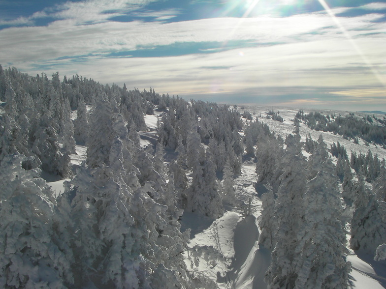


America’s Next Indoor Snow Centre Takes Shape
Construction of a new indoor snow centre for skiers, boarders and tubers appears to be making good progress at Heritage Farm in Wayne County, West Virginia.

Next 3 days weather summary:Pioggia leggera (totale 5.0mm), per lo più che cade Martedì pomeriggio. Temperature moderate (max 13°C Martedì mattina, min 7°C Giovedì notte). Venti in aumento (calma Martedì mattina, venti freschi da NW per Giovedì pomeriggio). | Giorni 4-6 Stuhleck sommario meteoPioggia moderata (totale 19.0mm), più pesante Domenica pomeriggio. Temperature moderate (max 18°C Sabato pomeriggio, min 8°C Venerdì mattina). Venti decrescenti (venti freschi da NNW Venerdì mattina, calma per Domenica mattina). | |||||||||||||||||
Martedì 21 | Mercoledì 22 | Giovedì 23 | Venerdì 24 | Sabato 25 | Domenica 26 | |||||||||||||
AM | PM | notte | AM | PM | notte | AM | PM | notte | AM | PM | notte | AM | PM | notte | AM | PM | notte | |
poche nuvole | pioggia leggera | rovesci pioggia | poche nuvole | poche nuvole | poche nuvole | rovesci pioggia | limpido | limpido | rovesci pioggia | rovesci pioggia | limpido | limpido | poche nuvole | poche nuvole | poche nuvole | pioggia moderata | pioggia moderata | |
km/h | ||||||||||||||||||
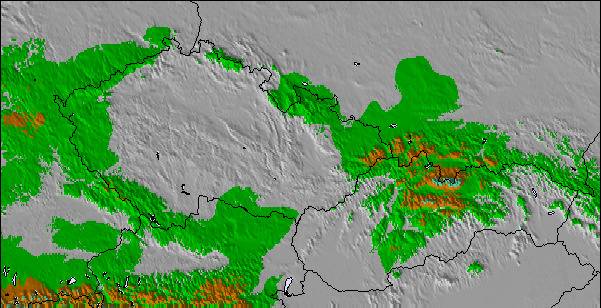
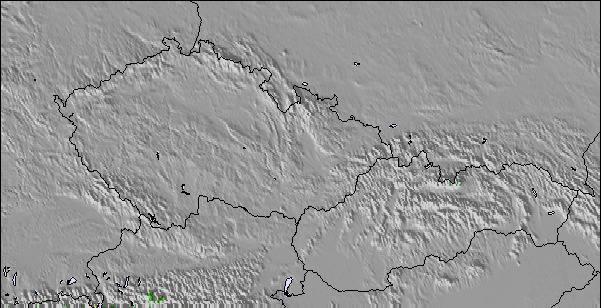
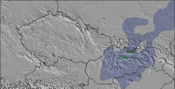
Mappa neve |  |  |  |  |  |  | ||||||||||||
— | — | — | — | — | — | — | — | — | — | — | — | — | — | — | — | — | — | |
mm | — | 2 | 1 | — | — | — | 2 | — | — | 1 | 1 | — | — | — | — | — | 10 | 7 |
max °C | 13 | 12 | 12 | 11 | 13 | 13 | 11 | 12 | 10 | 10 | 12 | 12 | 14 | 18 | 18 | 18 | 17 | 14 |
min °C | 12 | 12 | 8 | 9 | 12 | 12 | 11 | 12 | 7 | 8 | 10 | 11 | 12 | 17 | 17 | 17 | 14 | 11 |
chill °C | 12 | 12 | 5 | 6 | 10 | 10 | 8 | 9 | 3 | 4 | 7 | 10 | 12 | 17 | 17 | 17 | 14 | 9 |
Umido. % | 72 | 76 | 81 | 53 | 51 | 61 | 71 | 54 | 85 | 68 | 57 | 59 | 49 | 45 | 49 | 58 | 82 | 85 |
Zero termico m | 3150 | 3050 | 2750 | 2550 | 2800 | 2950 | 2900 | 2850 | 2550 | 2550 | 3000 | 3300 | 3650 | 3650 | 4150 | 3750 | 3700 | 3500 |
5:20 | — | — | 5:20 | — | — | 5:22 | — | — | 5:22 | — | — | 5:24 | — | — | 5:26 | — | — | |
— | — | 8:45 | — | — | 8:44 | — | — | 8:43 | — | — | 8:42 | — | — | 8:40 | — | — | 8:38 | |
Diventa pro e intaglia:
Informazioni valanghe: European Avalanche Warning Services (EAWS)
Gli ultimi report della neve vicino a Stuhleck:
| La profondità maggiore della neve é: | 0 cm |
|---|---|
| La profondità minore della neve é: | 0 cm |
| Fresh snowfall depth: | — |
| Quando ha nevicato l'ultima volta? | 12 May 2026 |
0.0 | Giorni neve fresca Neve fresca, prevalentemente soleggiato, vento debole. |
|---|---|
0.0 | Giorni neve fresca Fresh snow, limited sun, any wind. |
0.0 | Giorni Bluebird Neve media, prevalentemente soleggiato, vento debole. |
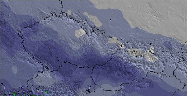
La tabella sopra da le previsioni meteo per Stuhleck a specifiche altezze 1286 m. I nostri sofisticati modelli meteo ci consentono di fornire previsioni neve per la vetta, l'area intermedia e a valle delle stazioni sciistiche di Stuhleck. Per accedere alle previsioni meteo ad altre altezze, per spostarti usa tab sopra la tabella. Per una visione meteo piu' ampia , controlla la mappa meteo di Austria.
Clicca qui per leggere ulteriori informazioni sullo zero termico e il nostro sistema di prevedere le temperature.
Complessivamente 3.1 Basato su 19 voti e 3 recensioni
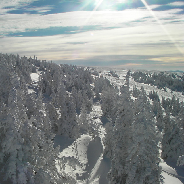
We visited Stuhleck for a short 4 day ski trip. The resort is fabulously close to Vienna, only 70 minutes away. We visited with family and stayed in the superbly located hotelBetriebe by the hotel Group Herlinde. The staff at the hotel were very helpful and accommodating. They provided simple but wholesome Austrian half board meals which were welcome after a great day skiing. The resort got busy at the weekend but was pretty empty during the week. For a short trip (skiing with 25km of pistes) it cannot be beaten! We were lucky with snow conditions but I’m told good snow cover is fairly certain. Just check before you book because the resort is only set at 800m and extends up to 1780m. Enjoy.
Guy da Austria scrive:
We visited Stuhleck for a short 4 day ski trip. The resort is fabulously close to Vienna, only 70 minutes away. We visited with family and stayed in the superbly located hotelBetriebe by the hotel Group Herlinde. The staff at the hotel were very helpful and accommodating. They provided simple but wholesome Austrian half board meals which were welcome after a great day skiing.
The resort got busy at the weekend but was pretty empty during the week. For a short trip (skiing with 25km of pistes) it cannot be beaten! We were lucky with snow conditions but I’m told good snow cover is fairly certain. Just check before you book because the resort is only set at 800m and extends up to 1780m. Enjoy.

 Nearest