Ultimi 6 giorniScorri a sinistra per gli ultimi 6 giorniOra
Next 3 days weather summary:
Pioggia moderata (totale 16.0mm), più pesante Sabato notte. Condizioni di gelo e disgelo (max 9°C Sabato pomeriggio, min -1°C Giovedì notte). Vento sarà generalmente leggero.
Giorni 4-6 Sölden sommario meteo
Una spolverata di neve diventa pioggia leggera (totale 3.0mm) Lunedì pomeriggio. Condizioni di gelo e disgelo (max 9°C Martedì notte, min 0°C Lunedì mattina). Vento sarà generalmente leggero.
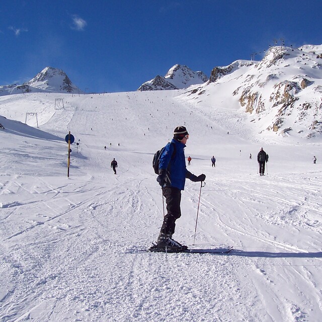
La tabella sopra da le previsioni meteo per Sölden a specifiche altezze 3250 m. I nostri sofisticati modelli meteo ci consentono di fornire previsioni neve per la vetta, l'area intermedia e a valle delle stazioni sciistiche di Sölden. Per accedere alle previsioni meteo ad altre altezze, per spostarti usa tab sopra la tabella. Per una visione meteo piu' ampia , controlla la mappa meteo di Austria.
Clicca qui per leggere ulteriori informazioni sullo zero termico e il nostro sistema di prevedere le temperature.
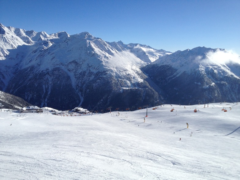
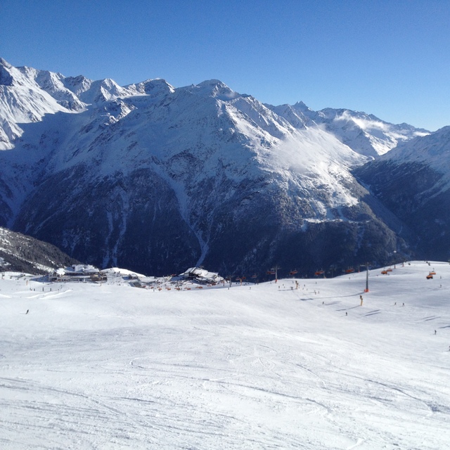
Il nome della localita' è scritto anche come Solden.
Recensioni dei visitatori di Sölden
Complessivamente 3.9 Basato su 42 voti e 23 recensioni
We went for half term so a bit busy but what resort isn’t. Firstly, this is not a resort for beginners. I would say it’s for good intermediates and up. Beginners and families would be better down the road at Obergurgl.
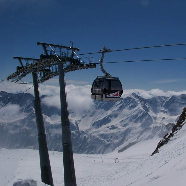
The glacier was good but a big faff to get to. I think it took me over an hour to get there in the morning.
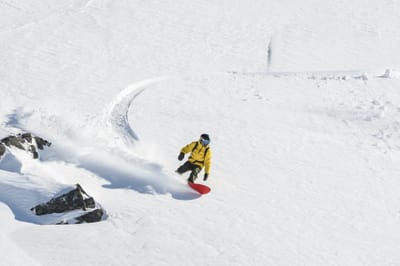
The resort is high so the snow held up well considering this year, 2024, has not been great in places.
The town is as you would expect, chocolate box it is not. Lots of bars and restaurants though to choose from. None are cheap so factor that in. On the mountain too the restaurants were very expensive. £8 ish for a soup, main meals £15 - £20. We took a packed lunch in the end, which worked well and shared two meals between three (2 x adults 1 x child) in the evenings, which was fine as portions are big. Pizza £15. Burger and chips £20. On the plus side beers were good ish value at £5 a go.
It’s worth going to Obergurgl too as included in the ski pass. Plenty of buses included and only 20 mins up the road. If I went again I would go there on half board and visit Solden on a sunny day to head up to the glacier.
Restaurants worth visiting were “A Cassa Da Mamma”, best Italian by far. You have to go up the funicular and walk 5 mins or so but well worth it. You will have to book too or get there early. Another place was the “liebelei food bar music” above a shop. Great Mexican food. We liked a beer in the Gizzly too.
As a side note, steer clear of the escalator at the Giggijochbaan at busy times. Very dangerous, we were stuck two times in two days with people falling over and no way to stop the lift resulting in utter panic and chaos. Take the lift instead.
Complessivamente: 3.9 Basato su 42 voti e 23 recensioni
Snowsure
4.5
Varietà di piste
4.3
Fuoripista
3.6
Paesaggio
3.8
Apres-Ski
4.6
Toby da United Kingdom scrive:
We went for half term so a bit busy but what resort isn’t. Firstly, this is not a resort for beginners. I would say it’s for good intermediates and up. Beginners and families would be better down the road at Obergurgl.
The glacier was good but a big faff to get to. I think it took me over an hour to get there in the morning.
The resort is high so the snow held up well considering this year, 2024, has not been great in places.
The town is as you would expect, chocolate box it is not. Lots of bars and restaurants though to choose from. None are cheap so factor that in. On the mountain too the restaurants were very expensive. £8 ish for a soup, main meals £15 - £20. We took a packed lunch in the end, which worked well and shared two meals between three (2 x adults 1 x child) in the evenings, which was fine as portions are big. Pizza £15. Burger and chips £20. On the plus side beers were good ish value at £5 a go.
It’s worth going to Obergurgl too as included in the ski pass. Plenty of buses included and only 20 mins up the road. If I went again I would go there on half board and visit Solden on a sunny day to head up to the glacier.
Restaurants worth visiting were “A Cassa Da Mamma”, best Italian by far. You have to go up the funicular and walk 5 mins or so but well worth it. You will have to book too or get there early. Another place was the “liebelei food bar music” above a shop. Great Mexican food. We liked a beer in the Gizzly too.
As a side note, steer clear of the escalator at the Giggijochbaan at busy times. Very dangerous, we were stuck two times in two days with people falling over and no way to stop the lift resulting in utter panic and chaos. Take the lift instead.
Gratis Snow-Forecast.com weather widget per il tho sito
Il Sölden widget meteo qui sotto è disponibile per essere incorporato su siti Web esterni a titolo gratuito. Esso fornisce un riepilogo giornaliero delle nostre Sölden previsioni meteo neve e dati meteo. Basta andare alla pagina di configurazione e seguire 3 semplici passi per prendere il codice html personalizzato ed incollarlo nel tuo sito. È possibile scegliere l'elevazione di previsione di neve (vetta, metà o piede della montagna) e l'unità metrica/imperiale per le previsioni meteo neve adeguata al proprio sito Web Clicca qui per ottenere il codice


 Nearest