

Portillo Storm Snowfall Total Passes 5m / 17 Feet
A snow storm that has now continued for nine days has taken Chilean ski resort Portillo to a snowfall total of 5.2 metres (17 feet) so far, with more snow forecast.

Next 3 days weather summary:Per lo più asciutto. Caldo (max 22°C Venerdì pomeriggio, min 14°C Giovedì mattina). Vento sarà generalmente leggero. | Giorni 4-6 Schweitzer Mountain sommario meteoPer lo più asciutto. Caldo (max 20°C Sabato pomeriggio, min 5°C Domenica mattina). Venti decrescenti (bufere nelle prossimità da SW Sabato pomeriggio, calma per Domenica notte). | ||||||||||||||||
Mer 29 | Giovedì 30 | Venerdì 31 | Sabato 1 | Domenica 2 | Lunedì 3 | ||||||||||||
PM | notte | AM | PM | notte | AM | PM | notte | AM | PM | notte | AM | PM | notte | AM | PM | notte | |
limpido | poche nuvole | limpido | limpido | limpido | limpido | limpido | limpido | limpido | limpido | limpido | limpido | limpido | limpido | poche nuvole | poche nuvole | limpido | |
km/h | |||||||||||||||||
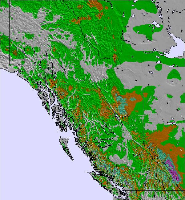
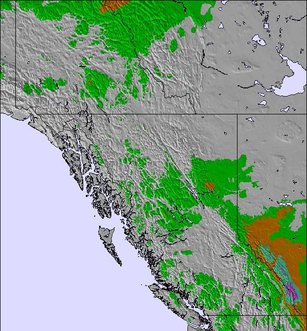
Mappa neve | 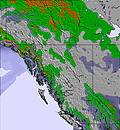 | 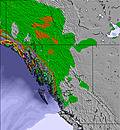 | 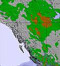 | 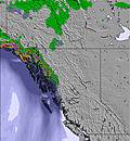 | 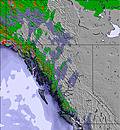 | 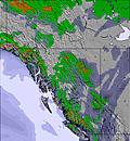 | |||||||||||
— | — | — | — | — | — | — | — | — | — | — | — | — | — | — | — | — | |
mm | — | — | — | — | — | — | — | — | — | — | — | — | — | — | — | — | — |
max °C | 17 | 17 | 15 | 19 | 19 | 17 | 22 | 22 | 19 | 20 | 16 | 8 | 13 | 12 | 9 | 14 | 13 |
min °C | 16 | 15 | 14 | 18 | 16 | 15 | 20 | 20 | 19 | 19 | 7 | 5 | 10 | 9 | 8 | 12 | 11 |
chill °C | 15 | 14 | 13 | 18 | 15 | 14 | 20 | 20 | 19 | 18 | 3 | 1 | 7 | 9 | 7 | 12 | 10 |
Umido. % | 17 | 17 | 33 | 26 | 22 | 27 | 19 | 20 | 26 | 29 | 39 | 41 | 34 | 37 | 47 | 39 | 43 |
Zero termico m | 4200 | 4300 | 4250 | 4300 | 4550 | 4600 | 4800 | 5050 | 4800 | 4450 | 3750 | 3200 | 3350 | 3250 | 3100 | 3450 | 3450 |
— | — | 5:18 | — | — | 5:18 | — | — | 5:20 | — | — | 5:22 | — | — | 5:22 | — | — | |
— | 8:27 | — | — | 8:25 | — | — | 8:24 | — | — | 8:22 | — | — | 8:22 | — | — | 8:20 | |
Diventa pro e intaglia:
Informazioni valanghe: National Avalanche Center
Gli ultimi report della neve vicino a Schweitzer Mountain:
| La profondità maggiore della neve é: | 0 cm |
|---|---|
| La profondità minore della neve é: | 0 cm |
| Fresh snowfall depth: | — |
| Quando ha nevicato l'ultima volta? | 10 Jun 2026 |
0.0 | Giorni neve fresca Neve fresca, prevalentemente soleggiato, vento debole. |
|---|---|
0.0 | Giorni neve fresca Fresh snow, limited sun, any wind. |
0.0 | Giorni Bluebird Neve media, prevalentemente soleggiato, vento debole. |
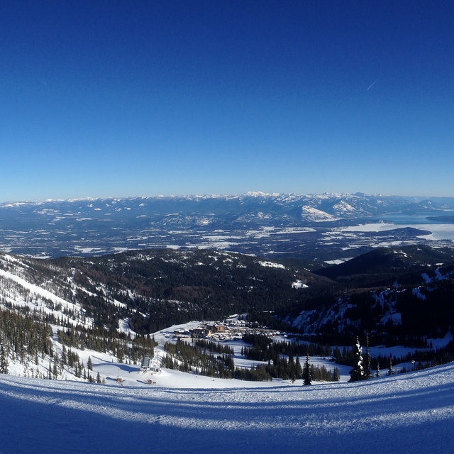
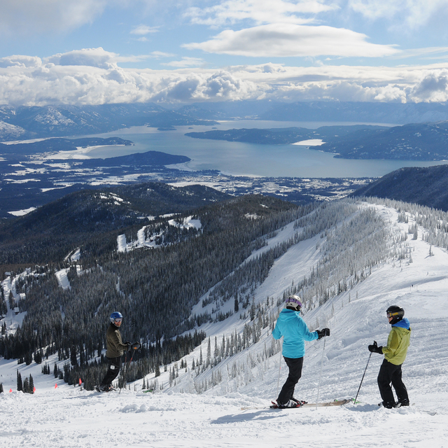
La tabella sopra da le previsioni meteo per Schweitzer Mountain a specifiche altezze 1950 m. I nostri sofisticati modelli meteo ci consentono di fornire previsioni neve per la vetta, l'area intermedia e a valle delle stazioni sciistiche di Schweitzer Mountain. Per accedere alle previsioni meteo ad altre altezze, per spostarti usa tab sopra la tabella. Per una visione meteo piu' ampia , controlla la mappa meteo di United States.
Clicca qui per leggere ulteriori informazioni sullo zero termico e il nostro sistema di prevedere le temperature.
Complessivamente 3.4 Basato su 24 voti e 10 recensioni
Not a good resort for the disabled. Parking is far away from the lifts. If you're disabled go elsewhere.
Pusbag da United States scrive:
Not a good resort for the disabled. Parking is far away from the lifts. If you're disabled go elsewhere.
Leggi 9 più recensioni di Schweitzer Mountain o invia la tua

 Nearest