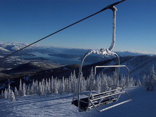
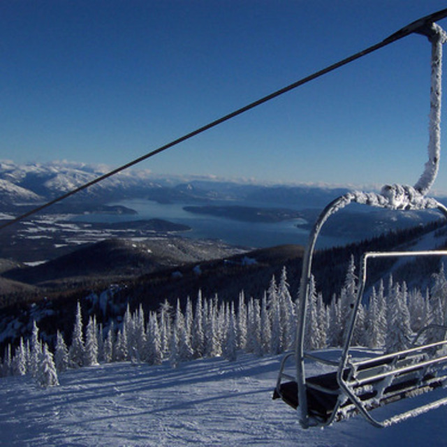
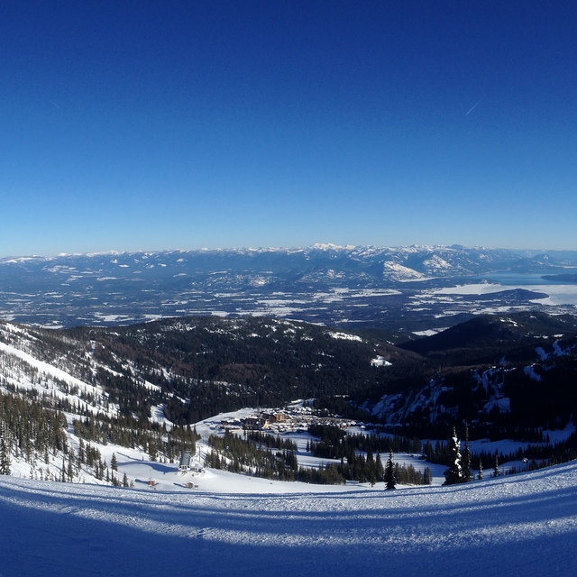
Previsione meteo per Schweitzer Mountain a1219m altitudine
Emesso: 4 pm 02 Aug 2026 (ora locale)
Previsione neve aggiornata in ora min
View forecast
Schweitzer Mountainat 1219 m altitudine
Publicato da Snow-Forecast.com a:4 pm (ora locale) / 02 Aug 2026
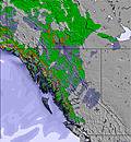
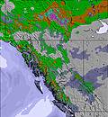
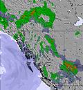
Ultimi 6 giorniScorri a sinistra per gli ultimi 6 giorniOra
Next 3 days weather summary:
Per lo più asciutto. Caldo (max 24°C Martedì pomeriggio, min 7°C Domenica notte). Vento sarà generalmente leggero.
Giorni 4-6 Schweitzer Mountain sommario meteo
Per lo più asciutto. Caldo (max 31°C Giovedì pomeriggio, min 13°C Venerdì notte). Venti in aumento (venti deboli da SW Mercoledì notte, venti freschi da OSO per Venerdì pomeriggio).
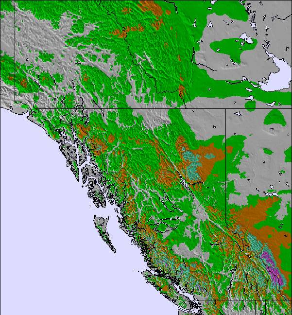
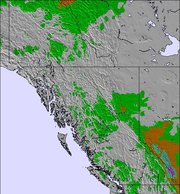
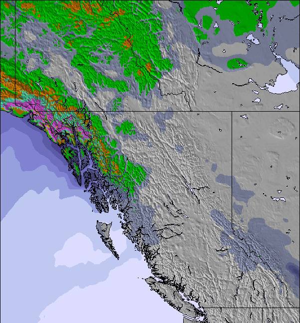
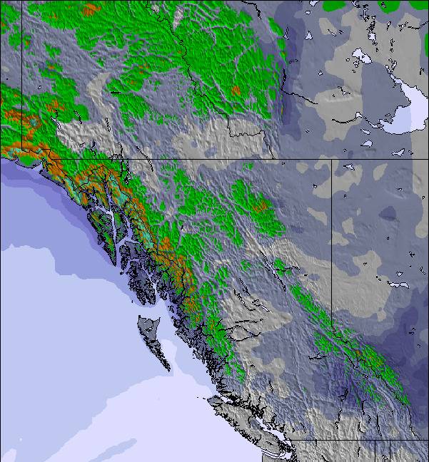
La tabella sopra da le previsioni meteo per Schweitzer Mountain a specifiche altezze 1219 m. I nostri sofisticati modelli meteo ci consentono di fornire previsioni neve per la vetta, l'area intermedia e a valle delle stazioni sciistiche di Schweitzer Mountain. Per accedere alle previsioni meteo ad altre altezze, per spostarti usa tab sopra la tabella. Per una visione meteo piu' ampia , controlla la mappa meteo di United States.
Clicca qui per leggere ulteriori informazioni sullo zero termico e il nostro sistema di prevedere le temperature.
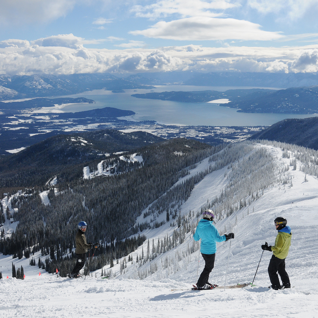
Recensioni dei visitatori di Schweitzer Mountain
Complessivamente 3.4 Basato su 24 voti e 10 recensioni
I grew up skiing this resort, but have lived in Seattle for years. Always missed my hometown so returned a couple years ago. I bought a pass up a Schweitzer last year and the season was plagued by warmer weather and moderate snow. Still, had a decent season and skied at least 2 days every week. The problem was how they handled the pandemic. They closed the mountain a month early in March with no notice. I take this virus very seriously, but they could have simply closed the lodge facilities and still required masks. Sadly, March was one of the best snow months! I called the resort this August expecting them to honour discounts for returning pass holders. Instead, I found they actually raised the price by 50 bucks! My friends told me they had become notoriously bad in customer service. Now I see what they mean. Great for a visit or 2 per season, but don't buy a pass here, they don't value return business. Plenty of great resorts to choose from in the area
Complessivamente: 3.4 Basato su 24 voti e 10 recensioni
Snowsure
3.6
Varietà di piste
4.0
Fuoripista
3.5
Paesaggio
3.6
Apres-Ski
3.2
Steek da United States scrive:
I grew up skiing this resort, but have lived in Seattle for years. Always missed my hometown so returned a couple years ago. I bought a pass up a Schweitzer last year and the season was plagued by warmer weather and moderate snow. Still, had a decent season and skied at least 2 days every week. The problem was how they handled the pandemic. They closed the mountain a month early in March with no notice. I take this virus very seriously, but they could have simply closed the lodge facilities and still required masks. Sadly, March was one of the best snow months! I called the resort this August expecting them to honour discounts for returning pass holders. Instead, I found they actually raised the price by 50 bucks! My friends told me they had become notoriously bad in customer service. Now I see what they mean. Great for a visit or 2 per season, but don't buy a pass here, they don't value return business. Plenty of great resorts to choose from in the area
Gratis Snow-Forecast.com weather widget per il tho sito
Il Schweitzer Mountain widget meteo qui sotto è disponibile per essere incorporato su siti Web esterni a titolo gratuito. Esso fornisce un riepilogo giornaliero delle nostre Schweitzer Mountain previsioni meteo neve e dati meteo. Basta andare alla pagina di configurazione e seguire 3 semplici passi per prendere il codice html personalizzato ed incollarlo nel tuo sito. È possibile scegliere l'elevazione di previsione di neve (vetta, metà o piede della montagna) e l'unità metrica/imperiale per le previsioni meteo neve adeguata al proprio sito Web Clicca qui per ottenere il codice


 Nearest