

America’s Next Indoor Snow Centre Takes Shape
Construction of a new indoor snow centre for skiers, boarders and tubers appears to be making good progress at Heritage Farm in Wayne County, West Virginia.

Next 3 days weather summary:Pioggia abbondante (totale 23.0mm), più pesante durante Giovedì pomeriggio. Temperature moderate (max 15°C Mercoledì pomeriggio, min 9°C Martedì notte). Vento sarà generalmente leggero. | Giorni 4-6 Obertraun sommario meteoPioggia moderata (totale 15.0mm), più pesante Domenica pomeriggio. Caldo (max 22°C Sabato pomeriggio, min 9°C Venerdì mattina). Vento sarà generalmente leggero. | |||||||||||||||||
Martedì 21 | Mercoledì 22 | Giovedì 23 | Venerdì 24 | Sabato 25 | Domenica 26 | |||||||||||||
AM | PM | notte | AM | PM | notte | AM | PM | notte | AM | PM | notte | AM | PM | notte | AM | PM | notte | |
poche nuvole | rovesci pioggia | rovesci pioggia | rovesci pioggia | poche nuvole | rovesci pioggia | pioggia leggera | rovesci pioggia | rovesci pioggia | rovesci pioggia | limpido | limpido | poche nuvole | limpido | rovesci pioggia | pioggia leggera | pioggia moderata | pioggia leggera | |
km/h | ||||||||||||||||||
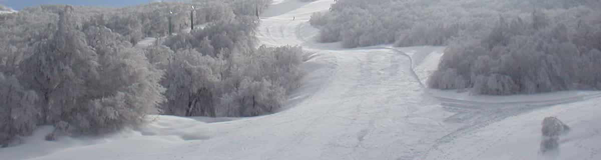
Mappa neve |  |  |  |  |  |  | ||||||||||||
— | — | — | — | — | — | — | — | — | — | — | — | — | — | — | — | — | — | |
mm | — | 2 | 6 | 2 | — | 1 | 2 | 5 | 5 | 1 | — | — | — | — | 1 | 2 | 7 | 4 |
max °C | 13 | 13 | 11 | 11 | 15 | 13 | 9 | 11 | 10 | 11 | 15 | 14 | 16 | 22 | 20 | 14 | 12 | 12 |
min °C | 11 | 13 | 9 | 9 | 14 | 11 | 9 | 10 | 9 | 9 | 14 | 11 | 12 | 20 | 14 | 13 | 11 | 9 |
chill °C | 11 | 12 | 7 | 8 | 13 | 10 | 8 | 8 | 7 | 7 | 13 | 11 | 12 | 20 | 14 | 13 | 10 | 9 |
Umido. % | 68 | 71 | 76 | 58 | 47 | 68 | 96 | 80 | 69 | 54 | 38 | 53 | 42 | 31 | 66 | 78 | 96 | 98 |
Zero termico m | 3250 | 3050 | 2650 | 2700 | 3000 | 3000 | 2750 | 2800 | 2550 | 2650 | 3250 | 3650 | 3700 | 4050 | 4050 | 3550 | 3200 | 3250 |
5:28 | — | — | 5:30 | — | — | 5:31 | — | — | 5:31 | — | — | 5:33 | — | — | 5:33 | — | — | |
— | — | 8:52 | — | — | 8:52 | — | — | 8:51 | — | — | 8:50 | — | — | 8:49 | — | — | 8:47 | |
Diventa pro e intaglia:
Informazioni valanghe: European Avalanche Warning Services (EAWS)
Gli ultimi report della neve vicino a Obertraun:
| La profondità maggiore della neve é: | 0 cm |
|---|---|
| La profondità minore della neve é: | 0 cm |
| Fresh snowfall depth: | — |
| Quando ha nevicato l'ultima volta? | 16 May 2026 |
0.0 | Giorni neve fresca Neve fresca, prevalentemente soleggiato, vento debole. |
|---|---|
0.0 | Giorni neve fresca Fresh snow, limited sun, any wind. |
0.0 | Giorni Bluebird Neve media, prevalentemente soleggiato, vento debole. |
La tabella sopra da le previsioni meteo per Obertraun a specifiche altezze 1354 m. I nostri sofisticati modelli meteo ci consentono di fornire previsioni neve per la vetta, l'area intermedia e a valle delle stazioni sciistiche di Obertraun. Per accedere alle previsioni meteo ad altre altezze, per spostarti usa tab sopra la tabella. Per una visione meteo piu' ampia , controlla la mappa meteo di Austria.
Clicca qui per leggere ulteriori informazioni sullo zero termico e il nostro sistema di prevedere le temperature.
Complessivamente 4.3 Basato su 12 voti e 1 recensione
Really pleasant, quiet village. Ideal for those who enjoy a quiet drink in local bars & restaraunts without 'tourist events'. Skiing on the Krippenstein is good off-piste, lift-pass includes Dachstein West (short transfer) 140km of intermediate piste. Stay at the Obertrauner Hof, centre of village; good quality clean & friendly. Overall, ideal for those that don't want the crowds, but no compromise on the skiing!!
Trevor Benton da United Kingdom scrive:
Really pleasant, quiet village.
Ideal for those who enjoy a quiet drink in local bars & restaraunts without 'tourist events'.
Skiing on the Krippenstein is good off-piste, lift-pass includes Dachstein West (short transfer) 140km of intermediate piste.
Stay at the Obertrauner Hof, centre of village; good quality clean & friendly.
Overall, ideal for those that don't want the crowds, but no compromise on the skiing!!


 Nearest