Publicato da Snow-Forecast.com a:7 am (ora locale) / 31 Jul 2026
Ultimi 6 giorniScorri a sinistra per gli ultimi 6 giorniOra
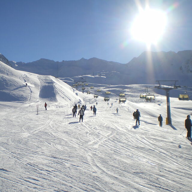
Next 3 days weather summary:
Pioggia abbondante (totale 49.0mm), più pesante durante Venerdì notte. Temperature moderate (max 11°C Venerdì mattina, min 6°C Venerdì notte). Vento sarà generalmente leggero.
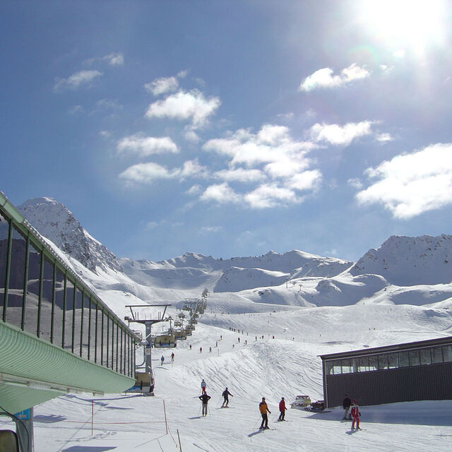
Giorni 4-6 Obergurgl sommario meteo
Pioggia abbondante (totale 36.0mm), più pesante durante Martedì notte. Temperature moderate (max 12°C Mercoledì pomeriggio, min 9°C Lunedì mattina). Vento sarà generalmente leggero.
La tabella sopra da le previsioni meteo per Obergurgl a specifiche altezze 3080 m. I nostri sofisticati modelli meteo ci consentono di fornire previsioni neve per la vetta, l'area intermedia e a valle delle stazioni sciistiche di Obergurgl. Per accedere alle previsioni meteo ad altre altezze, per spostarti usa tab sopra la tabella. Per una visione meteo piu' ampia , controlla la mappa meteo di Austria.
Clicca qui per leggere ulteriori informazioni sullo zero termico e il nostro sistema di prevedere le temperature.
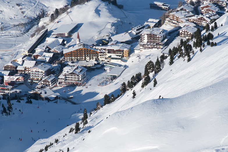
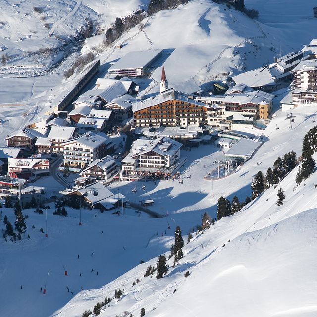
Recensioni dei visitatori di Obergurgl
Complessivamente 4.0 Basato su 47 voti e 47 recensioni
Just returned from a week in Obergurgl staying at Haus Verwall Apartments. Accommodation was excellent, clean, modern, great breakfasts, wonderful host and right by ski school and bottom lifts. Would recommend this accommodation to anybody with a number of restaurants and takeaways within a few minutes walk. Weather was excellent, blue skies, no wind and the slopes well groomed. Temperatures slightly higher than normal so best skiing in the morning leaving the afternoons for playing in the sun. Nederhutte can't be beaten for apres-ski and you can still ski down to the town or ride on a skidoo if you've overdone the partying. Overall, a good family oriented resort with a good mix of runs for all abilities. If you run out of pistes to explore there is a free bus service to Solden and the lift pass covers it all. Great time was had by all from age 4 to 62.
Complessivamente: 4.0 Basato su 47 voti e 47 recensioni
Snowsure
4.8
Varietà di piste
4.3
Fuoripista
3.5
Paesaggio
4.5
Apres-Ski
3.6
TonyS da United Kingdom scrive:
Just returned from a week in Obergurgl staying at Haus Verwall Apartments. Accommodation was excellent, clean, modern, great breakfasts, wonderful host and right by ski school and bottom lifts. Would recommend this accommodation to anybody with a number of restaurants and takeaways within a few minutes walk. Weather was excellent, blue skies, no wind and the slopes well groomed. Temperatures slightly higher than normal so best skiing in the morning leaving the afternoons for playing in the sun. Nederhutte can't be beaten for apres-ski and you can still ski down to the town or ride on a skidoo if you've overdone the partying. Overall, a good family oriented resort with a good mix of runs for all abilities. If you run out of pistes to explore there is a free bus service to Solden and the lift pass covers it all. Great time was had by all from age 4 to 62.
Gratis Snow-Forecast.com weather widget per il tho sito
Il Obergurgl widget meteo qui sotto è disponibile per essere incorporato su siti Web esterni a titolo gratuito. Esso fornisce un riepilogo giornaliero delle nostre Obergurgl previsioni meteo neve e dati meteo. Basta andare alla pagina di configurazione e seguire 3 semplici passi per prendere il codice html personalizzato ed incollarlo nel tuo sito. È possibile scegliere l'elevazione di previsione di neve (vetta, metà o piede della montagna) e l'unità metrica/imperiale per le previsioni meteo neve adeguata al proprio sito Web Clicca qui per ottenere il codice


 Nearest