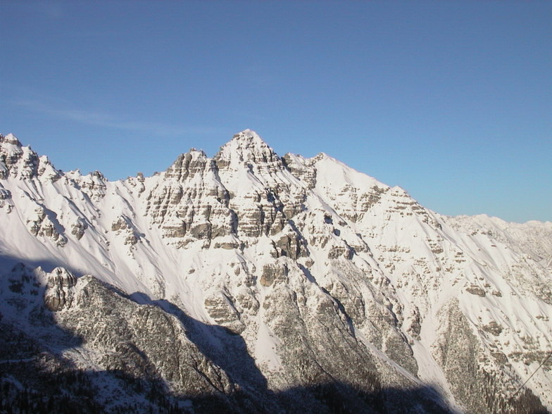


America’s Next Indoor Snow Centre Takes Shape
Construction of a new indoor snow centre for skiers, boarders and tubers appears to be making good progress at Heritage Farm in Wayne County, West Virginia.

Next 3 days weather summary:Pioviggina all'inizio, per poi diventare più freddo con spolverate di neve Martedì pomeriggio. Condizioni di gelo e disgelo (max 2°C Lunedì pomeriggio, min -2°C Martedì notte). Vento sarà generalmente leggero. | Giorni 4-6 Neustift sommario meteoInizialmente temperato con pioggia leggera (totale 5.0mm) Sabato notte seguito da temperature più fredde ed una leggera nevicata, più pesante Sabato notte. Condizioni di gelo e disgelo (max 5°C Sabato mattina, min -3°C Giovedì notte). Vento sarà generalmente leggero. | ||||||||||||||||
Lun 20 | Martedì 21 | Mercoledì 22 | Giovedì 23 | Venerdì 24 | Sabato 25 | ||||||||||||
PM | notte | AM | PM | notte | AM | PM | notte | AM | PM | notte | AM | PM | notte | AM | PM | notte | |
rovesci neve | limpido | rovesci neve | rovesci neve | rovesci neve | limpido | poche nuvole | poche nuvole | rovesci neve | rovesci neve | rovesci neve | limpido | limpido | limpido | limpido | rischio temporale | neve mod. | |
km/h | |||||||||||||||||
Mappa neve |  |  |  |  |  |  | |||||||||||
— | — | — | 2 | — | — | — | — | — | 1 | — | — | — | — | — | — | 8 | |
mm | 1 | — | — | — | — | — | — | — | — | — | — | — | — | — | — | 1 | 4 |
max °C | 2 | 2 | 1 | 1 | -1 | -1 | 2 | 1 | -1 | -1 | -2 | 1 | 4 | 4 | 5 | 5 | 4 |
min °C | 2 | 2 | 1 | 1 | -2 | -1 | 1 | 0 | -1 | -1 | -3 | 0 | 2 | 3 | 5 | 5 | 0 |
chill °C | -1 | -1 | -2 | -3 | -7 | -5 | -2 | -4 | -6 | -6 | -9 | -4 | 0 | 1 | 3 | 3 | -3 |
Umido. % | 89 | 70 | 79 | 81 | 77 | 65 | 68 | 74 | 85 | 87 | 77 | 25 | 51 | 39 | 38 | 72 | 97 |
Zero termico m | 3550 | 3600 | 3400 | 3350 | 2900 | 3100 | 3650 | 3250 | 3050 | 3050 | 2750 | 3500 | 3850 | 3900 | 4000 | 4000 | 3450 |
— | — | 5:39 | — | — | 5:41 | — | — | 5:41 | — | — | 5:43 | — | — | 5:43 | — | — | |
— | 9:01 | — | — | 9:00 | — | — | 9:00 | — | — | 8:59 | — | — | 8:58 | — | — | 8:57 | |
Diventa pro e intaglia:
Informazioni valanghe: European Avalanche Warning Services (EAWS)
Gli ultimi report della neve vicino a Neustift:
| La profondità maggiore della neve é: | 0 cm |
|---|---|
| La profondità minore della neve é: | 0 cm |
| Fresh snowfall depth: | — |
| Quando ha nevicato l'ultima volta? | 10 Jun 2026 |
0.1 | Giorni neve fresca Neve fresca, prevalentemente soleggiato, vento debole. |
|---|---|
0.6 | Giorni neve fresca Fresh snow, limited sun, any wind. |
0.0 | Giorni Bluebird Neve media, prevalentemente soleggiato, vento debole. |


La tabella sopra da le previsioni meteo per Neustift a specifiche altezze 3250 m. I nostri sofisticati modelli meteo ci consentono di fornire previsioni neve per la vetta, l'area intermedia e a valle delle stazioni sciistiche di Neustift. Per accedere alle previsioni meteo ad altre altezze, per spostarti usa tab sopra la tabella. Per una visione meteo piu' ampia , controlla la mappa meteo di Austria.
Clicca qui per leggere ulteriori informazioni sullo zero termico e il nostro sistema di prevedere le temperature.
Complessivamente 4.1 Basato su 17 voti e 6 recensioni
This was our first visit to Neustift, in the winter, although we have visited 5 times in the summer for walking. The valley is beautiful and it captures our hearts every time we visit. This time we brought our grown up family and their partners to ski and enjoy the New Year. As always, the food, service and wonderful scenery did not disappoint.
Jane da United Kingdom scrive:
This was our first visit to Neustift, in the winter, although we have visited 5 times in the summer for walking.
The valley is beautiful and it captures our hearts every time we visit.
This time we brought our grown up family and their partners to ski and enjoy the New Year.
As always, the food, service and wonderful scenery did not disappoint.


 Nearest