Publicato da Snow-Forecast.com a:7 pm (ora locale) / 02 Aug 2026
Ultimi 6 giorniScorri a sinistra per gli ultimi 6 giorniOra
Next 4 days weather summary:
Pioggia moderata (totale 17.0mm), più pesante Domenica notte. Temperature moderate (max 18°C Martedì mattina, min 11°C Domenica notte). Vento sarà generalmente leggero.
Giorni 5-7 Kaunertal sommario meteo
Pioggia abbondante (totale 62.0mm), più pesante durante Giovedì notte. Temperature moderate (max 18°C Giovedì pomeriggio, min 8°C Venerdì notte). Vento sarà generalmente leggero.
La tabella sopra da le previsioni meteo per Kaunertal a specifiche altezze 2224 m. I nostri sofisticati modelli meteo ci consentono di fornire previsioni neve per la vetta, l'area intermedia e a valle delle stazioni sciistiche di Kaunertal. Per accedere alle previsioni meteo ad altre altezze, per spostarti usa tab sopra la tabella. Per una visione meteo piu' ampia , controlla la mappa meteo di Austria.
Clicca qui per leggere ulteriori informazioni sullo zero termico e il nostro sistema di prevedere le temperature.
Recensioni dei visitatori di Kaunertal
Complessivamente 3.9 Basato su 17 voti e 2 recensioni
The first big advantage of the Kaunertal is the ability to drive with your
car up to 2750m, directly to the glacier. The drive from Feichten (last town)
to the glacier is about 30km, beautiful landscapes and a huge lake included.
The ski resorts offers everything for a beginner and an expert. A great funpark
for snowboarder (beginner and experts), a halfpipe and obstacles. There are six surface lifts and two chair lifts (down to 2150m). So you are able to carve down
from 3162m to 2150m on one piece, great!
The next big thing is, that there are no masses of tourists and the tracks are
shaped nearly daily.
My favorite resort,
wiesi
http://www.mysnowboard.de
Complessivamente: 3.9 Basato su 17 voti e 2 recensioni
Snowsure
5.0
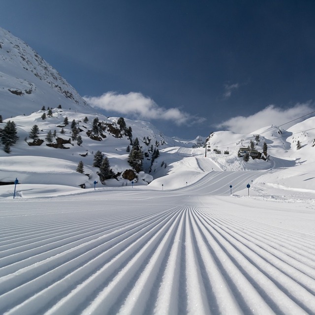
Varietà di piste
4.1
Fuoripista
4.0
Paesaggio
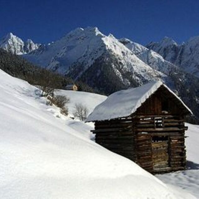
4.3
Apres-Ski
2.4
wiesi da Germany scrive:
The first big advantage of the Kaunertal is the ability to drive with your
car up to 2750m, directly to the glacier. The drive from Feichten (last town)
to the glacier is about 30km, beautiful landscapes and a huge lake included.
The ski resorts offers everything for a beginner and an expert. A great funpark
for snowboarder (beginner and experts), a halfpipe and obstacles. There are six surface lifts and two chair lifts (down to 2150m). So you are able to carve down
from 3162m to 2150m on one piece, great!
The next big thing is, that there are no masses of tourists and the tracks are
shaped nearly daily.
My favorite resort,
wiesi
http://www.mysnowboard.de
Gratis Snow-Forecast.com weather widget per il tho sito
Il Kaunertal widget meteo qui sotto è disponibile per essere incorporato su siti Web esterni a titolo gratuito. Esso fornisce un riepilogo giornaliero delle nostre Kaunertal previsioni meteo neve e dati meteo. Basta andare alla pagina di configurazione e seguire 3 semplici passi per prendere il codice html personalizzato ed incollarlo nel tuo sito. È possibile scegliere l'elevazione di previsione di neve (vetta, metà o piede della montagna) e l'unità metrica/imperiale per le previsioni meteo neve adeguata al proprio sito Web Clicca qui per ottenere il codice


 Nearest