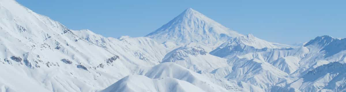
La tabella sopra da le previsioni meteo per Igls a specifiche altezze 870 m. I nostri sofisticati modelli meteo ci consentono di fornire previsioni neve per la vetta, l'area intermedia e a valle delle stazioni sciistiche di Igls. Per accedere alle previsioni meteo ad altre altezze, per spostarti usa tab sopra la tabella. Per una visione meteo piu' ampia , controlla la mappa meteo di Austria.
Clicca qui per leggere ulteriori informazioni sullo zero termico e il nostro sistema di prevedere le temperature.
Recensioni dei visitatori di Igls
Complessivamente 3.7 Basato su 2 voti e 2 recensioni
18-01-06 to 21-01-06
Well what can I say, the snow was awesome, out of this world. Food in the mountains was superb, highly recommend the goulash soup, top grub, can't beat it, and reasonably priced.
We went on the three night trip with Lastminute.com (bargain at £99) and enjoyed two full days skiing on fresh powder on uncrowded pistes.
We stayed at the Gruberhof Hotel which although resembled 30's Moscow, we could not fault the hospitality and food; it more than made up for it.
If you want a short skiing break in Austria, with a short transfer (25 mins) on a scheduled flight then its "Happy Days".
Complessivamente: 3.7 Basato su 2 voti e 2 recensioni
Snowsure
3.0
Varietà di piste
3.0
Paesaggio
4.0
Apres-Ski
3.0
Accesso
5.0
Philip Yates da United Kingdom scrive:
18-01-06 to 21-01-06
Well what can I say, the snow was awesome, out of this world. Food in the mountains was superb, highly recommend the goulash soup, top grub, can't beat it, and reasonably priced.
We went on the three night trip with Lastminute.com (bargain at £99) and enjoyed two full days skiing on fresh powder on uncrowded pistes.
We stayed at the Gruberhof Hotel which although resembled 30's Moscow, we could not fault the hospitality and food; it more than made up for it.
If you want a short skiing break in Austria, with a short transfer (25 mins) on a scheduled flight then its "Happy Days".
Gratis Snow-Forecast.com weather widget per il tho sito
Il Igls widget meteo qui sotto è disponibile per essere incorporato su siti Web esterni a titolo gratuito. Esso fornisce un riepilogo giornaliero delle nostre Igls previsioni meteo neve e dati meteo. Basta andare alla pagina di configurazione e seguire 3 semplici passi per prendere il codice html personalizzato ed incollarlo nel tuo sito. È possibile scegliere l'elevazione di previsione di neve (vetta, metà o piede della montagna) e l'unità metrica/imperiale per le previsioni meteo neve adeguata al proprio sito Web Clicca qui per ottenere il codice


 Nearest