Ultimi 6 giorniScorri a sinistra per gli ultimi 6 giorniOra
Next 4 days weather summary:
Pioggia abbondante (totale 47.0mm), più pesante durante Venerdì notte. Temperature moderate (max 19°C Venerdì pomeriggio, min 10°C Sabato pomeriggio). Vento sarà generalmente leggero.
Giorni 5-7 Hochkar-Göstling sommario meteo
Pioggia abbondante (totale 26.0mm), più pesante durante Domenica notte. Temperature moderate (max 14°C Domenica pomeriggio, min 6°C Domenica notte). Principalmente venti freschi.
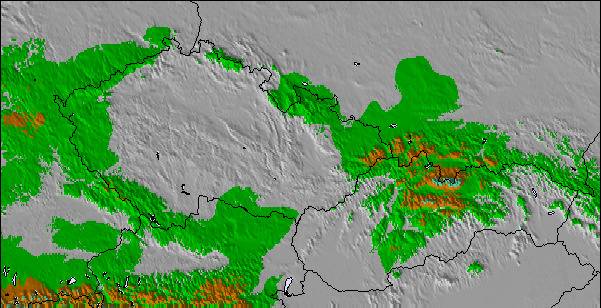
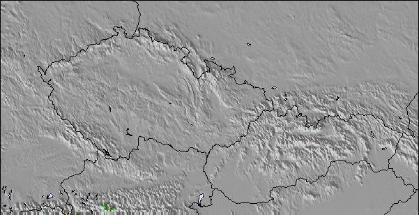
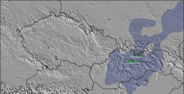
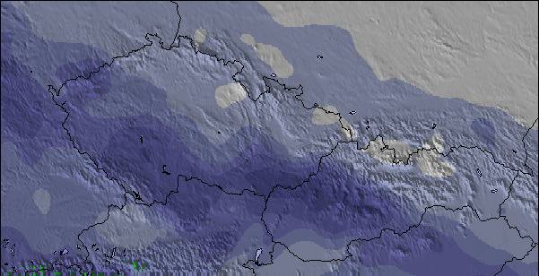
La tabella sopra da le previsioni meteo per Hochkar-Göstling a specifiche altezze 1807 m. I nostri sofisticati modelli meteo ci consentono di fornire previsioni neve per la vetta, l'area intermedia e a valle delle stazioni sciistiche di Hochkar-Göstling. Per accedere alle previsioni meteo ad altre altezze, per spostarti usa tab sopra la tabella. Per una visione meteo piu' ampia , controlla la mappa meteo di Austria.
Clicca qui per leggere ulteriori informazioni sullo zero termico e il nostro sistema di prevedere le temperature.
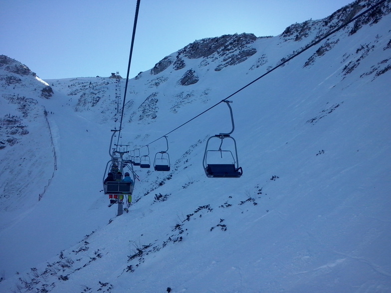
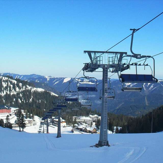
Il nome della localita' è scritto anche come Hochkar-Gostling.
Recensioni dei visitatori di Hochkar-Göstling
Complessivamente 3.7 Basato su 12 voti e 1 recensione
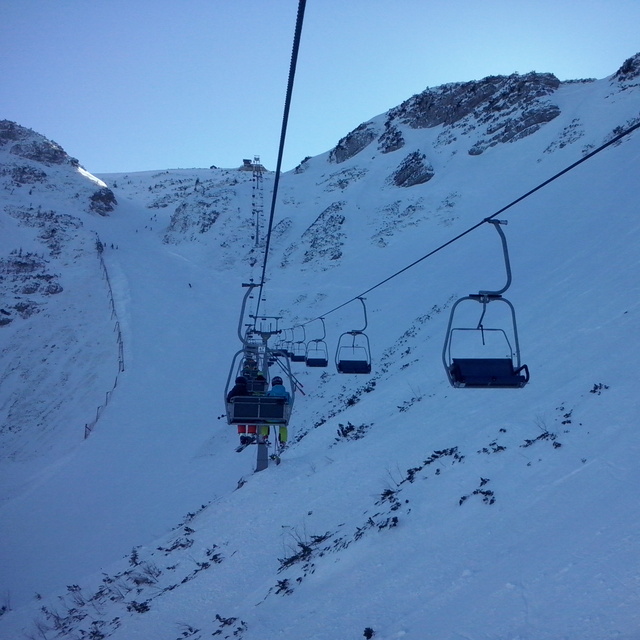
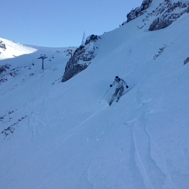
I skied here on their last open weekend in April of 2008. With about 10 cm of fresh snow and about 20 other skiers on the mountain, it was an amazing day. Unfortunately the low clouds limited my ability to explore, but I was in untracked powder all day, often in the low trees. Most of the on-mountain facilities were closed for the season, but I only needed the one chalet that was open for a Kasekrainer and Almdudler. As I pulled out of the parking lot at the end of the day, the clouds lifted to show more of the mountain that I hadn't had time to reach. This isn't a destination ski resort, but it's close enough to Vienna to provide, for me at least, some excellent unexpected thrills.
Complessivamente: 3.7 Basato su 12 voti e 1 recensione
Snowsure
2.5
Varietà di piste
3.0
Fuoripista
3.0
Paesaggio
4.0
Apres-Ski
2.6
BRich da United States scrive:
I skied here on their last open weekend in April of 2008. With about 10 cm of fresh snow and about 20 other skiers on the mountain, it was an amazing day. Unfortunately the low clouds limited my ability to explore, but I was in untracked powder all day, often in the low trees. Most of the on-mountain facilities were closed for the season, but I only needed the one chalet that was open for a Kasekrainer and Almdudler. As I pulled out of the parking lot at the end of the day, the clouds lifted to show more of the mountain that I hadn't had time to reach. This isn't a destination ski resort, but it's close enough to Vienna to provide, for me at least, some excellent unexpected thrills.
Gratis Snow-Forecast.com weather widget per il tho sito
Il Hochkar-Göstling widget meteo qui sotto è disponibile per essere incorporato su siti Web esterni a titolo gratuito. Esso fornisce un riepilogo giornaliero delle nostre Hochkar-Göstling previsioni meteo neve e dati meteo. Basta andare alla pagina di configurazione e seguire 3 semplici passi per prendere il codice html personalizzato ed incollarlo nel tuo sito. È possibile scegliere l'elevazione di previsione di neve (vetta, metà o piede della montagna) e l'unità metrica/imperiale per le previsioni meteo neve adeguata al proprio sito Web Clicca qui per ottenere il codice


 Nearest