
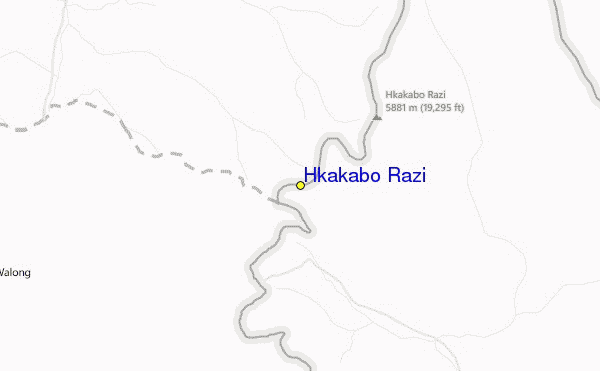
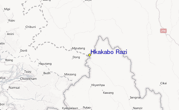
Hkakabo Razi sommario
Statistiche pendenza
5881m
1524m
4357m
- Acri di pista da scii:-
- Piste:-
- Innevamento:-
- Halfpipe:-
- Terrain Parks:-
- Campestre:-
- Principiante-
- Intermedio-
- Avanzato-

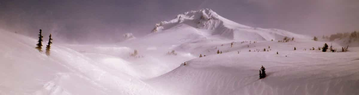
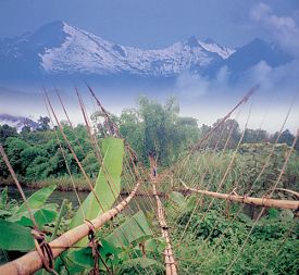
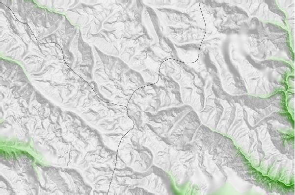
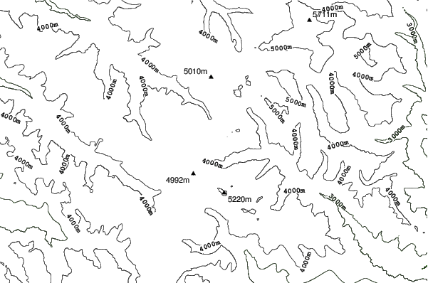
Hkakabo Razi is the highest mountain in Myanmar at 19,294 feet (5,881 metres and Myanmar was, until 1987, known as Burma.) The summit tip borders Tibet and India, also. The mountain is an extension of the Eastern Himalayas. Although low in comparison with Himalayan giants, Hkakabo Razi is perennially snow capped. Hkakabo Razi lies in the Hkakabo Razi protected area, established in 1996 which covers over 3812 square kilometres. Before 1993 this area was not accessable to foreigners. The first recorded attempt at the peak was made in 1995 by Takashai Ozaki, from Japan. He failed due to persistent bad weather. A year later he returned, and this time succeeded. Nyama Gyaltsen from Myanmar made it too. Like the main Himalayas, these mountains are heavily affected by the monsoon. Hkakabo Razi is certainly not a walk up. Huge cliffs with D+ climbing, hanging glaciers with large crevasses, and cornices, makes it a mountain not to be toyed with. The approach to the mountain is a major obstacle: there are unstable bridges, over huge gorges. For the most part, journeys are made on foot along footpaths that hug the mountainside and wind through dense jungle undergrowth. Ozaki demands four weeks walking to approach the base camp above 3000m/10000ft.
Viaggio
- Aeroporto di pertinenza:Rangoon
- Treno:-
- Website della località:www.peakware.com/encyclopedia/peaks/addapeak697.htm
- versante accom.:-
 -
- -
-
Impianti risalita
- Apertura stagione:
- Chiusura stagione:
- Lifts:-
 -
-

Ultimo bollettino nevevisualizza il bollettino neve completo
- Emesso:15 Jul
- Ultima nevicata:—
- Manto Nevoso (superiore):–
- Manto Nevoso (inferiore):–
- Piste:—
- Fuori pista:—
Meteo di Oggi (5119 m)Visualizza previsioni complete neve
| notte | 3 °C | F-Level 5600 m | ||
| AM | 5 °C | F-Level 5900 m | ||
| PM | 4 °C | F-Level 5650 m |
Tra le località vicine a Hkakabo Razi ci sono:
- Auli 1744km
- Manali (Himachal Heli-Ski) 1990km
- Kufri 1991km
- Solang Valley Ropeway & Ski Centre 1992km
- Changchengling Ski Resort 2137km
Hkakabo Razi Mappe del Luogo

(vedi anche la nostra dettagliata mappa meteo attorno a Hkakabo Razi, che vi dara' una visione d'insieme delle attuali e future condizioni neve)
Recensioni dei visitatori di Hkakabo Razi
Roger da Canada scrive:
There was a plan to build a resort on this mountain led by former billionaire Thai Prime Minister Taksin. Of course, nothing came of it because it probably made little sense.
 Previsioni della città piu’ vicina per Hkakabo Razi
- Pasighat, India202km
- Tinsukia, India215km
- Dibrugarh, India270km
- Sibsagar, India306km
- Myitkyina, Myanmar (Burma)318km
 più vicina destinazione per surf per Hkakabo Razi
- Cox's Bazar, Bangladesh933km
- Puri Beach, India1503km
- Dadonghai, China1665km
- Jinzonglu, China1674km
- Ocean Bay Golf Club, China1685km
 Vette montagne
più vicine a Hkakabo Razi
- Hkakabo Razi, Myanmar11km
- Kang Karpo, China119km
- Bairiga, China122km
- Kawagebo or Kawagarbo, China129km
- Bumhpa Bum, Myanmar174km
Nelle vicinanze delle località Hkakabo Razi
 Nearest