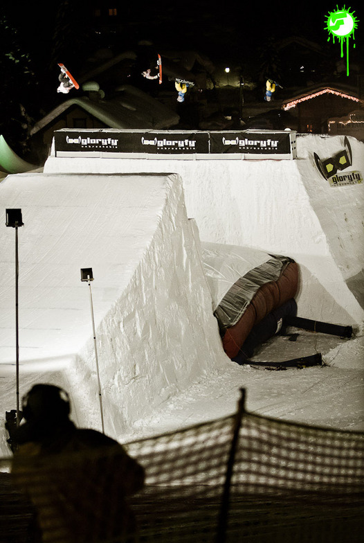


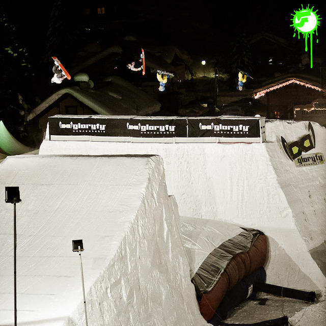
Portillo Re-Opens To Guests Arriving By Helicopter
Chile’s famous Portillo ski resort is reported to have re-opened to guests arriving by helicopter after being cut off by road for more than two weeks by over 6m/20 feet of snowfall.

Next 3 days weather summary:Pioggia abbondante (totale 28.0mm), più pesante durante Mercoledì notte. Temperature moderate (max 16°C Martedì pomeriggio, min 11°C Mercoledì notte). Vento sarà generalmente leggero. | Giorni 4-6 Gerlos sommario meteoPioggia abbondante (totale 30.0mm), più pesante durante Giovedì notte. Temperature moderate (max 13°C Giovedì pomeriggio, min 7°C Venerdì mattina). Vento sarà generalmente leggero. | ||||||||||||||||
Lun 3 | Martedì 4 | Mercoledì 5 | Giovedì 6 | Venerdì 7 | Sabato 8 | ||||||||||||
PM | notte | AM | PM | notte | AM | PM | notte | AM | PM | notte | AM | PM | notte | AM | PM | notte | |
rischio temporale | rovesci pioggia | limpido | rischio temporale | rovesci pioggia | rischio temporale | rischio temporale | rovesci pioggia | rischio temporale | rischio temporale | forte pioggia | pioggia moderata | rischio temporale | rovesci pioggia | limpido | rischio temporale | rovesci pioggia | |
km/h | |||||||||||||||||
Mappa neve |  |  |  |  |  |  | |||||||||||
— | — | — | — | — | — | — | — | — | — | — | — | — | — | — | — | — | |
mm | 2 | 1 | — | 1 | 1 | 2 | 5 | 14 | 2 | 6 | 11 | 7 | 2 | 1 | — | 2 | 1 |
max °C | 15 | 13 | 15 | 16 | 14 | 13 | 14 | 13 | 13 | 13 | 11 | 8 | 10 | 9 | 10 | 11 | 10 |
min °C | 14 | 12 | 13 | 15 | 12 | 12 | 14 | 11 | 12 | 13 | 8 | 7 | 9 | 8 | 9 | 10 | 9 |
chill °C | 14 | 11 | 13 | 15 | 12 | 12 | 14 | 11 | 12 | 13 | 8 | 7 | 9 | 8 | 9 | 10 | 9 |
Umido. % | 62 | 63 | 60 | 64 | 69 | 73 | 76 | 87 | 71 | 80 | 97 | 90 | 82 | 84 | 79 | 84 | 67 |
Zero termico m | 4550 | 4450 | 4450 | 4600 | 4550 | 4400 | 4550 | 4450 | 4350 | 4400 | 4050 | 3900 | 4050 | 4050 | 4050 | 4150 | 4200 |
— | — | 5:52 | — | — | 5:54 | — | — | 5:54 | — | — | 5:56 | — | — | 5:58 | — | — | |
— | 8:43 | — | — | 8:40 | — | — | 8:39 | — | — | 8:37 | — | — | 8:37 | — | — | 8:35 | |
Diventa pro e intaglia:
Informazioni valanghe: European Avalanche Warning Services (EAWS)
Gli ultimi report della neve vicino a Gerlos:
| La profondità maggiore della neve é: | — |
|---|---|
| La profondità minore della neve é: | — |
| Fresh snowfall depth: | — |
| Quando ha nevicato l'ultima volta? | 10 Jun 2026 |
0.0 | Giorni neve fresca Neve fresca, prevalentemente soleggiato, vento debole. |
|---|---|
0.0 | Giorni neve fresca Fresh snow, limited sun, any wind. |
0.0 | Giorni Bluebird Neve media, prevalentemente soleggiato, vento debole. |
La tabella sopra da le previsioni meteo per Gerlos a specifiche altezze 2499 m. I nostri sofisticati modelli meteo ci consentono di fornire previsioni neve per la vetta, l'area intermedia e a valle delle stazioni sciistiche di Gerlos. Per accedere alle previsioni meteo ad altre altezze, per spostarti usa tab sopra la tabella. Per una visione meteo piu' ampia , controlla la mappa meteo di Austria.
Clicca qui per leggere ulteriori informazioni sullo zero termico e il nostro sistema di prevedere le temperature.
Complessivamente 4.0 Basato su 1 vote e 4 recensioni
I like Gerlos resort and its slopes because they have a very "laid back", relaxed atmosphere to them. Many of the slopes are sunny throughout the day, the views are great, so you can cruise on the slopes, then sit back, sunbathe and enjoy the view, then ride some more. Gerlos is a very nice place to take a relaxing "break" after riding some more demanding Zillertal slopes, like Hintertux.
Iancu da Romania scrive:
I like Gerlos resort and its slopes because they have a very "laid back", relaxed atmosphere to them. Many of the slopes are sunny throughout the day, the views are great, so you can cruise on the slopes, then sit back, sunbathe and enjoy the view, then ride some more. Gerlos is a very nice place to take a relaxing "break" after riding some more demanding Zillertal slopes, like Hintertux.


 Nearest