

Whakapapa sommario

Statistiche pendenza
2300m
675m
1625m
- Acri di pista da scii:1100
- Piste:30
- Innevamento:10%
- Halfpipe:1
- Terrain Parks:2
- Campestre:-
- Principiante30%
- Intermedio45%
- Avanzato25%

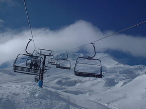
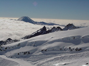
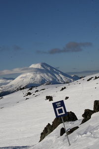
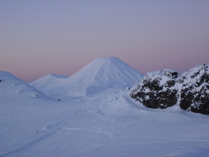
Whakapapa (New Zealand's largest ski area since joining with Turoa Ski Resort) is part of Tongariro National Park, New Zealand's oldest National Park and a World Heritage area. Whakapapa is operated under a license issued by the Department of Conservation and is owned and run by Ruapehu Alpine Lifts Ltd. There are 43 trails at Whakapapa with terrain for all ability levels, including off-piste expert terrain. The ski area can be broken into three: Happy Valley (a self contained beginners area), the east side (where the majority of lifts and services are located) and the west side (highlighted by the lift accessed back-country terrain). The nearest airport to Whakapapa is in Wellington.
Viaggio
- Aeroporto di pertinenza:Taupo
- Treno:National Park Village
- Telefono:+6478924000
- Website della località:https://www.mtruapehu.com/whakapapa
- versante accom.:-
 4
4 -
-
Impianti risalita

- Apertura stagione:8 Jul 2026
- Chiusura stagione:25 Oct 2026
- Lifts:15 ( 7 chairlifts, 7 surface lifts )
 1
1 7
7 7
7
Ultimo bollettino nevevisualizza il bollettino neve completo
- Emesso:17 Jul
- Ultima nevicata:—
- Manto Nevoso (superiore):25cm
- Manto Nevoso (inferiore):11cm
- Piste:Packed powder and groomed snow
- Fuori pista:—
Meteo di Oggi (1962 m)Visualizza previsioni complete neve
| notte | 0 °C | F-Level 1850 m | ||
| AM | -2 °C | F-Level 1550 m | ||
| PM | -2 °C | F-Level 1650 m |
Tra le località vicine a Whakapapa ci sono:
- Tukino 8km
- Turoa 9km
- Manganui 126km
- Rainbow 372km
- Mount Lyford 410km
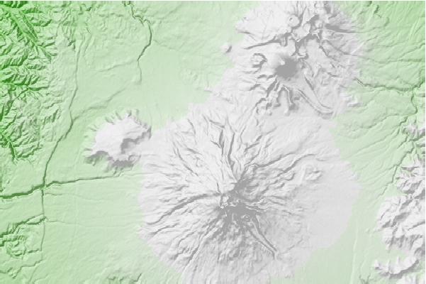
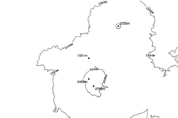
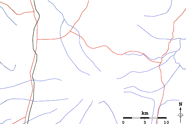
Whakapapa Mappe del Luogo
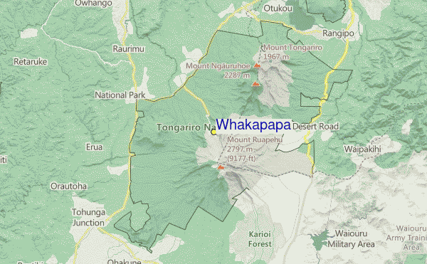
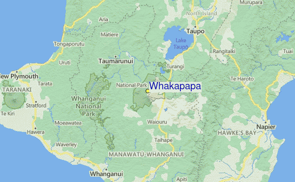

(vedi anche la nostra dettagliata mappa meteo attorno a Whakapapa, che vi dara' una visione d'insieme delle attuali e future condizioni neve)
Recensioni dei visitatori di Whakapapa
Geoff Powdrell da Australia scrive:
I love this mountain and always will. I may have a different perspective to many because I always stay in one of the ski lodges on Whakapapa. Staying on the mountain is a beautiful experience. I took a party of 10 to stay at our lodge in August 2023 and we all had an amazing time, it was a great snow season. We tried the same again in August 2024 but the snow gods were not forthcoming. However, we improvised and did bush walks, hot pools and other activities to make up for the lack of snow and conditions. I have been coming here since I was a tiny tot in the late seventies so my views are the same, always a great experience at Whakapapa.
 Previsioni della città piu’ vicina per Whakapapa
- Wanganui, New Zealand89km
- Hastings, New Zealand120km
- Palmerston North, New Zealand125km
- Napier, New Zealand126km
- New Plymouth, New Zealand130km
 più vicina destinazione per surf per Whakapapa
- Kai-Iwi, New Zealand92km
- Karaka Street, New Zealand93km
- Morgan Street (North Mole), New Zealand93km
- Rangiora Street, New Zealand93km
- South Beach (Wanganui), New Zealand94km
 Vette montagne
più vicine a Whakapapa
- Whakapapaiti Hut, New Zealand3km
- Ruapehu, New Zealand7km
- Whangaehu Hut, New Zealand7km
- Hauhungatahi, New Zealand9km
- Mangaturuturu Hut, New Zealand9km
Nelle vicinanze delle località Whakapapa
 Nearest