Title: World-Class Terrain and Unbeatable Snow, but Bring Your Wallet
I’ve just returned from another trip to Val d'Isère, and it continues to justify its reputation as one of the premier resorts in the Alps. Sharing the massive 300km Tignes-Val d'Isère ski area (formerly Espace Killy), the sheer volume and variety of skiing available is staggering.
The Skiing & Snow
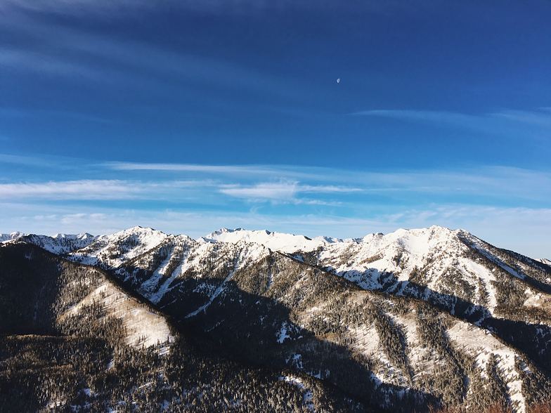
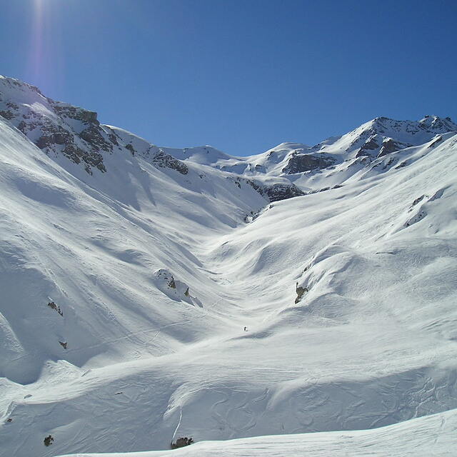
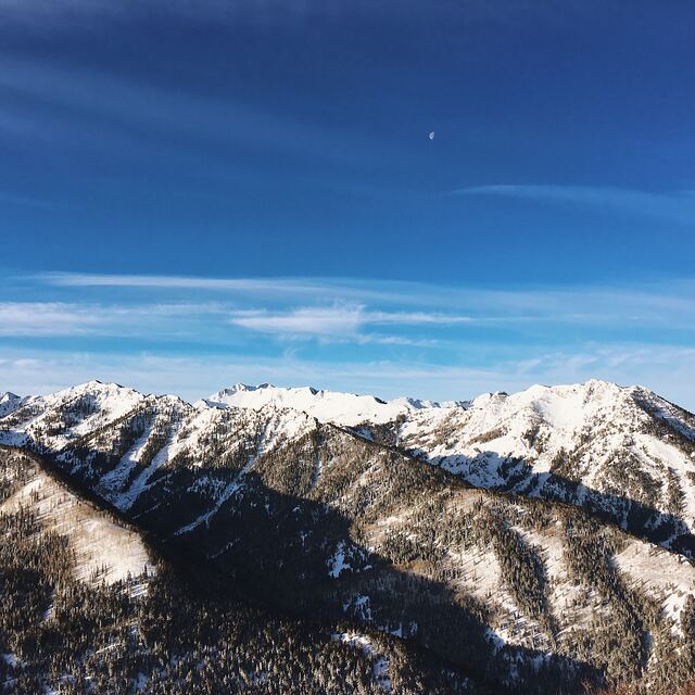
Val d'Isère's biggest draw is its snow reliability. The village sits at a snow-sure 1,850m, and the local microclimate frequently delivers accumulated seasonal snowfall of over six meters. It’s an absolute mecca for strong intermediate and advanced skiers. The lift-accessed off-piste is legendary—if you head over to the quieter Le Fornet sector, you'll find incredible powder bowls and reliable high-altitude cruising runs.
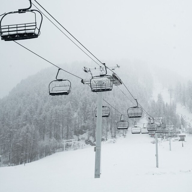
The lift system is highly efficient with plenty of fast, modern chairs that keep queues to a minimum. The only downside to the skiing is that the resort is quite spread out, meaning you will inevitably encounter some long, flat green-run traverses. Additionally, beginners and early intermediates should be cautious at the end of the day; the blue "Santons" run back to the village gets very steep, congested, and icy, so it is often better to download via the Olympique or Funival lifts.
The Village & Vibe
Unlike neighboring Tignes, Val d'Isère has managed to retain its traditional Savoyard character, featuring beautiful old stone-built chalets clustered around the historic church center. Getting around is a breeze thanks to an incredibly efficient, free shuttle bus system that runs every five minutes, linking the different sectors like La Daille and Le Fornet seamlessly.
The après-ski scene is incredibly vibrant—kicking off at the famous Folie Douce—but the resort definitely commands a premium price tag. On-mountain lunches and drinks in the chic bars will dent your budget quickly. However, you can still ski here economically if you are smart; grabbing a fresh sandwich from a local village bakery will only set you back 5 or 6 Euros, and there are decent takeaway burger spots in town.
Pros:
Incredible, snow-sure terrain with world-class off-piste.
Highly efficient lift system that limits queues.
A beautiful, traditional town with a vibrant atmosphere.
Cons:
Food and drink prices are steep at mid-range to high-end venues.
Some lower runs back to the resort can be tricky and crowded late in the day.
The vast ski area requires navigating some flat connecting trails.
Bottom Line: Val d'Isère is an absolute must-visit if you are a serious skier looking for massive terrain, reliable snow, and a lively town. It isn't the cheapest or the most beginner-friendly destination, but for intermediate to expert riders, it is hard to beat.


 Nearest