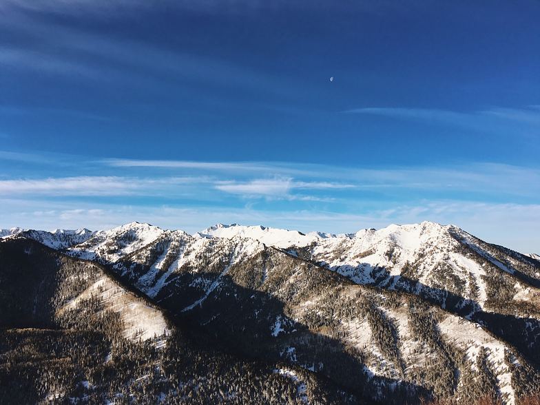


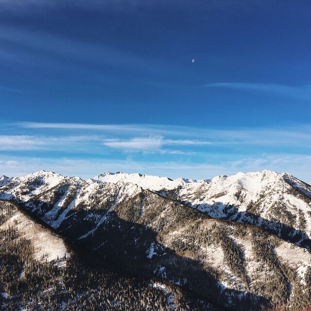
Portillo Storm Snowfall Total Passes 5m / 17 Feet
A snow storm that has now continued for nine days has taken Chilean ski resort Portillo to a snowfall total of 5.2 metres (17 feet) so far, with more snow forecast.

Next 3 days weather summary:Pioggia moderata (totale 13.0mm), più pesante Venerdì notte. Caldo (max 23°C Giovedì pomeriggio, min 13°C Sabato notte). Vento sarà generalmente leggero. | Giorni 4-6 Val d'Isere sommario meteoPioggia abbondante (totale 47.0mm), più pesante durante Lunedì notte. Caldo (max 22°C Domenica pomeriggio, min 12°C Martedì notte). Vento sarà generalmente leggero. | |||||||||||||||||
Giovedì 30 | Venerdì 31 | Sabato 1 | Domenica 2 | Lunedì 3 | Martedì 4 | |||||||||||||
AM | PM | notte | AM | PM | notte | AM | PM | notte | AM | PM | notte | AM | PM | notte | AM | PM | notte | |
limpido | limpido | rovesci pioggia | limpido | rischio temporale | rovesci pioggia | limpido | limpido | limpido | limpido | poche nuvole | rovesci pioggia | rovesci pioggia | pioggia moderata | rovesci pioggia | rischio temporale | rischio temporale | rovesci pioggia | |
km/h | ||||||||||||||||||
Mappa neve |  |  |  |  |  |  | ||||||||||||
— | — | — | — | — | — | — | — | — | — | — | — | — | — | — | — | — | — | |
mm | — | — | 1 | — | 3 | 9 | — | — | — | — | — | 3 | 3 | 6 | 18 | 4 | 9 | 4 |
max °C | 21 | 23 | 21 | 22 | 23 | 18 | 19 | 21 | 19 | 20 | 22 | 18 | 19 | 19 | 14 | 18 | 19 | 16 |
min °C | 16 | 23 | 15 | 18 | 22 | 14 | 16 | 21 | 13 | 17 | 22 | 15 | 16 | 19 | 13 | 15 | 18 | 12 |
chill °C | 16 | 23 | 15 | 18 | 22 | 14 | 16 | 21 | 13 | 17 | 22 | 15 | 16 | 19 | 13 | 15 | 18 | 12 |
Umido. % | 20 | 23 | 55 | 37 | 52 | 68 | 51 | 41 | 47 | 32 | 38 | 63 | 59 | 61 | 62 | 59 | 67 | 73 |
Zero termico m | 4600 | 4800 | 4750 | 4700 | 4750 | 4400 | 4450 | 4700 | 4550 | 4550 | 4800 | 4500 | 4500 | 4550 | 4450 | 4300 | 4350 | 4300 |
6:13 | — | — | 6:13 | — | — | 6:15 | — | — | 6:16 | — | — | 6:16 | — | — | 6:18 | — | — | |
— | — | 9:02 | — | — | 9:01 | — | — | 9:00 | — | — | 8:59 | — | — | 8:58 | — | — | 8:57 | |
Diventa pro e intaglia:
Informazioni valanghe: European Avalanche Warning Services (EAWS)
Gli ultimi report della neve vicino a Val d'Isere:
| La profondità maggiore della neve é: | — |
|---|---|
| La profondità minore della neve é: | — |
| Fresh snowfall depth: | — |
| Quando ha nevicato l'ultima volta? | 4 Jun 2026 |
0.0 | Giorni neve fresca Neve fresca, prevalentemente soleggiato, vento debole. |
|---|---|
0.0 | Giorni neve fresca Fresh snow, limited sun, any wind. |
0.0 | Giorni Bluebird Neve media, prevalentemente soleggiato, vento debole. |
La tabella sopra da le previsioni meteo per Val d'Isere a specifiche altezze 1850 m. I nostri sofisticati modelli meteo ci consentono di fornire previsioni neve per la vetta, l'area intermedia e a valle delle stazioni sciistiche di Val d'Isere. Per accedere alle previsioni meteo ad altre altezze, per spostarti usa tab sopra la tabella. Per una visione meteo piu' ampia , controlla la mappa meteo di France.
Clicca qui per leggere ulteriori informazioni sullo zero termico e il nostro sistema di prevedere le temperature.
Complessivamente 4.2 Basato su 74 voti e 65 recensioni
Been there now for several winters (mostly March but 2018 also in April). Love the place and area. Our favourite is; 08.5o the 1st lift on the Olympic to Bellevarde. Straight down to the Funival, up again and down the Face and back with the Olympic. Then down to the Toviere lift and so continuing to Tignes. Then start the up-and -down on the northern part:Tichot, Gratalui, Grand Huit and the Aiguille the Percee lift to the Aiguille de Percee( Eagleæ's eye). So down the Sache to Tignes les Brevieres and up again with the Boisses and MArais. Lunch on the nearest restaurant (around 11-11.3o). Down to Tignes 21oo up to Toviere and down again to take the Grand motte. You take the red down to Tignes and then the Fresse and down to Val. Up to La Solaise and over the mountain with the Laissiers and up to Col de Iseran on the lifts on the Glaciers of the Pisaillas. Then you end the day in Fornet around 16.3o. Beautiful. The restaurants? Try La casa scara, The Avancher; La vielle maison in La Daille and also 1789 in Val. Enjoy.
Jørgen da Norway scrive:
Been there now for several winters (mostly March but 2018 also in April). Love the place and area.
Our favourite is; 08.5o the 1st lift on the Olympic to Bellevarde. Straight down to the Funival, up again and down the Face and back with the Olympic. Then down to the Toviere lift and so continuing to Tignes. Then start the up-and -down on the northern part:Tichot, Gratalui, Grand Huit and the Aiguille the Percee lift to the Aiguille de Percee( Eagleæ's eye). So down the Sache to Tignes les Brevieres and up again with the Boisses and MArais. Lunch on the nearest restaurant (around 11-11.3o). Down to Tignes 21oo up to Toviere and down again to take the Grand motte. You take the red down to Tignes and then the Fresse and down to Val. Up to La Solaise and over the mountain with the Laissiers and up to Col de Iseran on the lifts on the Glaciers of the Pisaillas. Then you end the day in Fornet around 16.3o. Beautiful.
The restaurants? Try La casa scara, The Avancher; La vielle maison in La Daille and also 1789 in Val.
Enjoy.


 Nearest