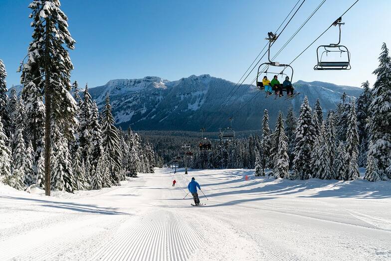


Portillo Re-Opens To Guests Arriving By Helicopter
Chile’s famous Portillo ski resort is reported to have re-opened to guests arriving by helicopter after being cut off by road for more than two weeks by over 6m/20 feet of snowfall.

Next 4 days weather summary:Per lo più asciutto. Caldo (max 21°C Mercoledì pomeriggio, min 7°C Domenica notte). Venti decrescenti (venti freschi dalla N Domenica notte, calma per Martedì pomeriggio). | Giorni 5-7 The Summit at Snoqualmie sommario meteoPer lo più asciutto. Caldo (max 21°C Mercoledì notte, min 12°C Venerdì notte). Vento sarà generalmente leggero. | |||||||||||||||
Lunedì 3 | Martedì 4 | Mercoledì 5 | Giovedì 6 | Venerdì 7 | ||||||||||||
notte | AM | PM | notte | AM | PM | notte | AM | PM | notte | AM | PM | notte | AM | PM | notte | |
limpido | limpido | limpido | limpido | limpido | limpido | limpido | limpido | limpido | limpido | limpido | limpido | limpido | limpido | limpido | limpido | |
km/h | ||||||||||||||||
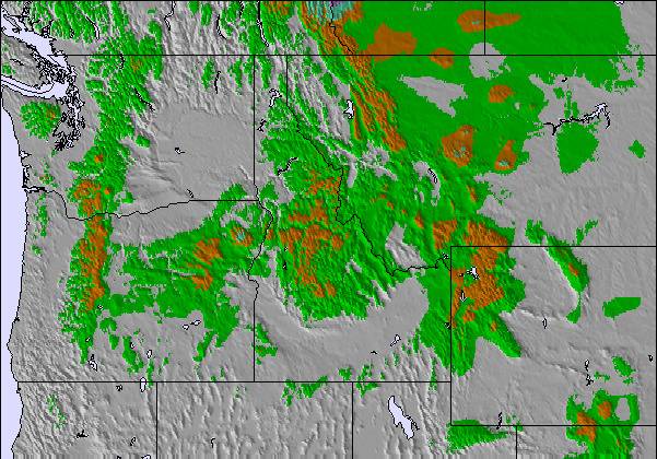
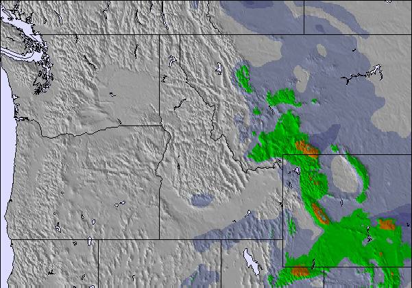
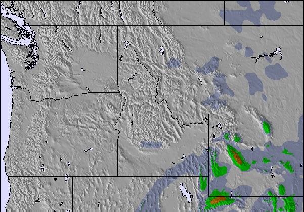
Mappa neve |  |  |  |  |  | 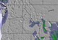 | ||||||||||
— | — | — | — | — | — | — | — | — | — | — | — | — | — | — | — | |
mm | — | — | — | — | — | — | — | — | — | — | — | — | — | — | — | — |
max °C | 8 | 13 | 15 | 16 | 18 | 20 | 19 | 20 | 21 | 21 | 19 | 21 | 20 | 16 | 17 | 16 |
min °C | 7 | 10 | 14 | 15 | 16 | 19 | 18 | 19 | 20 | 18 | 18 | 19 | 16 | 15 | 17 | 12 |
chill °C | 3 | 9 | 14 | 15 | 16 | 19 | 18 | 19 | 20 | 18 | 18 | 19 | 15 | 14 | 17 | 11 |
Umido. % | 64 | 36 | 34 | 37 | 28 | 30 | 21 | 18 | 24 | 34 | 28 | 28 | 31 | 40 | 48 | 51 |
Zero termico m | 3300 | 3650 | 3950 | 4100 | 4150 | 4400 | 4550 | 4650 | 4800 | 4800 | 4700 | 4800 | 4750 | 4400 | 4150 | 3950 |
— | 5:48 | — | — | 5:48 | — | — | 5:50 | — | — | 5:52 | — | — | 5:52 | — | — | |
— | — | — | 8:39 | — | — | 8:37 | — | — | 8:37 | — | — | 8:35 | — | — | 8:34 | |
Diventa pro e intaglia:
Informazioni valanghe: National Avalanche Center
Gli ultimi report della neve vicino a The Summit at Snoqualmie:
| La profondità maggiore della neve é: | — |
|---|---|
| La profondità minore della neve é: | — |
| Fresh snowfall depth: | — |
| Quando ha nevicato l'ultima volta? | 6 Jun 2026 |
0.0 | Giorni neve fresca Neve fresca, prevalentemente soleggiato, vento debole. |
|---|---|
0.0 | Giorni neve fresca Fresh snow, limited sun, any wind. |
0.0 | Giorni Bluebird Neve media, prevalentemente soleggiato, vento debole. |

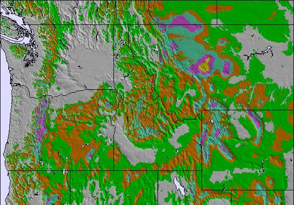
La tabella sopra da le previsioni meteo per The Summit at Snoqualmie a specifiche altezze 1311 m. I nostri sofisticati modelli meteo ci consentono di fornire previsioni neve per la vetta, l'area intermedia e a valle delle stazioni sciistiche di The Summit at Snoqualmie. Per accedere alle previsioni meteo ad altre altezze, per spostarti usa tab sopra la tabella. Per una visione meteo piu' ampia , controlla la mappa meteo di United States.
Clicca qui per leggere ulteriori informazioni sullo zero termico e il nostro sistema di prevedere le temperature.
Complessivamente 1.0 Basato su 1 vote e 5 recensioni
Warning: the map location and forecasts are not correct for this listing for The Summit at Snoqualmie. For some reason, this shows it on the south side of Cougar Mountain, nowhere near Snoqualmie Pass. The correct one is snow-forecast.com/resorts/Snoqualmie/6day/mid [note from the editor: the following text can be seen on the Resort Guide page: This is a duplicated entry. See Summit at Snoqualime pages.)
Cory da United States scrive:
Warning: the map location and forecasts are not correct for this listing for The Summit at Snoqualmie.
For some reason, this shows it on the south side of Cougar Mountain, nowhere near Snoqualmie Pass.
The correct one is snow-forecast.com/resorts/Snoqualmie/6day/mid
[note from the editor: the following text can be seen on the Resort Guide page: This is a duplicated entry. See Summit at Snoqualime pages.)
Leggi 4 più recensioni di The Summit at Snoqualmie o invia la tua

 Nearest