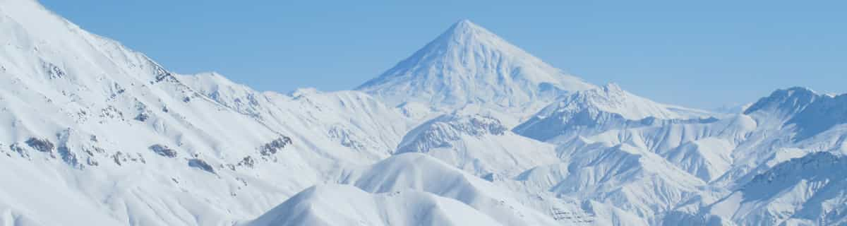


Portillo Storm Snowfall Total Passes 5m / 17 Feet
A snow storm that has now continued for nine days has taken Chilean ski resort Portillo to a snowfall total of 5.2 metres (17 feet) so far, with more snow forecast.

Next 3 days weather summary:Pioggia leggera (totale 7.0mm), per lo più che cade Mercoledì pomeriggio. Caldo (max 21°C Giovedì pomeriggio, min 12°C Venerdì notte). Venti decrescenti (venti freschi da NW Giovedì pomeriggio, calma per Venerdì notte). | Giorni 4-6 Snowy Range Ski and Recreation Area sommario meteoPer lo più asciutto. Caldo (max 26°C Lunedì pomeriggio, min 15°C Lunedì notte). Venti in aumento (calma Sabato mattina, forte vento da ONO per lunedì pomeriggio). | |||||||||||||||||
Mercoledì 29 | Giovedì 30 | Venerdì 31 | Sabato 1 | Domenica 2 | Lunedì 3 | |||||||||||||
AM | PM | notte | AM | PM | notte | AM | PM | notte | AM | PM | notte | AM | PM | notte | AM | PM | notte | |
poche nuvole | rovesci pioggia | rovesci pioggia | poche nuvole | rovesci pioggia | limpido | limpido | rovesci pioggia | rovesci pioggia | limpido | limpido | limpido | limpido | poche nuvole | limpido | poche nuvole | nuvol- oso | poche nuvole | |
km/h | ||||||||||||||||||
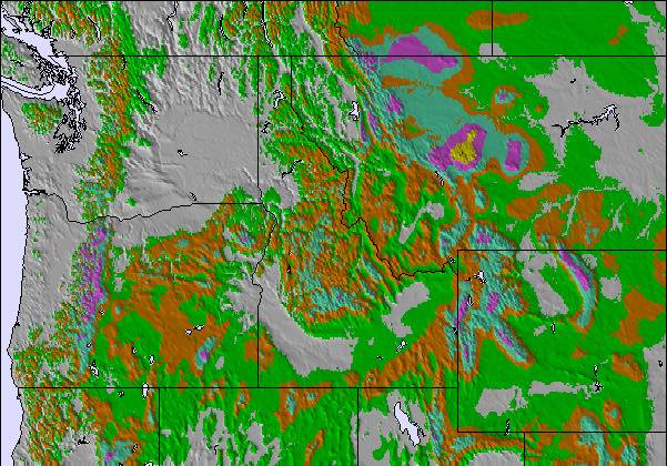
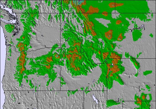
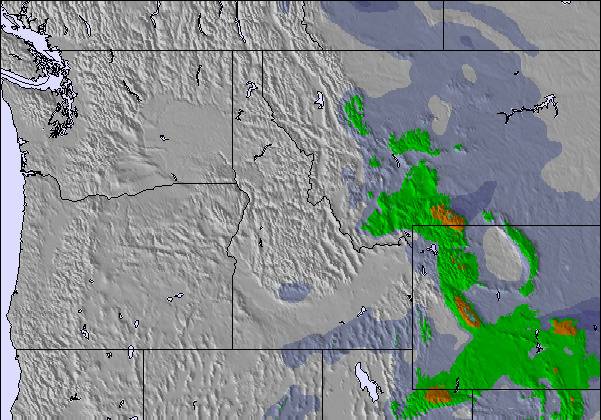
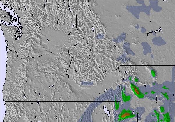
Mappa neve |  |  | 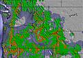 |  |  |  | ||||||||||||
— | — | — | — | — | — | — | — | — | — | — | — | — | — | — | — | — | — | |
mm | — | 2 | 1 | — | 1 | — | — | 1 | 2 | — | — | — | — | — | — | — | — | — |
max °C | 20 | 18 | 17 | 19 | 21 | 17 | 18 | 20 | 15 | 18 | 21 | 19 | 22 | 25 | 23 | 24 | 26 | 22 |
min °C | 18 | 17 | 15 | 16 | 20 | 15 | 16 | 16 | 12 | 16 | 21 | 18 | 20 | 25 | 22 | 23 | 25 | 15 |
chill °C | 18 | 16 | 13 | 14 | 20 | 14 | 16 | 15 | 10 | 16 | 21 | 18 | 20 | 25 | 22 | 23 | 25 | 15 |
Umido. % | 36 | 45 | 50 | 55 | 26 | 48 | 39 | 24 | 49 | 38 | 22 | 37 | 21 | 13 | 17 | 11 | 12 | 21 |
Zero termico m | 5450 | 5500 | 5500 | 5200 | 5450 | 5100 | 5150 | 5300 | 5000 | 5150 | 5550 | 5550 | 5650 | 5800 | 5600 | 5550 | 5700 | 5600 |
5:54 | — | — | 5:54 | — | — | 5:56 | — | — | 5:56 | — | — | 5:58 | — | — | 5:58 | — | — | |
— | 8:22 | — | — | 8:21 | — | — | 8:20 | — | — | 8:19 | — | — | 8:17 | — | — | 8:16 | — | |
Diventa pro e intaglia:
Informazioni valanghe: National Avalanche Center
Gli ultimi report della neve vicino a Snowy Range Ski and Recreation Area:
| La profondità maggiore della neve é: | — |
|---|---|
| La profondità minore della neve é: | — |
| Fresh snowfall depth: | — |
| Quando ha nevicato l'ultima volta? | 19 May 2026 |
0.0 | Giorni neve fresca Neve fresca, prevalentemente soleggiato, vento debole. |
|---|---|
0.0 | Giorni neve fresca Fresh snow, limited sun, any wind. |
0.0 | Giorni Bluebird Neve media, prevalentemente soleggiato, vento debole. |
La tabella sopra da le previsioni meteo per Snowy Range Ski and Recreation Area a specifiche altezze 2894 m. I nostri sofisticati modelli meteo ci consentono di fornire previsioni neve per la vetta, l'area intermedia e a valle delle stazioni sciistiche di Snowy Range Ski and Recreation Area. Per accedere alle previsioni meteo ad altre altezze, per spostarti usa tab sopra la tabella. Per una visione meteo piu' ampia , controlla la mappa meteo di United States.
Clicca qui per leggere ulteriori informazioni sullo zero termico e il nostro sistema di prevedere le temperature.
You best update that terrain park info... suppose to have some sick features this year 2012!
Joe da United States scrive:
You best update that terrain park info... suppose to have some sick features this year 2012!
Leggi 1 più recensioni di Snowy Range Ski and Recreation Area o invia la tua

 Nearest