Publicato da Snow-Forecast.com a:1 am (ora locale) / 17 Jul 2026
Ultimi 6 giorniScorri a sinistra per gli ultimi 6 giorniOra
Next 3 days weather summary:
Pioggia abbondante (totale 39.0mm), più pesante durante Sabato notte. Caldo (max 22°C Sabato pomeriggio, min 10°C Domenica notte). Vento sarà generalmente leggero.
Giorni 4-6 Ski Bromont sommario meteo
Pioggia abbondante (totale 26.0mm), più pesante durante Martedì notte. Caldo (max 21°C Lunedì pomeriggio, min 12°C Mercoledì notte). Venti in aumento (calma Lunedì mattina, venti freschi dalla S per Martedì notte).
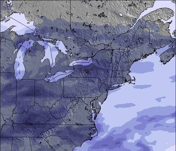
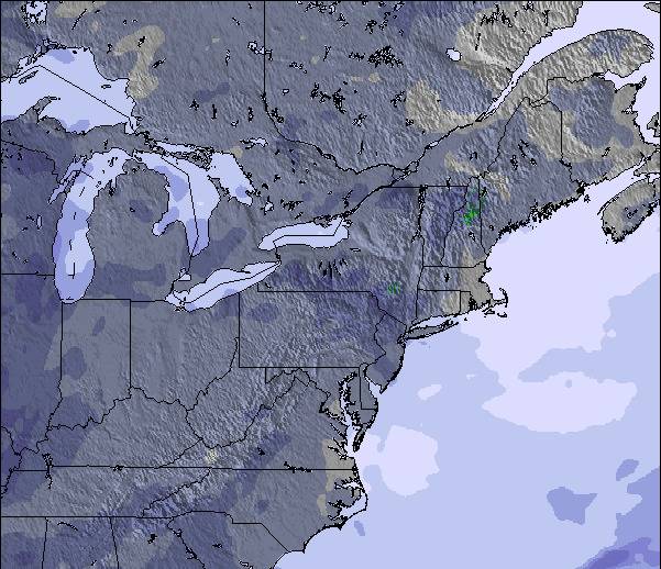
La tabella sopra da le previsioni meteo per Ski Bromont a specifiche altezze 370 m. I nostri sofisticati modelli meteo ci consentono di fornire previsioni neve per la vetta, l'area intermedia e a valle delle stazioni sciistiche di Ski Bromont. Per accedere alle previsioni meteo ad altre altezze, per spostarti usa tab sopra la tabella. Per una visione meteo piu' ampia , controlla la mappa meteo di Canada.
Clicca qui per leggere ulteriori informazioni sullo zero termico e il nostro sistema di prevedere le temperature.
Recensioni dei visitatori di Ski Bromont
Complessivamente 3.2 Basato su 9 voti e 3 recensioni
Great potential wasted.
Bromont is just 1hr driving from Montreal, on the south shore. There are plenty of varied slopes for all levels of skiers. The chalets (base and top) are recent or renovated, the slopes are groomed three times a day, the lifts are gradually replaced year after year and the snowmaking equipment is regularly updated (last generation fixed fans).
Unfortunately, they don't make enough snow with unfavourable seasons, opening only 50 to 60% of terrain, mostly boring tracks for beginners/intermediates. This combined with too many lift passes sold, and crazy real estate development in the last years. It's always crowded in the lines and annihilates the pleasure of skiing on the slopes with crazy skiers coming from everywhere. Not to mention the prices through the roof now.
In addition, there's a lot of lift failures for no reason increasing the frustration.
Bromont used to be a great place. Hoping they wake up soon to focus on why people come in the first place. Skiing and have fun.
Complessivamente: 3.2 Basato su 9 voti e 3 recensioni
Snowsure
3.6
Varietà di piste
3.1
Fuoripista
1.8
Paesaggio
3.3
Apres-Ski
3.2
Greg da Canada scrive:
Great potential wasted.
Bromont is just 1hr driving from Montreal, on the south shore. There are plenty of varied slopes for all levels of skiers. The chalets (base and top) are recent or renovated, the slopes are groomed three times a day, the lifts are gradually replaced year after year and the snowmaking equipment is regularly updated (last generation fixed fans).
Unfortunately, they don't make enough snow with unfavourable seasons, opening only 50 to 60% of terrain, mostly boring tracks for beginners/intermediates. This combined with too many lift passes sold, and crazy real estate development in the last years. It's always crowded in the lines and annihilates the pleasure of skiing on the slopes with crazy skiers coming from everywhere. Not to mention the prices through the roof now.
In addition, there's a lot of lift failures for no reason increasing the frustration.
Bromont used to be a great place. Hoping they wake up soon to focus on why people come in the first place. Skiing and have fun.
Gratis Snow-Forecast.com weather widget per il tho sito
Il Ski Bromont widget meteo qui sotto è disponibile per essere incorporato su siti Web esterni a titolo gratuito. Esso fornisce un riepilogo giornaliero delle nostre Ski Bromont previsioni meteo neve e dati meteo. Basta andare alla pagina di configurazione e seguire 3 semplici passi per prendere il codice html personalizzato ed incollarlo nel tuo sito. È possibile scegliere l'elevazione di previsione di neve (vetta, metà o piede della montagna) e l'unità metrica/imperiale per le previsioni meteo neve adeguata al proprio sito Web Clicca qui per ottenere il codice


 Nearest