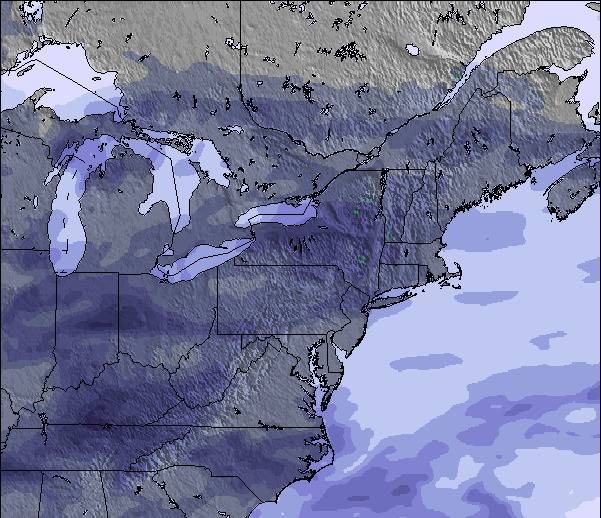
La tabella sopra da le previsioni meteo per Ski Bromont a specifiche altezze 168 m. I nostri sofisticati modelli meteo ci consentono di fornire previsioni neve per la vetta, l'area intermedia e a valle delle stazioni sciistiche di Ski Bromont. Per accedere alle previsioni meteo ad altre altezze, per spostarti usa tab sopra la tabella. Per una visione meteo piu' ampia , controlla la mappa meteo di Canada.
Clicca qui per leggere ulteriori informazioni sullo zero termico e il nostro sistema di prevedere le temperature.
Recensioni dei visitatori di Ski Bromont
Complessivamente 3.2 Basato su 9 voti e 3 recensioni
The resort stands on 3 hilltops with 6 main hill sides and a 'bunny' hill for beginners. Perfect place to learn skiing / boarding as most of the resort is on groomed, gentle terrain. Much cheaper than Tremblant and much bigger than St-Sauveur (why do they even call that a mountain?) They have some of the best snowmaking and grooming equipment in Quebec making them shine when conditions are bulletproof all around. They groom most runs twice during the day which is good when there is no snow. But when it does snow, it mixes the good snow with the base and packs it. Plus, be sure the masses will be there to ski it. You'd find it hard to see anything of a 20+cm dump 2 days after it has fallen; this is no joke. I've seen the whole mountain getting tracked in less than three hours on busy powder days. The hill gets a lot of wind and cold which can occasionally shut down lifts and render powder conditions into bulletproof wind crust overnight but that's what east coast skiing is all about.
Complessivamente: 3.2 Basato su 9 voti e 3 recensioni
Snowsure
3.6
Varietà di piste
3.1
Fuoripista
1.8
Paesaggio
3.3
Apres-Ski
3.2
bromdawgger da Canada scrive:
The resort stands on 3 hilltops with 6 main hill sides and a 'bunny' hill for beginners. Perfect place to learn skiing / boarding as most of the resort is on groomed, gentle terrain. Much cheaper than Tremblant and much bigger than St-Sauveur (why do they even call that a mountain?) They have some of the best snowmaking and grooming equipment in Quebec making them shine when conditions are bulletproof all around. They groom most runs twice during the day which is good when there is no snow. But when it does snow, it mixes the good snow with the base and packs it. Plus, be sure the masses will be there to ski it. You'd find it hard to see anything of a 20+cm dump 2 days after it has fallen; this is no joke. I've seen the whole mountain getting tracked in less than three hours on busy powder days. The hill gets a lot of wind and cold which can occasionally shut down lifts and render powder conditions into bulletproof wind crust overnight but that's what east coast skiing is all about.
Gratis Snow-Forecast.com weather widget per il tho sito
Il Ski Bromont widget meteo qui sotto è disponibile per essere incorporato su siti Web esterni a titolo gratuito. Esso fornisce un riepilogo giornaliero delle nostre Ski Bromont previsioni meteo neve e dati meteo. Basta andare alla pagina di configurazione e seguire 3 semplici passi per prendere il codice html personalizzato ed incollarlo nel tuo sito. È possibile scegliere l'elevazione di previsione di neve (vetta, metà o piede della montagna) e l'unità metrica/imperiale per le previsioni meteo neve adeguata al proprio sito Web Clicca qui per ottenere il codice


 Nearest