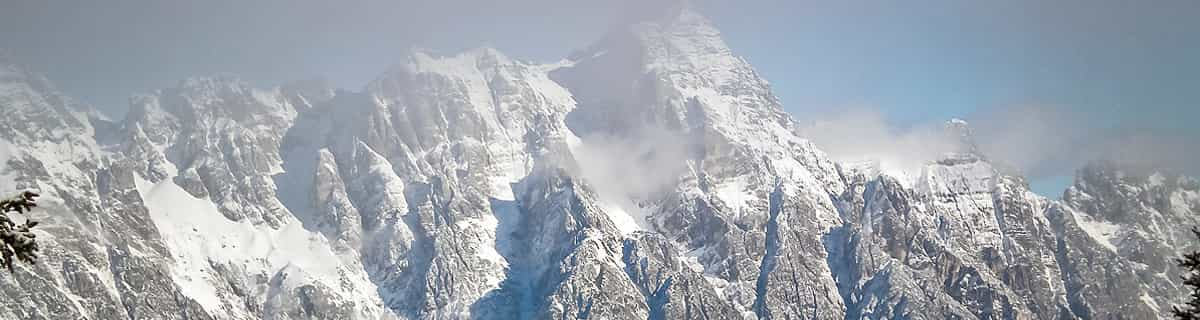


Portillo Storm Snowfall Total Passes 5m / 17 Feet
A snow storm that has now continued for nine days has taken Chilean ski resort Portillo to a snowfall total of 5.2 metres (17 feet) so far, with more snow forecast.

Next 3 days weather summary:Pioggia leggera (totale 2.0mm), per lo più che cade Giovedì notte. Caldo (max 28°C Giovedì pomeriggio, min 16°C Martedì mattina). Vento sarà generalmente leggero. | Giorni 4-6 Savagnières - Bugnenets sommario meteoPioggia abbondante (totale 21.0mm), più pesante durante Sabato notte. Caldo (max 26°C Venerdì pomeriggio, min 19°C Sabato notte). Venti decrescenti (forte vento da SW Venerdì pomeriggio, calma per Sabato pomeriggio). | |||||||||||||||||
Martedì 28 | Mercoledì 29 | Giovedì 30 | Venerdì 31 | Sabato 1 | Domenica 2 | |||||||||||||
AM | PM | notte | AM | PM | notte | AM | PM | notte | AM | PM | notte | AM | PM | notte | AM | PM | notte | |
limpido | limpido | limpido | limpido | limpido | limpido | limpido | poche nuvole | rovesci pioggia | poche nuvole | rischio temporale | rovesci pioggia | rischio temporale | rischio temporale | rovesci pioggia | limpido | rovesci pioggia | rovesci pioggia | |
km/h | ||||||||||||||||||
Mappa neve |  |  |  |  |  |  | ||||||||||||
— | — | — | — | — | — | — | — | — | — | — | — | — | — | — | — | — | — | |
mm | — | — | — | — | — | — | — | — | 2 | — | 1 | 1 | 1 | 2 | 11 | — | 1 | 4 |
max °C | 17 | 23 | 22 | 22 | 26 | 25 | 26 | 28 | 26 | 23 | 26 | 23 | 22 | 24 | 21 | 22 | 26 | 25 |
min °C | 16 | 20 | 21 | 21 | 25 | 24 | 25 | 27 | 22 | 22 | 23 | 21 | 20 | 22 | 19 | 21 | 25 | 21 |
chill °C | 16 | 20 | 21 | 21 | 25 | 24 | 25 | 27 | 22 | 22 | 23 | 21 | 20 | 22 | 19 | 21 | 25 | 21 |
Umido. % | 52 | 37 | 48 | 45 | 26 | 25 | 21 | 27 | 42 | 44 | 41 | 51 | 52 | 51 | 50 | 41 | 36 | 53 |
Zero termico m | 4650 | 4650 | 4400 | 4350 | 4400 | 4550 | 4600 | 4550 | 4600 | 4450 | 4550 | 4550 | 4350 | 4400 | 4400 | 4450 | 4550 | 4450 |
6:05 | — | — | 6:05 | — | — | 6:07 | — | — | 6:07 | — | — | 6:09 | — | — | 6:11 | — | — | |
— | — | 9:09 | — | — | 9:08 | — | — | 9:07 | — | — | 9:06 | — | — | 9:05 | — | — | 9:04 | |
Diventa pro e intaglia:
Informazioni valanghe: European Avalanche Warning Services (EAWS)
Gli ultimi report della neve vicino a Savagnières - Bugnenets:
| La profondità maggiore della neve é: | 0 cm |
|---|---|
| La profondità minore della neve é: | 0 cm |
| Fresh snowfall depth: | — |
| Quando ha nevicato l'ultima volta? | 16 May 2026 |
0.0 | Giorni neve fresca Neve fresca, prevalentemente soleggiato, vento debole. |
|---|---|
0.0 | Giorni neve fresca Fresh snow, limited sun, any wind. |
0.0 | Giorni Bluebird Neve media, prevalentemente soleggiato, vento debole. |
La tabella sopra da le previsioni meteo per Savagnières - Bugnenets a specifiche altezze 1274 m. I nostri sofisticati modelli meteo ci consentono di fornire previsioni neve per la vetta, l'area intermedia e a valle delle stazioni sciistiche di Savagnières - Bugnenets. Per accedere alle previsioni meteo ad altre altezze, per spostarti usa tab sopra la tabella. Per una visione meteo piu' ampia , controlla la mappa meteo di Switzerland.
Clicca qui per leggere ulteriori informazioni sullo zero termico e il nostro sistema di prevedere le temperature.
Il nome della localita' è scritto anche come Savagnieres - Bugnenets.
Savagnières - Bugnenets is a great little ski region with easy and more difficult slopes. Don't expect a large alpine ski resort though. That said, the ski lessons for the kids are excellent and much better than any we've had experience with so far in the Alps. The groups are smaller and we found the teachers to be more focussed. Even for the very small ones (3 years old) the activities were excellent. If you live close in the area (i.e. Neuchatel/Bern) then Savagnières - Bugnenets is a very good place to go skiing, even if you're a good skier the region has some nice steep slopes you can really attack.
Niels da Switzerland scrive:
Savagnières - Bugnenets is a great little ski region with easy and more difficult slopes. Don't expect a large alpine ski resort though.
That said, the ski lessons for the kids are excellent and much better than any we've had experience with so far in the Alps. The groups are smaller and we found the teachers to be more focussed. Even for the very small ones (3 years old) the activities were excellent.
If you live close in the area (i.e. Neuchatel/Bern) then Savagnières - Bugnenets is a very good place to go skiing, even if you're a good skier the region has some nice steep slopes you can really attack.
Leggi 1 più recensioni di Savagnières - Bugnenets o invia la tua


 Nearest