Publicato da Snow-Forecast.com a:7 pm (ora locale) / 01 Aug 2026
Ultimi 6 giorniScorri a sinistra per gli ultimi 6 giorniOra
Next 4 days weather summary:
Pioggia moderata (totale 11.0mm), più pesante Martedì pomeriggio. Caldo (max 21°C Domenica pomeriggio, min 14°C Sabato notte). Vento sarà generalmente leggero.
Giorni 5-7 Saint François Longchamp sommario meteo
Pioggia abbondante (totale 26.0mm), più pesante durante Giovedì notte. Temperature moderate (max 19°C Mercoledì pomeriggio, min 12°C Giovedì notte). Vento sarà generalmente leggero.
La tabella sopra da le previsioni meteo per Saint François Longchamp a specifiche altezze 2100 m. I nostri sofisticati modelli meteo ci consentono di fornire previsioni neve per la vetta, l'area intermedia e a valle delle stazioni sciistiche di Saint François Longchamp. Per accedere alle previsioni meteo ad altre altezze, per spostarti usa tab sopra la tabella. Per una visione meteo piu' ampia , controlla la mappa meteo di France.
Clicca qui per leggere ulteriori informazioni sullo zero termico e il nostro sistema di prevedere le temperature.
Il nome della localita' è scritto anche come Saint Francois Longchamp.
Recensioni dei visitatori di Saint François Longchamp
Complessivamente 4.4 Basato su 7 voti e 5 recensioni
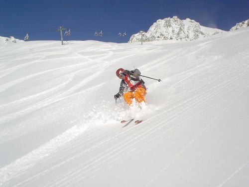
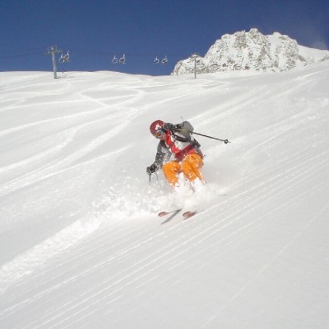
Very lovely little ski resort. Accommodation right on the slopes so ski in/ski out possible. Good upgrades to lift system help to speed skiers to the best snow, usually in better condition than Valmorel which is busier and more expensive than here. Still has button drag lifts; very useful when it is very windy. Great pisted runs for all levels of skier, unusually powder does not get skied out on the very first day after snow. The snow conditions this January were superb, mogul fields absent largely (a pity!). Will visit again soon. The people were extremely welcoming.
Recensioni dei visitatori di Saint François Longchamp
Complessivamente: 4.4 Basato su 7 voti e 5 recensioni
Snowsure
4.1
Varietà di piste
4.7
Fuoripista
4.0
Paesaggio
4.6
Apres-Ski
4.1
Cjris Trace da United Kingdom scrive:
Very lovely little ski resort. Accommodation right on the slopes so ski in/ski out possible. Good upgrades to lift system help to speed skiers to the best snow, usually in better condition than Valmorel which is busier and more expensive than here. Still has button drag lifts; very useful when it is very windy. Great pisted runs for all levels of skier, unusually powder does not get skied out on the very first day after snow. The snow conditions this January were superb, mogul fields absent largely (a pity!). Will visit again soon. The people were extremely welcoming.
Gratis Snow-Forecast.com weather widget per il tho sito
Il Saint François Longchamp widget meteo qui sotto è disponibile per essere incorporato su siti Web esterni a titolo gratuito. Esso fornisce un riepilogo giornaliero delle nostre Saint François Longchamp previsioni meteo neve e dati meteo. Basta andare alla pagina di configurazione e seguire 3 semplici passi per prendere il codice html personalizzato ed incollarlo nel tuo sito. È possibile scegliere l'elevazione di previsione di neve (vetta, metà o piede della montagna) e l'unità metrica/imperiale per le previsioni meteo neve adeguata al proprio sito Web Clicca qui per ottenere il codice


 Nearest