La tabella sopra da le previsioni meteo per Radstadt/Altenmarkt a specifiche altezze 1700 m. I nostri sofisticati modelli meteo ci consentono di fornire previsioni neve per la vetta, l'area intermedia e a valle delle stazioni sciistiche di Radstadt/Altenmarkt. Per accedere alle previsioni meteo ad altre altezze, per spostarti usa tab sopra la tabella. Per una visione meteo piu' ampia , controlla la mappa meteo di Austria.
Clicca qui per leggere ulteriori informazioni sullo zero termico e il nostro sistema di prevedere le temperature.
Recensioni dei visitatori di Radstadt/Altenmarkt
Complessivamente 4.2 Basato su 14 voti e 2 recensioni
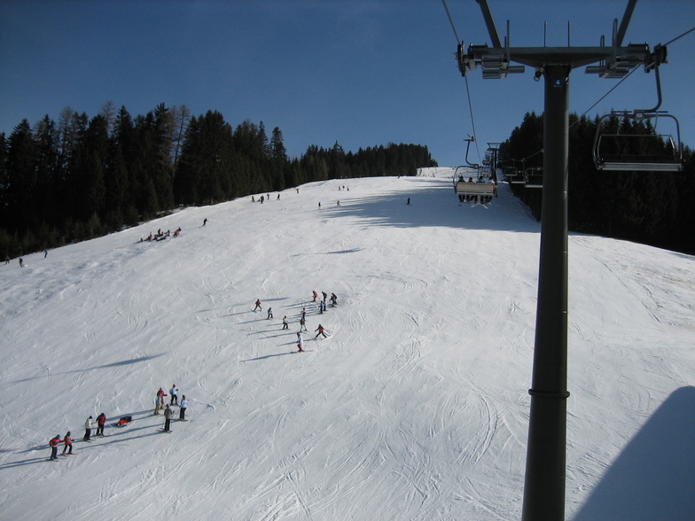
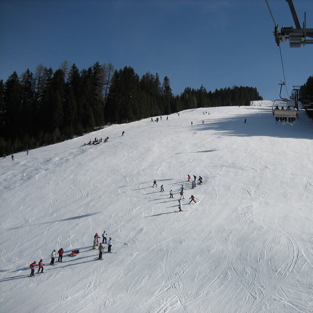
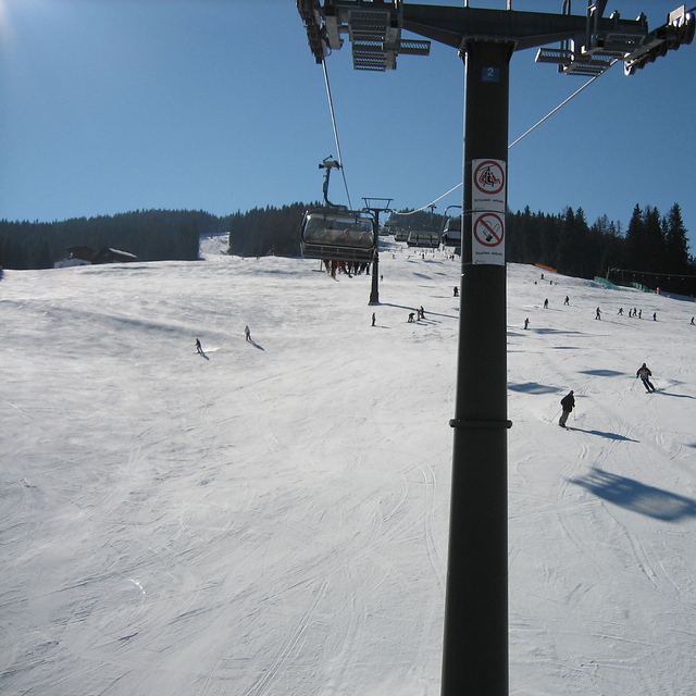
Radstadt is a small town with a few hotels, bars and restaurants, just over an hour from Salzburg. The ski area is fairly small, about 30kms of runs and 5 lifts. The runs are nice, tree lined and mostly red or blue. There is a fast gondola from the village and the other lifts are all quad chairs, fast and efficient. The lift pass covers the whole Salzburgerland ski area, so places like Flachau, Schladming, Zauchenzee, Filzmoos and Obertauern are included. So if you fancy a change just get the bus to the other local resorts, most are within 30min bus ride. A good tip is to get the gondola up, ski down the Altenmarkt side of the mountain and get the ski bus from there 15 minutes down the valley to the higher Zauchensee area which has guaranteed snow and about 20 lifts and links to Kleinarl. Although Radstadt ski area is low (900 - 1700m) it is mostly north facing so can survive warm weather. When I was there is was 18 degrees in mid March but most runs were still open and you could ski to the bottom despite the warmest and most snow-less winter for decades (2006-07). Would recommend Radstadt for good links, cheap accommodation and for families. If you want to party then go to Flachau or Schladming.
Complessivamente: 4.2 Basato su 14 voti e 2 recensioni
Snowsure
4.0
Varietà di piste
3.9
Fuoripista
2.2
Paesaggio
4.8
Apres-Ski
3.2
David Hosking da United Kingdom scrive:
Radstadt is a small town with a few hotels, bars and restaurants, just over an hour from Salzburg. The ski area is fairly small, about 30kms of runs and 5 lifts. The runs are nice, tree lined and mostly red or blue. There is a fast gondola from the village and the other lifts are all quad chairs, fast and efficient. The lift pass covers the whole Salzburgerland ski area, so places like Flachau, Schladming, Zauchenzee, Filzmoos and Obertauern are included. So if you fancy a change just get the bus to the other local resorts, most are within 30min bus ride. A good tip is to get the gondola up, ski down the Altenmarkt side of the mountain and get the ski bus from there 15 minutes down the valley to the higher Zauchensee area which has guaranteed snow and about 20 lifts and links to Kleinarl. Although Radstadt ski area is low (900 - 1700m) it is mostly north facing so can survive warm weather. When I was there is was 18 degrees in mid March but most runs were still open and you could ski to the bottom despite the warmest and most snow-less winter for decades (2006-07). Would recommend Radstadt for good links, cheap accommodation and for families. If you want to party then go to Flachau or Schladming.
Gratis Snow-Forecast.com weather widget per il tho sito
Il Radstadt/Altenmarkt widget meteo qui sotto è disponibile per essere incorporato su siti Web esterni a titolo gratuito. Esso fornisce un riepilogo giornaliero delle nostre Radstadt/Altenmarkt previsioni meteo neve e dati meteo. Basta andare alla pagina di configurazione e seguire 3 semplici passi per prendere il codice html personalizzato ed incollarlo nel tuo sito. È possibile scegliere l'elevazione di previsione di neve (vetta, metà o piede della montagna) e l'unità metrica/imperiale per le previsioni meteo neve adeguata al proprio sito Web Clicca qui per ottenere il codice


 Nearest