La tabella sopra da le previsioni meteo per Oetz a specifiche altezze 2020 m. I nostri sofisticati modelli meteo ci consentono di fornire previsioni neve per la vetta, l'area intermedia e a valle delle stazioni sciistiche di Oetz. Per accedere alle previsioni meteo ad altre altezze, per spostarti usa tab sopra la tabella. Per una visione meteo piu' ampia , controlla la mappa meteo di Austria.
Clicca qui per leggere ulteriori informazioni sullo zero termico e il nostro sistema di prevedere le temperature.
Recensioni dei visitatori di Oetz
Complessivamente 4.4 Basato su 15 voti e 1 recensione
Skied Hoch Oetz for a day earlier this week.
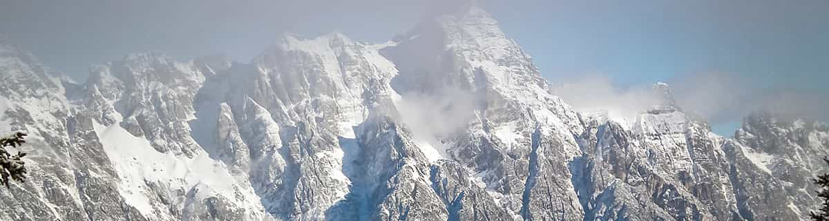
In short a compact, mostly north facing family ski area situated between 1500-2270m with quick access by gondalbahn from Oetz.
Good variety of well groomed quiet pistes and efficient lift system, bar two older style chair lifts. For ultra keen diehards some of the runs could do with being longer but all in all, a great little place to ski. Stunning views, lovely mountain huts and no Brits so you really feel abroad.
Subsistence on mountain much cheaper than nearby big resorts with no compromise on quality.
Other pluses are it's less than 10 minutes off the A12 Inntlal autobahn and for those who want to ski different resorts every day Oetz is only 25 mins to Soelden and 35/40 mins to Obergurgl, St Anton, Ischgl and Kuhtai. Oetz also shares a lift pass with Kuhtai which is 20 mins away.
Oetz itsef is a lovely little town with good quality hotels and guest houses that are considerably cheaper than the aforementioned big resorts.
All in all, highly recommended and a classic case of less is more.
Complessivamente: 4.4 Basato su 15 voti e 1 recensione
Snowsure
4.9
Varietà di piste
4.2
Fuoripista
3.6
Paesaggio
4.8
Apres-Ski
3.1
Tirolerhund da United Kingdom scrive:
Skied Hoch Oetz for a day earlier this week.
In short a compact, mostly north facing family ski area situated between 1500-2270m with quick access by gondalbahn from Oetz.
Good variety of well groomed quiet pistes and efficient lift system, bar two older style chair lifts. For ultra keen diehards some of the runs could do with being longer but all in all, a great little place to ski. Stunning views, lovely mountain huts and no Brits so you really feel abroad.
Subsistence on mountain much cheaper than nearby big resorts with no compromise on quality.
Other pluses are it's less than 10 minutes off the A12 Inntlal autobahn and for those who want to ski different resorts every day Oetz is only 25 mins to Soelden and 35/40 mins to Obergurgl, St Anton, Ischgl and Kuhtai. Oetz also shares a lift pass with Kuhtai which is 20 mins away.
Oetz itsef is a lovely little town with good quality hotels and guest houses that are considerably cheaper than the aforementioned big resorts.
All in all, highly recommended and a classic case of less is more.
Gratis Snow-Forecast.com weather widget per il tho sito
Il Oetz widget meteo qui sotto è disponibile per essere incorporato su siti Web esterni a titolo gratuito. Esso fornisce un riepilogo giornaliero delle nostre Oetz previsioni meteo neve e dati meteo. Basta andare alla pagina di configurazione e seguire 3 semplici passi per prendere il codice html personalizzato ed incollarlo nel tuo sito. È possibile scegliere l'elevazione di previsione di neve (vetta, metà o piede della montagna) e l'unità metrica/imperiale per le previsioni meteo neve adeguata al proprio sito Web Clicca qui per ottenere il codice


 Nearest