Publicato da Snow-Forecast.com a:1 am (ora locale) / 03 Aug 2026
Ultimi 6 giorniScorri a sinistra per gli ultimi 6 giorniOra
Next 3 days weather summary:
Pioggia abbondante (totale 22.0mm), più pesante durante Giovedì pomeriggio. Temperature moderate (max 10°C Lunedì pomeriggio, min 6°C Martedì notte). Vento sarà generalmente leggero.
Giorni 4-6 Montchavin sommario meteo
Pioggia moderata (totale 13.0mm), più pesante Giovedì pomeriggio. Temperature moderate (max 8°C Giovedì mattina, min 6°C Giovedì notte). Vento sarà generalmente leggero.
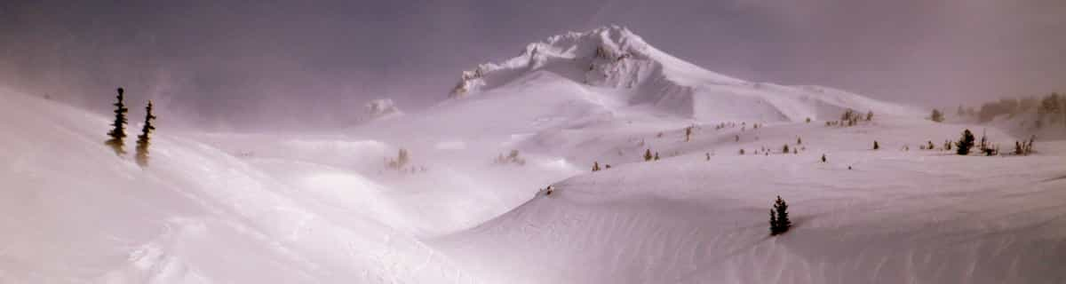
La tabella sopra da le previsioni meteo per Montchavin a specifiche altezze 3250 m. I nostri sofisticati modelli meteo ci consentono di fornire previsioni neve per la vetta, l'area intermedia e a valle delle stazioni sciistiche di Montchavin. Per accedere alle previsioni meteo ad altre altezze, per spostarti usa tab sopra la tabella. Per una visione meteo piu' ampia , controlla la mappa meteo di France.
Clicca qui per leggere ulteriori informazioni sullo zero termico e il nostro sistema di prevedere le temperature.
Recensioni dei visitatori di Montchavin
Complessivamente 4.5 Basato su 8 voti e 8 recensioni
We have been to Les Coches on regular ski holidays and found the whole experience fantastic. Skiaffinity offer a great solution to missing the usual gridlock on "transfer Saturday", they offer a Sunday to Sunday package so not only the roads are quieter on a Sunday, we also get to ski on Saturday with only the locals on the slopes. Skiaffinity offer a luxury fully catered chalet within metres of the ski lift and with Laurie and Jess as chalet hosts delivering exceptional fully catered 5 star service. Great village atmosphere, check out "White Lines" après bar also. It was so good at new year we are all heading back next month.
Complessivamente: 4.5 Basato su 8 voti e 8 recensioni
Snowsure
4.4
Varietà di piste
4.9
Fuoripista
4.4
Paesaggio
4.7
Apres-Ski
4.0
John M da United Kingdom scrive:
We have been to Les Coches on regular ski holidays and found the whole experience fantastic. Skiaffinity offer a great solution to missing the usual gridlock on "transfer Saturday", they offer a Sunday to Sunday package so not only the roads are quieter on a Sunday, we also get to ski on Saturday with only the locals on the slopes. Skiaffinity offer a luxury fully catered chalet within metres of the ski lift and with Laurie and Jess as chalet hosts delivering exceptional fully catered 5 star service. Great village atmosphere, check out "White Lines" après bar also. It was so good at new year we are all heading back next month.
Gratis Snow-Forecast.com weather widget per il tho sito
Il Montchavin widget meteo qui sotto è disponibile per essere incorporato su siti Web esterni a titolo gratuito. Esso fornisce un riepilogo giornaliero delle nostre Montchavin previsioni meteo neve e dati meteo. Basta andare alla pagina di configurazione e seguire 3 semplici passi per prendere il codice html personalizzato ed incollarlo nel tuo sito. È possibile scegliere l'elevazione di previsione di neve (vetta, metà o piede della montagna) e l'unità metrica/imperiale per le previsioni meteo neve adeguata al proprio sito Web Clicca qui per ottenere il codice


 Nearest