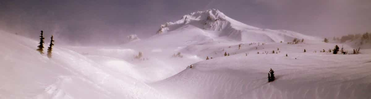


Portillo Re-Opens To Guests Arriving By Helicopter
Chile’s famous Portillo ski resort is reported to have re-opened to guests arriving by helicopter after being cut off by road for more than two weeks by over 6m/20 feet of snowfall.

Next 3 days weather summary:Pioggia abbondante (totale 23.0mm), più pesante durante Giovedì pomeriggio. Caldo (max 27°C Lunedì pomeriggio, min 15°C Martedì notte). Vento sarà generalmente leggero. | Giorni 4-6 Montchavin sommario meteoPioggia moderata (totale 13.0mm), più pesante Giovedì pomeriggio. Caldo (max 24°C Giovedì mattina, min 13°C Giovedì notte). Vento sarà generalmente leggero. | |||||||||||||||||
Lunedì 3 | Martedì 4 | Mercoledì 5 | Giovedì 6 | Venerdì 7 | Sabato 8 | |||||||||||||
AM | PM | notte | AM | PM | notte | AM | PM | notte | AM | PM | notte | AM | PM | notte | AM | PM | notte | |
limpido | rischio temporale | rovesci pioggia | rischio temporale | rischio temporale | rovesci pioggia | limpido | rischio temporale | rovesci pioggia | poche nuvole | pioggia moderata | rovesci pioggia | limpido | rischio temporale | poche nuvole | limpido | limpido | limpido | |
km/h | ||||||||||||||||||
Mappa neve |  |  |  |  |  |  | ||||||||||||
— | — | — | — | — | — | — | — | — | — | — | — | — | — | — | — | — | — | |
mm | — | 1 | 3 | 1 | 5 | 8 | — | 3 | 2 | — | 7 | 5 | — | 1 | — | — | — | — |
max °C | 26 | 27 | 22 | 25 | 24 | 18 | 23 | 25 | 21 | 24 | 23 | 17 | 19 | 22 | 18 | 21 | 24 | 20 |
min °C | 20 | 22 | 16 | 18 | 23 | 15 | 19 | 24 | 16 | 19 | 19 | 13 | 15 | 22 | 14 | 16 | 24 | 16 |
chill °C | 20 | 22 | 16 | 18 | 23 | 15 | 19 | 24 | 16 | 19 | 19 | 13 | 15 | 22 | 14 | 16 | 24 | 16 |
Umido. % | 41 | 59 | 71 | 44 | 56 | 80 | 51 | 49 | 72 | 44 | 82 | 92 | 72 | 66 | 80 | 62 | 38 | 52 |
Zero termico m | 4550 | 4600 | 4500 | 4450 | 4450 | 4450 | 4350 | 4500 | 4450 | 4400 | 4400 | 4250 | 4300 | 4300 | 4400 | 4350 | 4350 | 4400 |
6:18 | — | — | 6:18 | — | — | 6:20 | — | — | 6:20 | — | — | 6:22 | — | — | 6:24 | — | — | |
— | — | 8:59 | — | — | 8:58 | — | — | 8:55 | — | — | 8:54 | — | — | 8:52 | — | — | 8:52 | |
Diventa pro e intaglia:
Informazioni valanghe: European Avalanche Warning Services (EAWS)
Gli ultimi report della neve vicino a Montchavin:
| La profondità maggiore della neve é: | — |
|---|---|
| La profondità minore della neve é: | — |
| Fresh snowfall depth: | — |
| Quando ha nevicato l'ultima volta? | 4 Jun 2026 |
0.0 | Giorni neve fresca Neve fresca, prevalentemente soleggiato, vento debole. |
|---|---|
0.0 | Giorni neve fresca Fresh snow, limited sun, any wind. |
0.0 | Giorni Bluebird Neve media, prevalentemente soleggiato, vento debole. |
La tabella sopra da le previsioni meteo per Montchavin a specifiche altezze 1250 m. I nostri sofisticati modelli meteo ci consentono di fornire previsioni neve per la vetta, l'area intermedia e a valle delle stazioni sciistiche di Montchavin. Per accedere alle previsioni meteo ad altre altezze, per spostarti usa tab sopra la tabella. Per una visione meteo piu' ampia , controlla la mappa meteo di France.
Clicca qui per leggere ulteriori informazioni sullo zero termico e il nostro sistema di prevedere le temperature.
Complessivamente 4.5 Basato su 8 voti e 8 recensioni
We have been going to Les Coches (Montchavin/Les Coches) for years and bought a place out there 5 years ago. It's a great family resort: just 2 real bars for apres-ski and all shops, bars and restaurants are situated around the main square. Little ones can run around out there whilst mum and dad relax with a beer. On the down side my son is currently out there and reports hard packed snow with rocks beginning to show through. It's in desperate need of a huge dump of the white fluffy stuff. I have to say this is the first time in 10 years that it's been like this, so keep watching the forecast and if it snows get out there. If you have little ones this is the place for you. That's not to say it's dead; my teenage sons still manage to get into trouble.
Ian C da United Kingdom scrive:
We have been going to Les Coches (Montchavin/Les Coches) for years and bought a place out there 5 years ago. It's a great family resort: just 2 real bars for apres-ski and all shops, bars and restaurants are situated around the main square. Little ones can run around out there whilst mum and dad relax with a beer. On the down side my son is currently out there and reports hard packed snow with rocks beginning to show through. It's in desperate need of a huge dump of the white fluffy stuff. I have to say this is the first time in 10 years that it's been like this, so keep watching the forecast and if it snows get out there. If you have little ones this is the place for you. That's not to say it's dead; my teenage sons still manage to get into trouble.


 Nearest