

Portillo Storm Snowfall Total Passes 5m / 17 Feet
A snow storm that has now continued for nine days has taken Chilean ski resort Portillo to a snowfall total of 5.2 metres (17 feet) so far, with more snow forecast.

Next 3 days weather summary:Pioggia leggera (totale 9.0mm), per lo più che cade Lunedì notte. Caldo (max 25°C Martedì pomeriggio, min 16°C Domenica notte). Vento sarà generalmente leggero. | Giorni 4-6 Mont Orford sommario meteoPioggia moderata (totale 14.0mm), più pesante Mercoledì pomeriggio. Caldo (max 23°C Venerdì pomeriggio, min 15°C Giovedì notte). Vento sarà generalmente leggero. | |||||||||||||||||
Domenica 26 | Lunedì 27 | Martedì 28 | Mercoledì 29 | Giovedì 30 | Venerdì 31 | |||||||||||||
AM | PM | notte | AM | PM | notte | AM | PM | notte | AM | PM | notte | AM | PM | notte | AM | PM | notte | |
limpido | rischio temporale | rovesci pioggia | limpido | rischio temporale | rovesci pioggia | poche nuvole | poche nuvole | pioggia leggera | nuvol- oso | pioggia leggera | pioggia leggera | nuvol- oso | rischio temporale | rovesci pioggia | limpido | rovesci pioggia | rovesci pioggia | |
km/h | ||||||||||||||||||
Mappa neve |  |  |  |  |  |  | ||||||||||||
— | — | — | — | — | — | — | — | — | — | — | — | — | — | — | — | — | — | |
mm | — | 1 | 2 | — | 1 | 4 | — | — | 1 | — | 5 | 4 | — | 1 | 1 | — | 1 | 2 |
max °C | 21 | 24 | 19 | 21 | 23 | 20 | 22 | 25 | 20 | 20 | 21 | 17 | 19 | 21 | 18 | 20 | 23 | 20 |
min °C | 18 | 22 | 16 | 17 | 23 | 16 | 18 | 23 | 17 | 18 | 18 | 16 | 17 | 21 | 15 | 16 | 23 | 16 |
chill °C | 18 | 22 | 16 | 17 | 23 | 16 | 18 | 23 | 17 | 18 | 18 | 16 | 17 | 21 | 15 | 16 | 23 | 16 |
Umido. % | 56 | 59 | 80 | 55 | 62 | 80 | 51 | 61 | 85 | 67 | 92 | 87 | 67 | 68 | 85 | 62 | 55 | 81 |
Zero termico m | 3650 | 3550 | 3550 | 3600 | 3700 | 3650 | 3700 | 3700 | 3800 | 3750 | 3900 | 3850 | 3550 | 3700 | 3750 | 3800 | 3900 | 3900 |
5:26 | — | — | 5:26 | — | — | 5:28 | — | — | 5:28 | — | — | 5:30 | — | — | 5:31 | — | — | |
— | — | 8:23 | — | — | 8:22 | — | — | 8:21 | — | — | 8:20 | — | — | 8:19 | — | — | 8:17 | |
Diventa pro e intaglia:
Informazioni valanghe: Avalanche Canada
Gli ultimi report della neve vicino a Mont Orford:
| La profondità maggiore della neve é: | 0 cm |
|---|---|
| La profondità minore della neve é: | 0 cm |
| Fresh snowfall depth: | — |
| Quando ha nevicato l'ultima volta? | 2 May 2026 |
0.0 | Giorni neve fresca Neve fresca, prevalentemente soleggiato, vento debole. |
|---|---|
0.0 | Giorni neve fresca Fresh snow, limited sun, any wind. |
0.0 | Giorni Bluebird Neve media, prevalentemente soleggiato, vento debole. |

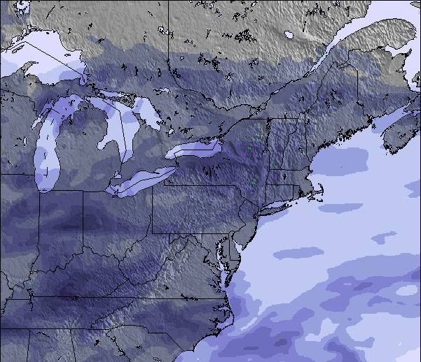
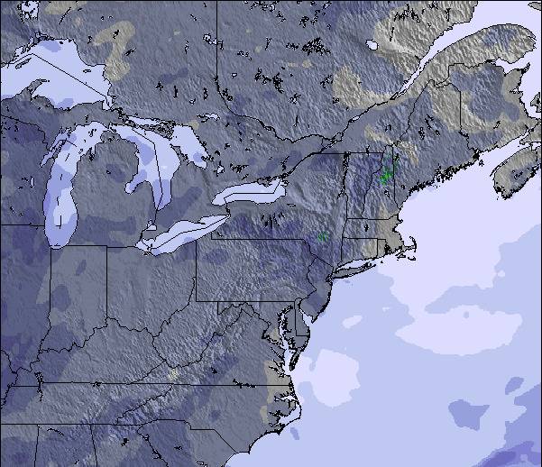
La tabella sopra da le previsioni meteo per Mont Orford a specifiche altezze 583 m. I nostri sofisticati modelli meteo ci consentono di fornire previsioni neve per la vetta, l'area intermedia e a valle delle stazioni sciistiche di Mont Orford. Per accedere alle previsioni meteo ad altre altezze, per spostarti usa tab sopra la tabella. Per una visione meteo piu' ampia , controlla la mappa meteo di Canada.
Clicca qui per leggere ulteriori informazioni sullo zero termico e il nostro sistema di prevedere le temperature.
Complessivamente 4.0 Basato su 3 voti e 1 recensione
Skied Mont Orford for the first time Dec 30/19 to Jan 2/19. Family of 5: 2 adults, 2 youth(13 & 16), 1 child(10yo), all of whom have been skiing for about 7 years (Bristol Mtn, Gore, Mt Ste. Anne, Massif, Tremblant). Very icy the first day but got a great dump of snow for the next three days. Stuck to the greens and blues as the blacks were very icy due to wind. The 4km and Famiiliale were quite good as well as Magog. The kids loved Escapade and Foret Magique. There is only one real building but it is large and we had no problems finding space for our stuff. There is a microwave in the basement along with nice washrooms. There were really only two lifts: express quad and an express hybrid (6 seat lift/8 seat gondola). There was a triple working every once in a while part way up the main hill. The lift lines can get long, especially for the quad - lots of switchbacks. The staff was exceptionally nice and put up with my terrible French and switched to English with no problems. It is nice buying lift tickets inside rather than waiting in the cold. There was only a long line on our last day but it moved very quickly. The views from the summits are gorgeous. You can see across the valley and the lake to Owl's Head, another resort. The town of Magog is larger than you think and has everything you need (multiple grocery stores, CTC, Walmart). There is also a 2.5km ice skating trail down by the lake that is free (parking costs a little bit).
Andrea da Canada scrive:
Skied Mont Orford for the first time Dec 30/19 to Jan 2/19. Family of 5: 2 adults, 2 youth(13 & 16), 1 child(10yo), all of whom have been skiing for about 7 years (Bristol Mtn, Gore, Mt Ste. Anne, Massif, Tremblant). Very icy the first day but got a great dump of snow for the next three days. Stuck to the greens and blues as the blacks were very icy due to wind. The 4km and Famiiliale were quite good as well as Magog. The kids loved Escapade and Foret Magique. There is only one real building but it is large and we had no problems finding space for our stuff. There is a microwave in the basement along with nice washrooms. There were really only two lifts: express quad and an express hybrid (6 seat lift/8 seat gondola). There was a triple working every once in a while part way up the main hill. The lift lines can get long, especially for the quad - lots of switchbacks. The staff was exceptionally nice and put up with my terrible French and switched to English with no problems. It is nice buying lift tickets inside rather than waiting in the cold. There was only a long line on our last day but it moved very quickly. The views from the summits are gorgeous. You can see across the valley and the lake to Owl's Head, another resort. The town of Magog is larger than you think and has everything you need (multiple grocery stores, CTC, Walmart). There is also a 2.5km ice skating trail down by the lake that is free (parking costs a little bit).

 Nearest