

Portillo Re-Opens To Guests Arriving By Helicopter
Chile’s famous Portillo ski resort is reported to have re-opened to guests arriving by helicopter after being cut off by road for more than two weeks by over 6m/20 feet of snowfall.

Next 3 days weather summary:Pioggia abbondante (totale 23.0mm), più pesante durante Mercoledì pomeriggio. Temperature moderate (max 13°C Martedì pomeriggio, min 10°C Martedì notte). Vento sarà generalmente leggero. | Giorni 4-6 Mandarfen/Rifflsee sommario meteoPioggia abbondante (totale 39.0mm), più pesante durante Giovedì notte. Temperature moderate (max 11°C Giovedì pomeriggio, min 7°C Giovedì notte). Vento sarà generalmente leggero. | ||||||||||||||||
Lun 3 | Martedì 4 | Mercoledì 5 | Giovedì 6 | Venerdì 7 | Sabato 8 | ||||||||||||
PM | notte | AM | PM | notte | AM | PM | notte | AM | PM | notte | AM | PM | notte | AM | PM | notte | |
pioggia leggera | limpido | limpido | rischio temporale | rovesci pioggia | rischio temporale | rischio temporale | rovesci pioggia | rischio temporale | rischio temporale | forte pioggia | pioggia leggera | rischio temporale | rovesci pioggia | poche nuvole | rischio temporale | rovesci pioggia | |
km/h | |||||||||||||||||
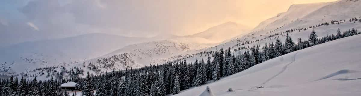
Mappa neve |  |  |  |  |  |  | |||||||||||
— | — | — | — | — | — | — | — | — | — | — | — | — | — | — | — | — | |
mm | 2 | — | — | 3 | 2 | 1 | 5 | 6 | 4 | 9 | 13 | 2 | 7 | 3 | — | 4 | 1 |
max °C | 12 | 12 | 12 | 13 | 13 | 11 | 13 | 11 | 11 | 11 | 10 | 8 | 8 | 8 | 8 | 9 | 9 |
min °C | 11 | 11 | 11 | 12 | 10 | 11 | 12 | 10 | 10 | 10 | 7 | 7 | 8 | 8 | 8 | 9 | 8 |
chill °C | 10 | 10 | 11 | 12 | 10 | 11 | 12 | 10 | 10 | 10 | 6 | 7 | 8 | 8 | 8 | 9 | 8 |
Umido. % | 71 | 67 | 65 | 62 | 68 | 76 | 71 | 81 | 74 | 84 | 98 | 84 | 90 | 81 | 87 | 87 | 54 |
Zero termico m | 4450 | 4500 | 4500 | 4650 | 4500 | 4450 | 4600 | 4450 | 4350 | 4350 | 4000 | 4000 | 4100 | 4150 | 4050 | 4150 | 4350 |
— | — | 5:58 | — | — | 6:00 | — | — | 6:01 | — | — | 6:01 | — | — | 6:03 | — | — | |
— | 8:46 | — | — | 8:45 | — | — | 8:44 | — | — | 8:42 | — | — | 8:40 | — | — | 8:38 | |
Diventa pro e intaglia:
Informazioni valanghe: European Avalanche Warning Services (EAWS)
Gli ultimi report della neve vicino a Mandarfen/Rifflsee:
| La profondità maggiore della neve é: | 0 cm |
|---|---|
| La profondità minore della neve é: | 0 cm |
| Fresh snowfall depth: | — |
| Quando ha nevicato l'ultima volta? | 10 Jun 2026 |
0.0 | Giorni neve fresca Neve fresca, prevalentemente soleggiato, vento debole. |
|---|---|
0.0 | Giorni neve fresca Fresh snow, limited sun, any wind. |
0.0 | Giorni Bluebird Neve media, prevalentemente soleggiato, vento debole. |
La tabella sopra da le previsioni meteo per Mandarfen/Rifflsee a specifiche altezze 2800 m. I nostri sofisticati modelli meteo ci consentono di fornire previsioni neve per la vetta, l'area intermedia e a valle delle stazioni sciistiche di Mandarfen/Rifflsee. Per accedere alle previsioni meteo ad altre altezze, per spostarti usa tab sopra la tabella. Per una visione meteo piu' ampia , controlla la mappa meteo di Austria.
Clicca qui per leggere ulteriori informazioni sullo zero termico e il nostro sistema di prevedere le temperature.
Il nome della localita' è scritto anche come Mandarfen-Rifflsee.
Complessivamente 3.8 Basato su 11 voti e 1 recensione
For information, the village Mandarfen is only 2 km from the lift to Pitztal glacier and you can ski from Riffelsee to the lift, mountain railway (the railway takes 10 min to the glacier). The bus takes 5 min between Mandarfen and Pitztal glacier. You enter the cabin directly from Mandarfen village to Riffelsee ski area. Mandarfen have a lot of hotels, mostly 4 stars, within 25 to 500 meters to the lift/cabin, or take the bus 5 min to the glacier. It's a small, nice quiet and lovely place with good skiing. Have been there four times and will soon be back.
Stefan Ohman da Sweden scrive:
For information, the village Mandarfen is only 2 km from the lift to Pitztal glacier and you can ski from Riffelsee to the lift, mountain railway (the railway takes 10 min to the glacier). The bus takes 5 min between Mandarfen and Pitztal glacier. You enter the cabin directly from Mandarfen village to Riffelsee ski area.
Mandarfen have a lot of hotels, mostly 4 stars, within 25 to 500 meters to the lift/cabin, or take the bus 5 min to the glacier.
It's a small, nice quiet and lovely place with good skiing.
Have been there four times and will soon be back.
Clicca qui per inviare la tua recensione di Mandarfen/Rifflsee


 Nearest