

America’s Next Indoor Snow Centre Takes Shape
Construction of a new indoor snow centre for skiers, boarders and tubers appears to be making good progress at Heritage Farm in Wayne County, West Virginia.

Next 3 days weather summary:Pioggia leggera (totale 7.0mm), per lo più che cade Giovedì mattina. Temperature moderate (max 17°C Sabato pomeriggio, min 4°C Giovedì notte). Vento sarà generalmente leggero. | Giorni 4-6 Mallnitz sommario meteoPioggia abbondante (totale 20.0mm), più pesante durante Domenica pomeriggio. Temperature moderate (max 17°C Martedì pomeriggio, min 10°C Lunedì mattina). Vento sarà generalmente leggero. | |||||||||||||||||
Giovedì 23 | Venerdì 24 | Sabato 25 | Domenica 26 | Lunedì 27 | Martedì 28 | |||||||||||||
AM | PM | notte | AM | PM | notte | AM | PM | notte | AM | PM | notte | AM | PM | notte | AM | PM | notte | |
rovesci pioggia | rovesci pioggia | rovesci pioggia | poche nuvole | limpido | limpido | poche nuvole | limpido | rovesci pioggia | rischio temporale | pioggia moderata | rovesci pioggia | pioggia leggera | rovesci pioggia | rovesci pioggia | poche nuvole | nuvol- oso | limpido | |
km/h | ||||||||||||||||||
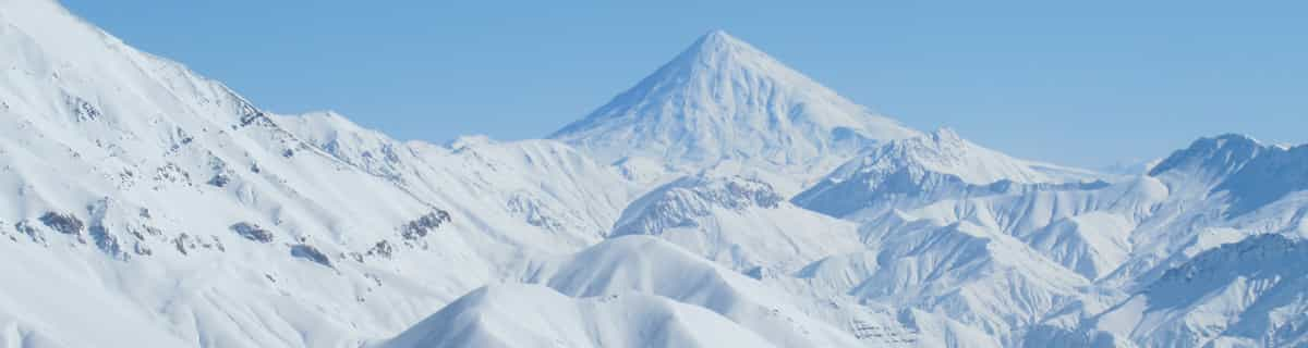
Mappa neve |  |  |  |  |  |  | ||||||||||||
— | — | — | — | — | — | — | — | — | — | — | — | — | — | — | — | — | — | |
mm | 2 | 3 | 1 | — | — | — | — | — | 1 | 4 | 6 | 5 | 1 | 3 | 1 | — | — | — |
max °C | 9 | 12 | 8 | 9 | 13 | 11 | 13 | 17 | 14 | 14 | 14 | 12 | 13 | 15 | 12 | 14 | 17 | 15 |
min °C | 8 | 11 | 4 | 6 | 12 | 8 | 10 | 16 | 13 | 13 | 11 | 11 | 10 | 14 | 10 | 12 | 16 | 13 |
chill °C | 7 | 10 | 1 | 4 | 11 | 8 | 10 | 16 | 13 | 13 | 10 | 10 | 10 | 14 | 10 | 12 | 16 | 13 |
Umido. % | 67 | 46 | 80 | 43 | 29 | 62 | 52 | 50 | 72 | 70 | 63 | 77 | 68 | 67 | 93 | 69 | 69 | 84 |
Zero termico m | 3100 | 3250 | 2700 | 3000 | 3600 | 3700 | 4050 | 4150 | 4300 | 3850 | 3950 | 3700 | 3700 | 3950 | 3950 | 4300 | 4300 | 4600 |
5:35 | — | — | 5:35 | — | — | 5:37 | — | — | 5:37 | — | — | 5:39 | — | — | 5:41 | — | — | |
— | — | 8:51 | — | — | 8:50 | — | — | 8:49 | — | — | 8:47 | — | — | 8:46 | — | — | 8:45 | |
Diventa pro e intaglia:
Informazioni valanghe: European Avalanche Warning Services (EAWS)
Gli ultimi report della neve vicino a Mallnitz:
| La profondità maggiore della neve é: | 0 cm |
|---|---|
| La profondità minore della neve é: | 0 cm |
| Fresh snowfall depth: | — |
| Quando ha nevicato l'ultima volta? | 10 Jun 2026 |
0.0 | Giorni neve fresca Neve fresca, prevalentemente soleggiato, vento debole. |
|---|---|
0.0 | Giorni neve fresca Fresh snow, limited sun, any wind. |
0.0 | Giorni Bluebird Neve media, prevalentemente soleggiato, vento debole. |
La tabella sopra da le previsioni meteo per Mallnitz a specifiche altezze 1925 m. I nostri sofisticati modelli meteo ci consentono di fornire previsioni neve per la vetta, l'area intermedia e a valle delle stazioni sciistiche di Mallnitz. Per accedere alle previsioni meteo ad altre altezze, per spostarti usa tab sopra la tabella. Per una visione meteo piu' ampia , controlla la mappa meteo di Austria.
Clicca qui per leggere ulteriori informazioni sullo zero termico e il nostro sistema di prevedere le temperature.
Complessivamente 4.0 Basato su 15 voti e 1 recensione
The resort is twinned with the Molltaler Glacier. There is a bus between the two. Mallnitz is an Alpine Pearl Village, so environmental issues are high on the agenda. The lift infrastructure is limited, with a two stage gondola taking you above the tree line to a large bowl, where there are a couple of T bars. It is proposed that a chair lift will be added to the bowl. Most of the runs are red, but really you can ski anywhere in the bowl. Great views from the top. Really nice run from the top to the bottom. There is a beginners area at the bottom of the gondola station (drag lifts). Resort is quiet and hotel based. So really it is good for families ready to step up from learner slopes to the real thing. The town has a nice pool and an ice rink. It is also one train stop to Bad Gastein, which has extensive pistes. The resort really comes into its own if you are very good and very fit. There are excellent ski touring routes out of the town. You can take the gondola to the 2600m and then skin up to about 3000m and then descend into the Gastein Valley. You can take the train back from the bottom to Mallnitz, or take the bus to Sport Gastein. Other day tours take you from Mallnitz 1200m up to 2700m.
Nick Haskins da Afghanistan scrive:
The resort is twinned with the Molltaler Glacier. There is a bus between the two. Mallnitz is an Alpine Pearl Village, so environmental issues are high on the agenda. The lift infrastructure is limited, with a two stage gondola taking you above the tree line to a large bowl, where there are a couple of T bars. It is proposed that a chair lift will be added to the bowl. Most of the runs are red, but really you can ski anywhere in the bowl. Great views from the top. Really nice run from the top to the bottom. There is a beginners area at the bottom of the gondola station (drag lifts). Resort is quiet and hotel based. So really it is good for families ready to step up from learner slopes to the real thing. The town has a nice pool and an ice rink. It is also one train stop to Bad Gastein, which has extensive pistes. The resort really comes into its own if you are very good and very fit. There are excellent ski touring routes out of the town. You can take the gondola to the 2600m and then skin up to about 3000m and then descend into the Gastein Valley. You can take the train back from the bottom to Mallnitz, or take the bus to Sport Gastein. Other day tours take you from Mallnitz 1200m up to 2700m.


 Nearest