La tabella sopra da le previsioni meteo per Malbun a specifiche altezze 2000 m. I nostri sofisticati modelli meteo ci consentono di fornire previsioni neve per la vetta, l'area intermedia e a valle delle stazioni sciistiche di Malbun. Per accedere alle previsioni meteo ad altre altezze, per spostarti usa tab sopra la tabella. Per una visione meteo piu' ampia , controlla la mappa meteo di Liechtenstein.
Clicca qui per leggere ulteriori informazioni sullo zero termico e il nostro sistema di prevedere le temperature.
Recensioni dei visitatori di Malbun
Complessivamente 3.4 Basato su 10 voti e 1 recensione
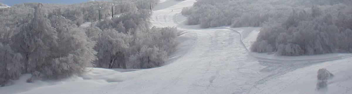
There are now three modern chairlifts servicing virtually all of the resort and, despite Malbun's modest size, there is a good range of skiing from nursery slopes through runs of increasing difficulty, including one short, steep black and some off-piste.
The resort is uncrowded and friendly, and in the Hotel Gorfion it has an excellent ski-in, ski-out family hotel where you can deposit your kids in the ski school opposite or leave them in the hotel's supervised nursery as late as 8pm. One interesting feature is that they will even take kids in their pyjamas from 7am twice a week to allow parents a lie-in!
Complessivamente: 3.4 Basato su 10 voti e 1 recensione
Snowsure
4.0
Varietà di piste
3.0
Apres-Ski
3.0
Innevamento
4.0
Avanzate
3.0
Nic Oatridge da Switzerland scrive:
There are now three modern chairlifts servicing virtually all of the resort and, despite Malbun's modest size, there is a good range of skiing from nursery slopes through runs of increasing difficulty, including one short, steep black and some off-piste.
The resort is uncrowded and friendly, and in the Hotel Gorfion it has an excellent ski-in, ski-out family hotel where you can deposit your kids in the ski school opposite or leave them in the hotel's supervised nursery as late as 8pm. One interesting feature is that they will even take kids in their pyjamas from 7am twice a week to allow parents a lie-in!
Gratis Snow-Forecast.com weather widget per il tho sito
Il Malbun widget meteo qui sotto è disponibile per essere incorporato su siti Web esterni a titolo gratuito. Esso fornisce un riepilogo giornaliero delle nostre Malbun previsioni meteo neve e dati meteo. Basta andare alla pagina di configurazione e seguire 3 semplici passi per prendere il codice html personalizzato ed incollarlo nel tuo sito. È possibile scegliere l'elevazione di previsione di neve (vetta, metà o piede della montagna) e l'unità metrica/imperiale per le previsioni meteo neve adeguata al proprio sito Web Clicca qui per ottenere il codice


 Nearest