

America’s Next Indoor Snow Centre Takes Shape
Construction of a new indoor snow centre for skiers, boarders and tubers appears to be making good progress at Heritage Farm in Wayne County, West Virginia.

Next 3 days weather summary:Pioggia leggera (totale 2.0mm), per lo più che cade Giovedì pomeriggio. Temperature moderate (max 19°C Sabato mattina, min 6°C Giovedì notte). Vento sarà generalmente leggero. | Giorni 4-6 Malbun sommario meteoPioggia moderata (totale 18.0mm), più pesante Sabato notte. Caldo (max 23°C Sabato pomeriggio, min 9°C Domenica notte). Vento sarà generalmente leggero. | ||||||||||||||||
Mer 22 | Giovedì 23 | Venerdì 24 | Sabato 25 | Domenica 26 | Lunedì 27 | ||||||||||||
PM | notte | AM | PM | notte | AM | PM | notte | AM | PM | notte | AM | PM | notte | AM | PM | notte | |
limpido | poche nuvole | limpido | rovesci pioggia | rovesci pioggia | limpido | limpido | poche nuvole | limpido | poche nuvole | forte pioggia | rischio temporale | pioggia leggera | rovesci pioggia | limpido | poche nuvole | limpido | |
km/h | |||||||||||||||||
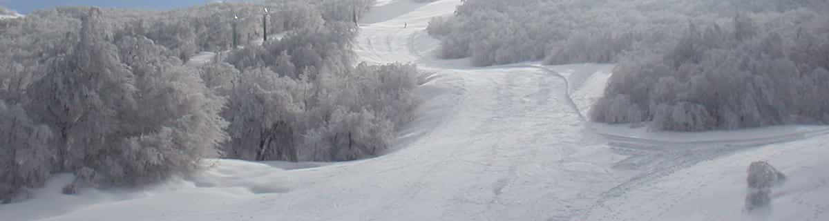
Mappa neve |  |  |  |  |  |  | |||||||||||
— | — | — | — | — | — | — | — | — | — | — | — | — | — | — | — | — | |
mm | — | — | — | 1 | 1 | — | — | — | — | — | 12 | 2 | 2 | 2 | — | — | — |
max °C | 16 | 13 | 13 | 15 | 12 | 14 | 17 | 14 | 19 | 23 | 13 | 16 | 18 | 13 | 15 | 17 | 14 |
min °C | 16 | 8 | 10 | 15 | 6 | 9 | 17 | 10 | 13 | 23 | 11 | 12 | 14 | 9 | 11 | 17 | 11 |
chill °C | 16 | 8 | 10 | 14 | 6 | 9 | 17 | 8 | 12 | 23 | 10 | 12 | 14 | 9 | 11 | 17 | 11 |
Umido. % | 43 | 58 | 61 | 48 | 63 | 47 | 34 | 47 | 43 | 32 | 75 | 55 | 66 | 74 | 68 | 65 | 76 |
Zero termico m | 3400 | 3300 | 3100 | 3200 | 3200 | 3850 | 3950 | 4100 | 4200 | 4300 | 3850 | 3650 | 3650 | 3650 | 3800 | 4100 | 4650 |
— | — | 5:48 | — | — | 5:50 | — | — | 5:50 | — | — | 5:52 | — | — | 5:52 | — | — | |
— | 9:07 | — | — | 9:06 | — | — | 9:05 | — | — | 9:04 | — | — | 9:01 | — | — | 9:00 | |
Diventa pro e intaglia:
Gli ultimi report della neve vicino a Malbun:
| La profondità maggiore della neve é: | 0 cm |
|---|---|
| La profondità minore della neve é: | 0 cm |
| Fresh snowfall depth: | — |
| Quando ha nevicato l'ultima volta? | 10 Jun 2026 |
0.0 | Giorni neve fresca Neve fresca, prevalentemente soleggiato, vento debole. |
|---|---|
0.0 | Giorni neve fresca Fresh snow, limited sun, any wind. |
0.0 | Giorni Bluebird Neve media, prevalentemente soleggiato, vento debole. |
La tabella sopra da le previsioni meteo per Malbun a specifiche altezze 1600 m. I nostri sofisticati modelli meteo ci consentono di fornire previsioni neve per la vetta, l'area intermedia e a valle delle stazioni sciistiche di Malbun. Per accedere alle previsioni meteo ad altre altezze, per spostarti usa tab sopra la tabella. Per una visione meteo piu' ampia , controlla la mappa meteo di Liechtenstein.
Clicca qui per leggere ulteriori informazioni sullo zero termico e il nostro sistema di prevedere le temperature.
Complessivamente 3.4 Basato su 10 voti e 1 recensione
There are now three modern chairlifts servicing virtually all of the resort and, despite Malbun's modest size, there is a good range of skiing from nursery slopes through runs of increasing difficulty, including one short, steep black and some off-piste. The resort is uncrowded and friendly, and in the Hotel Gorfion it has an excellent ski-in, ski-out family hotel where you can deposit your kids in the ski school opposite or leave them in the hotel's supervised nursery as late as 8pm. One interesting feature is that they will even take kids in their pyjamas from 7am twice a week to allow parents a lie-in!
Nic Oatridge da Switzerland scrive:
There are now three modern chairlifts servicing virtually all of the resort and, despite Malbun's modest size, there is a good range of skiing from nursery slopes through runs of increasing difficulty, including one short, steep black and some off-piste.
The resort is uncrowded and friendly, and in the Hotel Gorfion it has an excellent ski-in, ski-out family hotel where you can deposit your kids in the ski school opposite or leave them in the hotel's supervised nursery as late as 8pm. One interesting feature is that they will even take kids in their pyjamas from 7am twice a week to allow parents a lie-in!


 Nearest