Ultimi 6 giorniScorri a sinistra per gli ultimi 6 giorniOra
Next 4 days weather summary:
Pioggia abbondante (totale 41.0mm), più pesante durante Domenica pomeriggio. Temperature moderate (max 18°C Venerdì notte, min 10°C Domenica pomeriggio). Vento sarà generalmente leggero.
Giorni 5-7 Kitzbühel sommario meteo
Pioggia moderata (totale 13.0mm), più pesante Giovedì pomeriggio. Temperature moderate (max 15°C Mercoledì pomeriggio, min 7°C Giovedì pomeriggio). Vento sarà generalmente leggero.
La tabella sopra da le previsioni meteo per Kitzbühel a specifiche altezze 1400 m. I nostri sofisticati modelli meteo ci consentono di fornire previsioni neve per la vetta, l'area intermedia e a valle delle stazioni sciistiche di Kitzbühel. Per accedere alle previsioni meteo ad altre altezze, per spostarti usa tab sopra la tabella. Per una visione meteo piu' ampia , controlla la mappa meteo di Austria.
Clicca qui per leggere ulteriori informazioni sullo zero termico e il nostro sistema di prevedere le temperature.
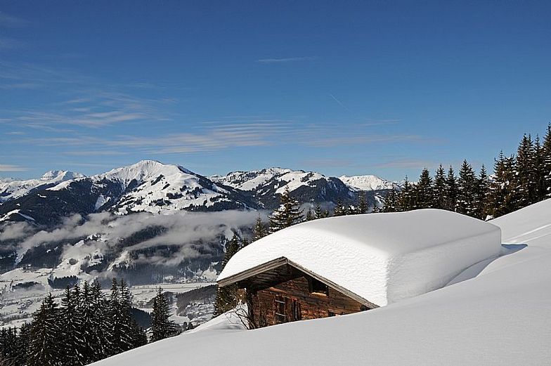
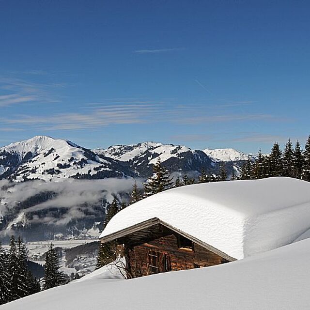
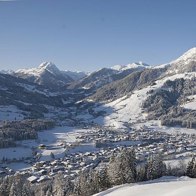
Il nome della localita' è scritto anche come Kitzbuhel.
Recensioni dei visitatori di Kitzbühel
Complessivamente 4.3 Basato su 21 voti e 26 recensioni
I came to skiing quite late in life and although have really enjoyed some challenging red runs in other resorts I usually need a good half a day of cruisey blues on good snow to get my ski legs on and more importantly confidence up. And here just hasn’t offered that opportunity. It’s a great resort, but I’d say due to multi-hill terrain it’s a bit stop-start; short run here, lift, short run there, switchback here, and so on. It’s clear the world famous downhill has an impact, with people flying down busy (today slushy) pistes like demons trying to emulate the pros. And the run classifications... it’s like someone has decided each hill needs at least one blue, a red and a black run to show some variety. But in truth there’s sometimes v little between some blues and blacks. Off the mountain I have had a lovely time. Friendly people about the place, good restaurants and social side. In summary: if you fancy a challenge, then you’ll love the slushy runs, aside precipitous mountain drops, while weaving in between others of a similar mindset. If you’re looking for somewhere to build your confidence and put some cruisey miles in: avoid.
Complessivamente: 4.3 Basato su 21 voti e 26 recensioni
Snowsure
4.0
Varietà di piste
4.4
Fuoripista
4.2
Paesaggio
4.6
Apres-Ski
4.3
Mark T da Austria scrive:
I came to skiing quite late in life and although have really enjoyed some challenging red runs in other resorts I usually need a good half a day of cruisey blues on good snow to get my ski legs on and more importantly confidence up. And here just hasn’t offered that opportunity. It’s a great resort, but I’d say due to multi-hill terrain it’s a bit stop-start; short run here, lift, short run there, switchback here, and so on. It’s clear the world famous downhill has an impact, with people flying down busy (today slushy) pistes like demons trying to emulate the pros. And the run classifications... it’s like someone has decided each hill needs at least one blue, a red and a black run to show some variety. But in truth there’s sometimes v little between some blues and blacks. Off the mountain I have had a lovely time. Friendly people about the place, good restaurants and social side. In summary: if you fancy a challenge, then you’ll love the slushy runs, aside precipitous mountain drops, while weaving in between others of a similar mindset. If you’re looking for somewhere to build your confidence and put some cruisey miles in: avoid.
Gratis Snow-Forecast.com weather widget per il tho sito
Il Kitzbühel widget meteo qui sotto è disponibile per essere incorporato su siti Web esterni a titolo gratuito. Esso fornisce un riepilogo giornaliero delle nostre Kitzbühel previsioni meteo neve e dati meteo. Basta andare alla pagina di configurazione e seguire 3 semplici passi per prendere il codice html personalizzato ed incollarlo nel tuo sito. È possibile scegliere l'elevazione di previsione di neve (vetta, metà o piede della montagna) e l'unità metrica/imperiale per le previsioni meteo neve adeguata al proprio sito Web Clicca qui per ottenere il codice


 Nearest