

America’s Next Indoor Snow Centre Takes Shape
Construction of a new indoor snow centre for skiers, boarders and tubers appears to be making good progress at Heritage Farm in Wayne County, West Virginia.

Next 4 days weather summary:Pioggia leggera (totale 8.0mm), per lo più che cade Lunedì pomeriggio. Temperature moderate (max 12°C Lunedì pomeriggio, min 5°C Martedì notte). Vento sarà generalmente leggero. | Giorni 5-7 Kaprun sommario meteoPioggia moderata (totale 13.0mm), più pesante Giovedì pomeriggio. Temperature moderate (max 15°C Sabato pomeriggio, min 3°C Giovedì notte). Vento sarà generalmente leggero. | |||||||||||||||
Lunedì 20 | Martedì 21 | Mercoledì 22 | Giovedì 23 | Venerdì 24 | ||||||||||||
notte | AM | PM | notte | AM | PM | notte | AM | PM | notte | AM | PM | notte | AM | PM | notte | |
rovesci pioggia | limpido | rischio temporale | rovesci pioggia | poche nuvole | rovesci pioggia | rovesci pioggia | limpido | poche nuvole | poche nuvole | rischio temporale | rischio temporale | rovesci pioggia | limpido | limpido | limpido | |
km/h | ||||||||||||||||
Mappa neve |  |  |  |  |  |  | ||||||||||
— | — | — | — | — | — | — | — | — | — | — | — | — | — | — | — | |
mm | 1 | — | 3 | 1 | — | 2 | 1 | — | — | — | 3 | 6 | 4 | — | — | — |
max °C | 9 | 11 | 12 | 10 | 10 | 10 | 7 | 9 | 12 | 10 | 7 | 7 | 5 | 8 | 12 | 10 |
min °C | 7 | 8 | 10 | 7 | 7 | 10 | 5 | 6 | 11 | 7 | 6 | 6 | 3 | 4 | 10 | 8 |
chill °C | 6 | 8 | 9 | 6 | 6 | 8 | 3 | 4 | 10 | 5 | 4 | 3 | 0 | 2 | 9 | 7 |
Umido. % | 75 | 63 | 81 | 80 | 69 | 66 | 81 | 42 | 55 | 73 | 86 | 80 | 84 | 43 | 30 | 45 |
Zero termico m | 3350 | 3350 | 3400 | 3400 | 3250 | 3000 | 2750 | 3150 | 3250 | 3000 | 2850 | 2800 | 2450 | 2850 | 3400 | 3700 |
— | 5:31 | — | — | 5:33 | — | — | 5:33 | — | — | 5:35 | — | — | 5:37 | — | — | |
— | — | — | 8:57 | — | — | 8:55 | — | — | 8:54 | — | — | 8:53 | — | — | 8:52 | |
Diventa pro e intaglia:
Informazioni valanghe: European Avalanche Warning Services (EAWS)
Gli ultimi report della neve vicino a Kaprun:
| La profondità maggiore della neve é: | 0 cm |
|---|---|
| La profondità minore della neve é: | 0 cm |
| Fresh snowfall depth: | — |
| Quando ha nevicato l'ultima volta? | 10 Jun 2026 |
0.0 | Giorni neve fresca Neve fresca, prevalentemente soleggiato, vento debole. |
|---|---|
0.0 | Giorni neve fresca Fresh snow, limited sun, any wind. |
0.0 | Giorni Bluebird Neve media, prevalentemente soleggiato, vento debole. |
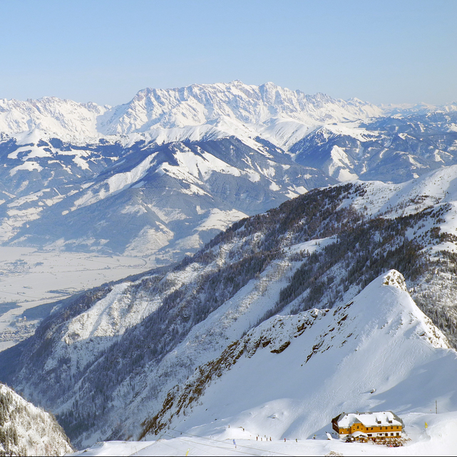
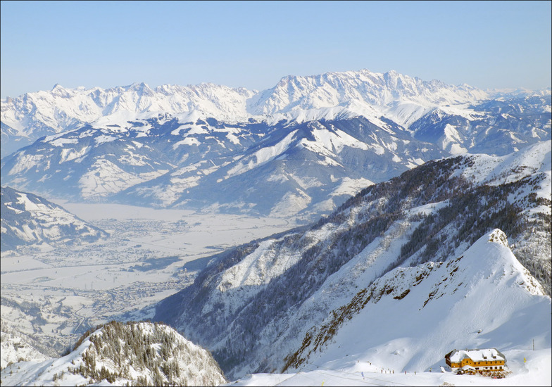
La tabella sopra da le previsioni meteo per Kaprun a specifiche altezze 1970 m. I nostri sofisticati modelli meteo ci consentono di fornire previsioni neve per la vetta, l'area intermedia e a valle delle stazioni sciistiche di Kaprun. Per accedere alle previsioni meteo ad altre altezze, per spostarti usa tab sopra la tabella. Per una visione meteo piu' ampia , controlla la mappa meteo di Austria.
Clicca qui per leggere ulteriori informazioni sullo zero termico e il nostro sistema di prevedere le temperature.
Complessivamente 4.2 Basato su 28 voti e 29 recensioni
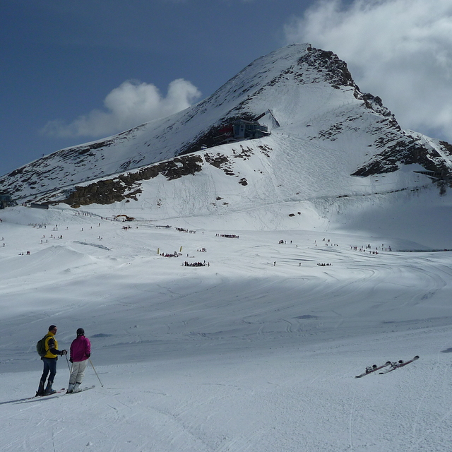
There is extensive skiing at Kaprun with excellent slopes for all skill levels. My only concern was the very high speeds that many people were skiing at. It was frankly dangerous. There is no way this would be permitted in North America. Something needs to be done about it. We are aware of one fatality that occurred 2 weeks before we holidayed there.
Jonathan Mann da United Kingdom scrive:
There is extensive skiing at Kaprun with excellent slopes for all skill levels. My only concern was the very high speeds that many people were skiing at. It was frankly dangerous. There is no way this would be permitted in North America. Something needs to be done about it. We are aware of one fatality that occurred 2 weeks before we holidayed there.


 Nearest