


Portillo Storm Snowfall Total Passes 5m / 17 Feet
A snow storm that has now continued for nine days has taken Chilean ski resort Portillo to a snowfall total of 5.2 metres (17 feet) so far, with more snow forecast.

Next 3 days weather summary:Pioggia moderata (totale 17.0mm), più pesante Mercoledì notte. Caldo (max 23°C Mercoledì pomeriggio, min 13°C Giovedì notte). Vento sarà generalmente leggero. | Giorni 4-6 Jay Peak sommario meteoPioggia abbondante (totale 40.0mm), più pesante durante Domenica notte. Caldo (max 23°C Sabato pomeriggio, min 12°C Lunedì notte). Venti in aumento (venti deboli da SW Sabato pomeriggio, venti freschi da SW per Domenica notte). | ||||||||||||||||
Mer 29 | Giovedì 30 | Venerdì 31 | Sabato 1 | Domenica 2 | Lunedì 3 | ||||||||||||
PM | notte | AM | PM | notte | AM | PM | notte | AM | PM | notte | AM | PM | notte | AM | PM | notte | |
pioggia leggera | pioggia moderata | pioggia leggera | pioggia leggera | poche nuvole | rovesci pioggia | rovesci pioggia | rovesci pioggia | nuvol- oso | nuvol- oso | pioggia leggera | pioggia leggera | pioggia leggera | forte pioggia | pioggia moderata | pioggia leggera | rovesci pioggia | |
km/h | |||||||||||||||||
Mappa neve |  |  |  |  |  |  | |||||||||||
— | — | — | — | — | — | — | — | — | — | — | — | — | — | — | — | — | |
mm | 1 | 8 | 3 | 1 | — | 1 | 2 | 1 | — | — | 4 | 2 | 1 | 21 | 9 | 2 | 1 |
max °C | 23 | 16 | 15 | 17 | 16 | 19 | 21 | 17 | 20 | 23 | 19 | 18 | 18 | 17 | 15 | 14 | 13 |
min °C | 19 | 14 | 14 | 15 | 13 | 16 | 19 | 15 | 17 | 21 | 17 | 18 | 18 | 17 | 14 | 13 | 12 |
chill °C | 19 | 13 | 13 | 15 | 13 | 16 | 19 | 15 | 17 | 21 | 17 | 18 | 17 | 16 | 13 | 11 | 10 |
Umido. % | 75 | 92 | 96 | 83 | 89 | 76 | 79 | 83 | 77 | 66 | 88 | 88 | 95 | 97 | 98 | 98 | 82 |
Zero termico m | 3550 | 3600 | 3450 | 3400 | 3400 | 3500 | 3850 | 4050 | 4000 | 4200 | 4100 | 4000 | 4250 | 4100 | 3850 | 3550 | 3900 |
— | — | 5:31 | — | — | 5:33 | — | — | 5:33 | — | — | 5:35 | — | — | 5:35 | — | — | |
— | 8:20 | — | — | 8:19 | — | — | 8:16 | — | — | 8:15 | — | — | 8:15 | — | — | 8:14 | |
Diventa pro e intaglia:
Informazioni valanghe: National Avalanche Center
Gli ultimi report della neve vicino a Jay Peak:
| La profondità maggiore della neve é: | — |
|---|---|
| La profondità minore della neve é: | — |
| Fresh snowfall depth: | — |
| Quando ha nevicato l'ultima volta? | 29 May 2026 |
0.0 | Giorni neve fresca Neve fresca, prevalentemente soleggiato, vento debole. |
|---|---|
0.0 | Giorni neve fresca Fresh snow, limited sun, any wind. |
0.0 | Giorni Bluebird Neve media, prevalentemente soleggiato, vento debole. |
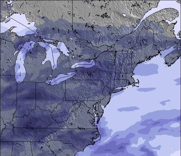
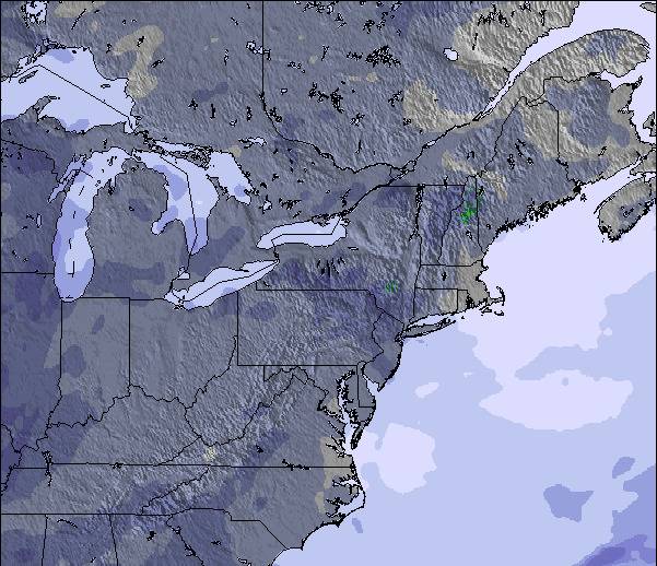
La tabella sopra da le previsioni meteo per Jay Peak a specifiche altezze 553 m. I nostri sofisticati modelli meteo ci consentono di fornire previsioni neve per la vetta, l'area intermedia e a valle delle stazioni sciistiche di Jay Peak. Per accedere alle previsioni meteo ad altre altezze, per spostarti usa tab sopra la tabella. Per una visione meteo piu' ampia , controlla la mappa meteo di United States.
Clicca qui per leggere ulteriori informazioni sullo zero termico e il nostro sistema di prevedere le temperature.
Complessivamente 3.8 Basato su 23 voti e 9 recensioni
Lets face it, we're not comparing the terrain here to that of the phenomenal ski circuses found in the Austrian Alps, so getting grounded on that thought Jay Peak is one of the best to be skied venues in Eastern N.A.! You get the best chances for fresh here, combined with a reasonable consistent vertical drop and an assortment of runs ( I'd like to highlight the glades, moguls and piste pitch). It is, however, expensive to stay overnight on or off hill but does offer a great indoor waterpark for family; fyi: not pet friendly! They will fine you for it without compromise! Check out the General Store in Jay for a fabulous "Slab" sandwich and whatever else too!
Mark da Canada scrive:
Lets face it, we're not comparing the terrain here to that of the phenomenal ski circuses found in the Austrian Alps, so getting grounded on that thought Jay Peak is one of the best to be skied venues in Eastern N.A.! You get the best chances for fresh here, combined with a reasonable consistent vertical drop and an assortment of runs ( I'd like to highlight the glades, moguls and piste pitch). It is, however, expensive to stay overnight on or off hill but does offer a great indoor waterpark for family; fyi: not pet friendly! They will fine you for it without compromise! Check out the General Store in Jay for a fabulous "Slab" sandwich and whatever else too!

 Nearest