Publicato da Snow-Forecast.com a:1 am (ora locale) / 19 Jul 2026
Ultimi 6 giorniScorri a sinistra per gli ultimi 6 giorniOra
Next 3 days weather summary:
Pioggia moderata (totale 15.0mm), più pesante Domenica mattina. Temperature moderate (max 11°C Lunedì pomeriggio, min 3°C Martedì notte). Vento sarà generalmente leggero.
Giorni 4-6 Hochzeiger sommario meteo
Pioggia moderata (totale 15.0mm), più pesante Giovedì notte. Condizioni di gelo e disgelo (max 10°C Mercoledì pomeriggio, min 0°C Giovedì notte). Vento sarà generalmente leggero.
La tabella sopra da le previsioni meteo per Hochzeiger a specifiche altezze 2370 m. I nostri sofisticati modelli meteo ci consentono di fornire previsioni neve per la vetta, l'area intermedia e a valle delle stazioni sciistiche di Hochzeiger. Per accedere alle previsioni meteo ad altre altezze, per spostarti usa tab sopra la tabella. Per una visione meteo piu' ampia , controlla la mappa meteo di Austria.
Clicca qui per leggere ulteriori informazioni sullo zero termico e il nostro sistema di prevedere le temperature.
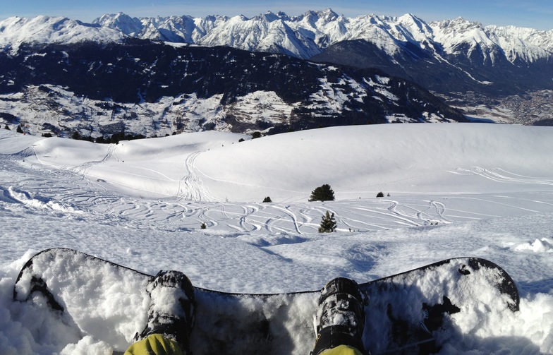
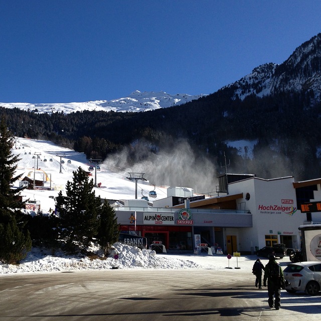
Recensioni dei visitatori di Hochzeiger
Complessivamente 3.3 Basato su 3 voti e 1 recensione
Hochzeiger resort is a great place to find that has not been over run by Brits. I have been going to this area since my army days of serious cross country skiing in 1967, when I was fit. My German friend introduced me to Hochzeiger 10 years ago and we normally stay in Wenns 6kms away. The hotel Schirgantblick is fantastic and will pick you up from the bars at the bottom of the lifts if you miss the last bus. The costs at this resort are a fraction of the large ones like St Anton. Last year, Feb 2008, we didn't come across any other Brits in the area and the hotel found us almost a novelty. Can't fault Hochzeiger, except my wife isn't keen on the free bus from Wenns (20mins) and 20 hairpin bends. Recommend it but fly to Innsbruck as the journey is only 55mins and the hotel will collect you free of charge.
Complessivamente: 3.3 Basato su 3 voti e 1 recensione
Snowsure
4.0
Varietà di piste
4.0
Fuoripista
3.0
Paesaggio
4.0
Apres-Ski
3.0
mike Bourne da United Kingdom scrive:
Hochzeiger resort is a great place to find that has not been over run by Brits. I have been going to this area since my army days of serious cross country skiing in 1967, when I was fit. My German friend introduced me to Hochzeiger 10 years ago and we normally stay in Wenns 6kms away. The hotel Schirgantblick is fantastic and will pick you up from the bars at the bottom of the lifts if you miss the last bus. The costs at this resort are a fraction of the large ones like St Anton. Last year, Feb 2008, we didn't come across any other Brits in the area and the hotel found us almost a novelty. Can't fault Hochzeiger, except my wife isn't keen on the free bus from Wenns (20mins) and 20 hairpin bends. Recommend it but fly to Innsbruck as the journey is only 55mins and the hotel will collect you free of charge.
Gratis Snow-Forecast.com weather widget per il tho sito
Il Hochzeiger widget meteo qui sotto è disponibile per essere incorporato su siti Web esterni a titolo gratuito. Esso fornisce un riepilogo giornaliero delle nostre Hochzeiger previsioni meteo neve e dati meteo. Basta andare alla pagina di configurazione e seguire 3 semplici passi per prendere il codice html personalizzato ed incollarlo nel tuo sito. È possibile scegliere l'elevazione di previsione di neve (vetta, metà o piede della montagna) e l'unità metrica/imperiale per le previsioni meteo neve adeguata al proprio sito Web Clicca qui per ottenere il codice


 Nearest