Previsione meteo per Hlidarfjall Akureyri a440m altitudine
Emesso: 11 am 01 Aug 2026 (ora locale)
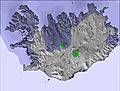
Previsione neve aggiornata in ora min
View forecast
Hlíðarfjall Akureyriat 440 m altitudine
Publicato da Snow-Forecast.com a:11 am (ora locale) / 01 Aug 2026
Ultimi 6 giorniScorri a sinistra per gli ultimi 6 giorniOra
Next 3 days weather summary:
Pioggia leggera (totale 2.0mm), per lo più che cade Sabato mattina. Temperature moderate (max 14°C Lunedì pomeriggio, min 4°C Sabato notte). Vento sarà generalmente leggero.
Giorni 4-6 Hlíðarfjall Akureyri sommario meteo
Per lo più asciutto. Temperature moderate (max 14°C Martedì mattina, min 5°C Giovedì notte). Vento sarà generalmente leggero.
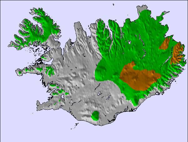
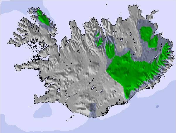
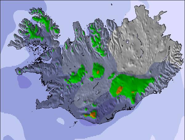
La tabella sopra da le previsioni meteo per Hlíðarfjall Akureyri a specifiche altezze 440 m. I nostri sofisticati modelli meteo ci consentono di fornire previsioni neve per la vetta, l'area intermedia e a valle delle stazioni sciistiche di Hlíðarfjall Akureyri. Per accedere alle previsioni meteo ad altre altezze, per spostarti usa tab sopra la tabella. Per una visione meteo piu' ampia , controlla la mappa meteo di Iceland.
Clicca qui per leggere ulteriori informazioni sullo zero termico e il nostro sistema di prevedere le temperature.
Il nome della localita' è scritto anche come Hlidarfjall Akureyri.
Recensioni dei visitatori di Hlíðarfjall Akureyri
Complessivamente 3.7 Basato su 2 voti e 2 recensioni
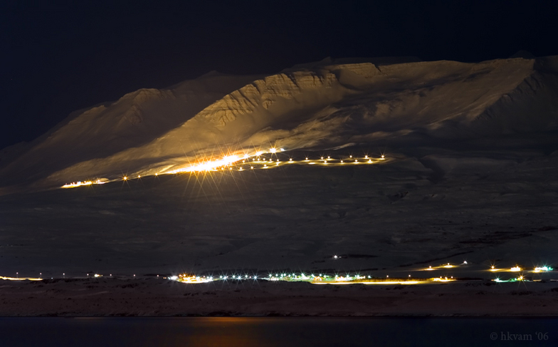
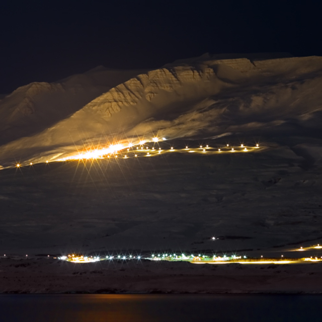
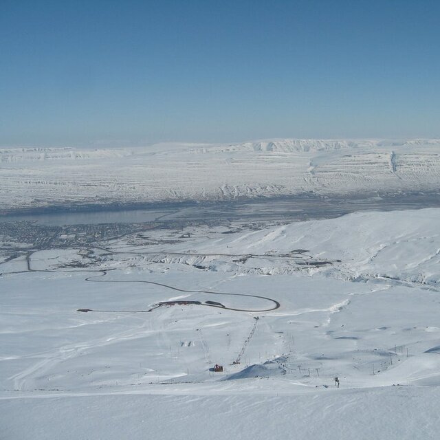
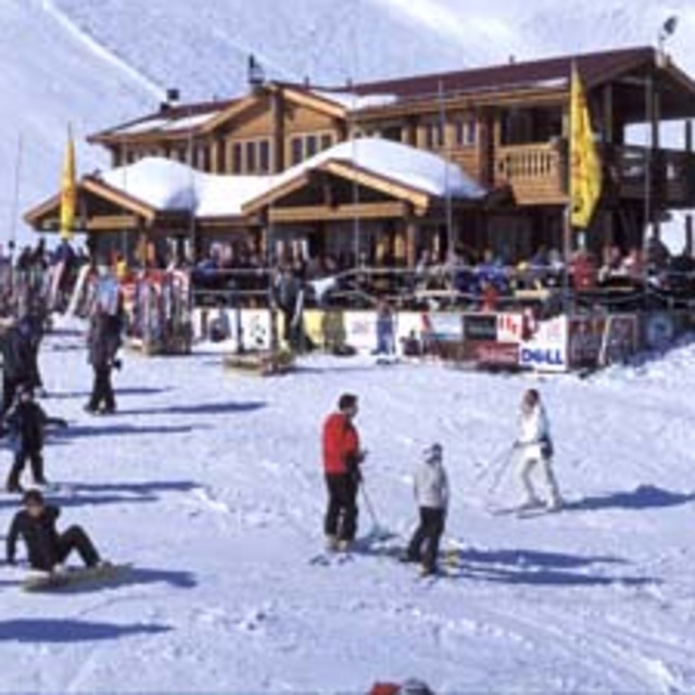
Situated between 500 and 1,000m above sea level, seven kilometres from the Icelandic city of Akureyri, Hlidarfjall is one of the country’s top ski resorts, boasting excellent pistes for beginner to upper intermediate level skiers, cross-country trails and off-piste skiing. Night-time skiing on illuminated pistes is also on offer.
The resort base, located at 500m, has only the most necessary facilities of a single ski lodge (the Stryta lodge), toilets, shops and a cafeteria. However, the city of Akureyri offers a multitude of visitor services, shops, accommodation options and recreational opportunities.
Hlidarfjall is a small, personal resort, with only 12kms of groomed pistes, the longest being 2.5kms. The resort caters mainly for lower level skiers, with only green and blue pistes on offer. There are four ski lifts in Hlidarfjall, able to transport 2,000 skiers per hour. Additionally, the resort encompasses five kilometres of illuminated cross-country tracks, and snowboarders have access to a terrain park with jumps, slides and tables.
Between Hlidarfjall and Akureyri, there are a multitude of alternative winter activities on offer. Visitors have access to a superb ice-skating rink and swimming pools heated by geothermal activity. Sports and leisure activities are also available, including a number of fitness centres.
Hlidarfjall’s ski season runs from mid-December to the end of April, with optimal snow from February to March, and cheaper rates offered at the beginning of the season, in selected weeks in January, and towards the season’s close. The easiest way of accessing the resort is to take a flight to Reykjavik, Iceland’s capital, then a domestic flight to Akureyri, and the Skibus to Hlidarfjall.
Complessivamente: 3.7 Basato su 2 voti e 2 recensioni
Snowsure
4.0
Varietà di piste
3.0
Fuoripista
5.0
Paesaggio
5.0
Apres-Ski
5.0
Yar Dmitriev da United States scrive:
Situated between 500 and 1,000m above sea level, seven kilometres from the Icelandic city of Akureyri, Hlidarfjall is one of the country’s top ski resorts, boasting excellent pistes for beginner to upper intermediate level skiers, cross-country trails and off-piste skiing. Night-time skiing on illuminated pistes is also on offer.
The resort base, located at 500m, has only the most necessary facilities of a single ski lodge (the Stryta lodge), toilets, shops and a cafeteria. However, the city of Akureyri offers a multitude of visitor services, shops, accommodation options and recreational opportunities.
Hlidarfjall is a small, personal resort, with only 12kms of groomed pistes, the longest being 2.5kms. The resort caters mainly for lower level skiers, with only green and blue pistes on offer. There are four ski lifts in Hlidarfjall, able to transport 2,000 skiers per hour. Additionally, the resort encompasses five kilometres of illuminated cross-country tracks, and snowboarders have access to a terrain park with jumps, slides and tables.
Between Hlidarfjall and Akureyri, there are a multitude of alternative winter activities on offer. Visitors have access to a superb ice-skating rink and swimming pools heated by geothermal activity. Sports and leisure activities are also available, including a number of fitness centres.
Hlidarfjall’s ski season runs from mid-December to the end of April, with optimal snow from February to March, and cheaper rates offered at the beginning of the season, in selected weeks in January, and towards the season’s close. The easiest way of accessing the resort is to take a flight to Reykjavik, Iceland’s capital, then a domestic flight to Akureyri, and the Skibus to Hlidarfjall.
Gratis Snow-Forecast.com weather widget per il tho sito
Il Hlíðarfjall Akureyri widget meteo qui sotto è disponibile per essere incorporato su siti Web esterni a titolo gratuito. Esso fornisce un riepilogo giornaliero delle nostre Hlíðarfjall Akureyri previsioni meteo neve e dati meteo. Basta andare alla pagina di configurazione e seguire 3 semplici passi per prendere il codice html personalizzato ed incollarlo nel tuo sito. È possibile scegliere l'elevazione di previsione di neve (vetta, metà o piede della montagna) e l'unità metrica/imperiale per le previsioni meteo neve adeguata al proprio sito Web Clicca qui per ottenere il codice


 Nearest