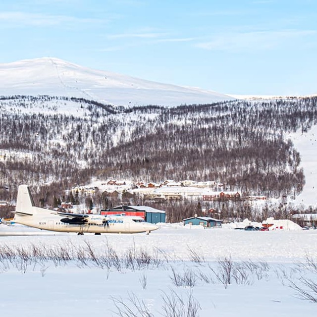
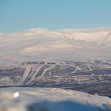
Previsione meteo per Hemavan and Tarnaby a1312m altitudine
Emesso: 1 am 01 Aug 2026 (ora locale)
Previsione neve aggiornata in ora min
Prossima neve a Hemavan and Tärnaby: 0.4cm il Mar 11
View forecast
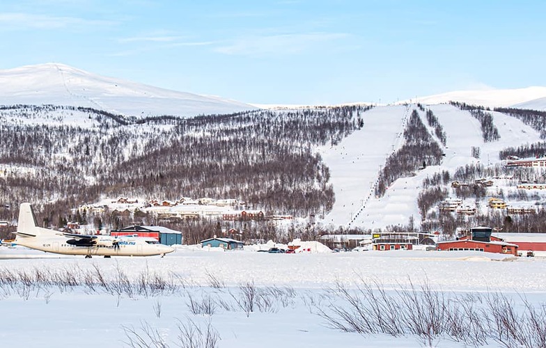
Hemavan and Tärnabyat 1312 m altitudine
Publicato da Snow-Forecast.com a:1 am (ora locale) / 01 Aug 2026
Ultimi 6 giorniScorri a sinistra per gli ultimi 6 giorniOra
Next 3 days weather summary:
Pioggia abbondante (totale 24.0mm), più pesante durante Domenica pomeriggio. Temperature moderate (max 6°C Sabato pomeriggio, min 1°C Lunedì notte). Vento sarà generalmente leggero.
Giorni 4-6 Hemavan and Tärnaby sommario meteo
Pioggia leggera (totale 2.0mm), per lo più che cade Martedì pomeriggio. Temperature moderate (max 6°C Giovedì pomeriggio, min 1°C Martedì notte). Vento sarà generalmente leggero.
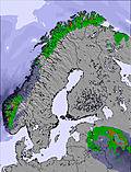
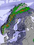
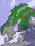
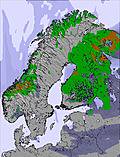
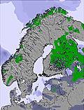
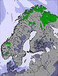
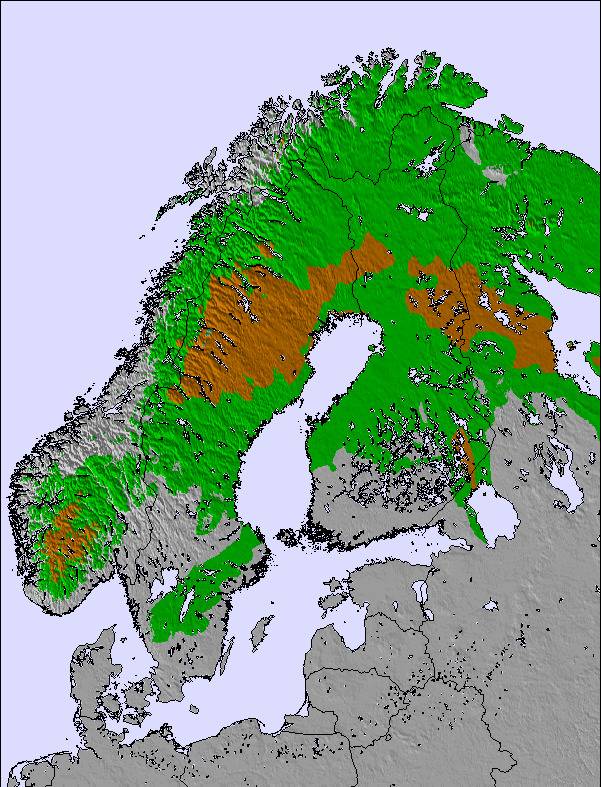
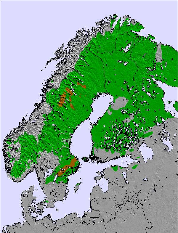
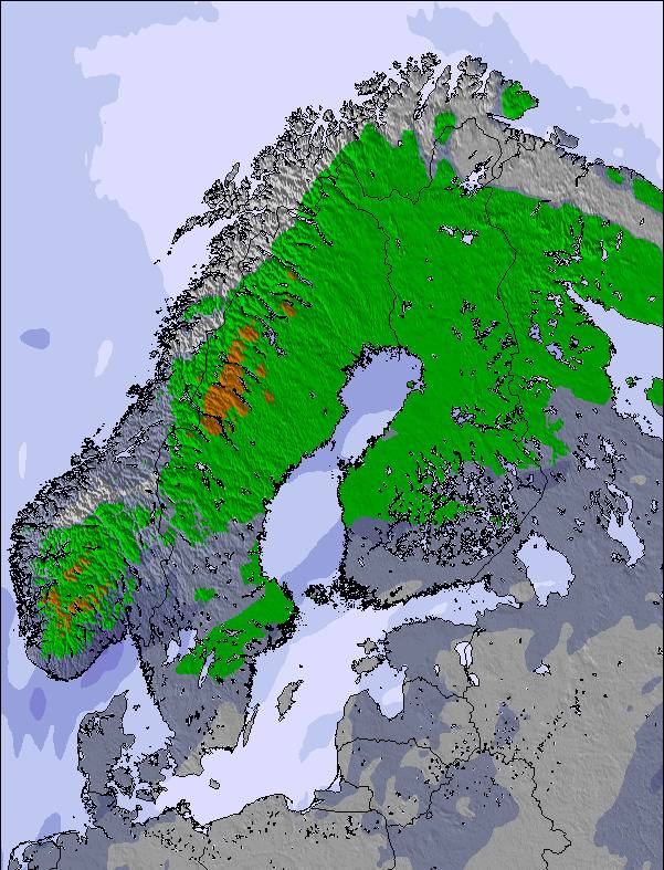
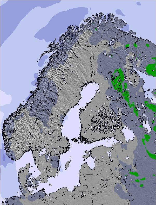
La tabella sopra da le previsioni meteo per Hemavan and Tärnaby a specifiche altezze 1312 m. I nostri sofisticati modelli meteo ci consentono di fornire previsioni neve per la vetta, l'area intermedia e a valle delle stazioni sciistiche di Hemavan and Tärnaby. Per accedere alle previsioni meteo ad altre altezze, per spostarti usa tab sopra la tabella. Per una visione meteo piu' ampia , controlla la mappa meteo di Sweden.
Clicca qui per leggere ulteriori informazioni sullo zero termico e il nostro sistema di prevedere le temperature.
Il nome della localita' è scritto anche come Hemavan and Tarnaby.
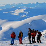
Recensioni dei visitatori di Hemavan and Tärnaby
Complessivamente 4.8 Basato su 11 voti e 2 recensioni
For beautiful nature,guaranteed snow and no large queues for the lifts,(Easter can be very hectic) I would recommend the small resorts of Tärnaby-Hemavan in Southern Lapland. Great runs, fantastic off-pist, heli-skiing, snowboarding, cross- country skiing and snow scooter paradise ! There's something for everyone .. even dog sledding ! Tärnaby is home of Alpine legends Ingemar Stenmark and Stig Strand, more recently, World Champion Anja Pärson. Best times to Ski - from February to end of April. However, November is great at the start of the season. It's a bit dark in December and January , but it's still a magical winter wonderland! Good New Years parties. For budget,comfortable accommodation with wonderful views check out www.TarnabyLapland.com . They're building a new Backpacker section ready for early 2006 season.
Complessivamente: 4.8 Basato su 11 voti e 2 recensioni
Snowsure
4.9
Varietà di piste
3.2
Fuoripista
5.0
Paesaggio
5.0
Apres-Ski
3.2
Sophia da Sweden scrive:
For beautiful nature,guaranteed snow and no large queues for the lifts,(Easter can be very hectic) I would recommend the small resorts of Tärnaby-Hemavan in Southern Lapland. Great runs, fantastic off-pist, heli-skiing, snowboarding, cross- country skiing and snow scooter paradise ! There's something for everyone .. even dog sledding ! Tärnaby is home of Alpine legends Ingemar Stenmark and Stig Strand, more recently, World Champion Anja Pärson. Best times to Ski - from February to end of April. However, November is great at the start of the season. It's a bit dark in December and January , but it's still a magical winter wonderland! Good New Years parties. For budget,comfortable accommodation with wonderful views check out www.TarnabyLapland.com . They're building a new Backpacker section ready for early 2006 season.
Gratis Snow-Forecast.com weather widget per il tho sito
Il Hemavan and Tärnaby widget meteo qui sotto è disponibile per essere incorporato su siti Web esterni a titolo gratuito. Esso fornisce un riepilogo giornaliero delle nostre Hemavan and Tärnaby previsioni meteo neve e dati meteo. Basta andare alla pagina di configurazione e seguire 3 semplici passi per prendere il codice html personalizzato ed incollarlo nel tuo sito. È possibile scegliere l'elevazione di previsione di neve (vetta, metà o piede della montagna) e l'unità metrica/imperiale per le previsioni meteo neve adeguata al proprio sito Web Clicca qui per ottenere il codice


 Nearest