

Portillo Storm Snowfall Total Passes 5m / 17 Feet
A snow storm that has now continued for nine days has taken Chilean ski resort Portillo to a snowfall total of 5.2 metres (17 feet) so far, with more snow forecast.

Next 4 days weather summary:Pioggia abbondante (totale 21.0mm), più pesante durante Giovedì mattina. Temperature moderate (max 14°C Giovedì pomeriggio, min 5°C Venerdì notte). Vento sarà generalmente leggero. | Giorni 5-7 Hemavan and Tärnaby sommario meteoPioggia abbondante (totale 37.0mm), più pesante durante Domenica notte. Temperature moderate (max 12°C Domenica pomeriggio, min 6°C Sabato notte). Vento sarà generalmente leggero. | |||||||||||||||
Giovedì 30 | Venerdì 31 | Sabato 1 | Domenica 2 | Lunedì 3 | ||||||||||||
notte | AM | PM | notte | AM | PM | notte | AM | PM | notte | AM | PM | notte | AM | PM | notte | |
rovesci pioggia | pioggia leggera | nuvol- oso | pioggia leggera | pioggia moderata | pioggia leggera | poche nuvole | nuvol- oso | pioggia leggera | pioggia leggera | nuvol- oso | pioggia leggera | forte pioggia | pioggia moderata | pioggia moderata | pioggia leggera | |
km/h | ||||||||||||||||
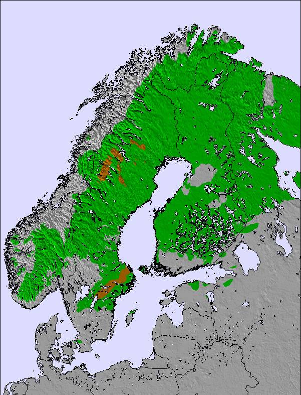
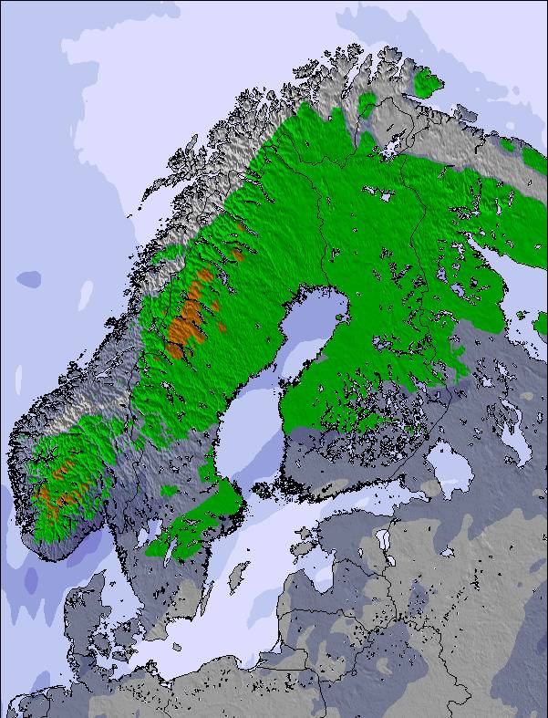
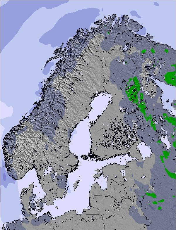
Mappa neve |  |  |  | 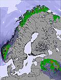 | 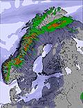 | 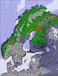 | ||||||||||
— | — | — | — | — | — | — | — | — | — | — | — | — | — | — | — | |
mm | 2 | 5 | — | 2 | 6 | 3 | — | — | 3 | 4 | — | 3 | 15 | 6 | 6 | 2 |
max °C | 13 | 10 | 14 | 14 | 12 | 9 | 8 | 10 | 11 | 10 | 10 | 12 | 9 | 7 | 7 | 7 |
min °C | 10 | 10 | 12 | 10 | 12 | 8 | 5 | 8 | 11 | 6 | 8 | 11 | 7 | 6 | 7 | 6 |
chill °C | 9 | 8 | 12 | 10 | 11 | 5 | 2 | 6 | 9 | 5 | 8 | 10 | 6 | 5 | 5 | 4 |
Umido. % | 76 | 96 | 76 | 78 | 99 | 92 | 82 | 73 | 76 | 87 | 80 | 79 | 96 | 93 | 96 | 94 |
Zero termico m | 2750 | 2850 | 2900 | 2850 | 2800 | 2000 | 1900 | 1900 | 2000 | 1950 | 1950 | 2100 | 1900 | 1900 | 2000 | 2000 |
— | 3:38 | — | — | 3:41 | — | — | 3:45 | — | — | 3:48 | — | — | 3:53 | — | — | |
— | — | — | 10:29 | — | — | 10:24 | — | — | 10:21 | — | — | 10:17 | — | — | 10:14 | |
Diventa pro e intaglia:
Informazioni valanghe: European Avalanche Warning Services (EAWS)
Gli ultimi report della neve vicino a Hemavan and Tärnaby:
| La profondità maggiore della neve é: | 0 cm |
|---|---|
| La profondità minore della neve é: | 0 cm |
| Fresh snowfall depth: | — |
| Quando ha nevicato l'ultima volta? | 5 Jul 2026 |
0.0 | Giorni neve fresca Neve fresca, prevalentemente soleggiato, vento debole. |
|---|---|
0.0 | Giorni neve fresca Fresh snow, limited sun, any wind. |
0.0 | Giorni Bluebird Neve media, prevalentemente soleggiato, vento debole. |

La tabella sopra da le previsioni meteo per Hemavan and Tärnaby a specifiche altezze 648 m. I nostri sofisticati modelli meteo ci consentono di fornire previsioni neve per la vetta, l'area intermedia e a valle delle stazioni sciistiche di Hemavan and Tärnaby. Per accedere alle previsioni meteo ad altre altezze, per spostarti usa tab sopra la tabella. Per una visione meteo piu' ampia , controlla la mappa meteo di Sweden.
Clicca qui per leggere ulteriori informazioni sullo zero termico e il nostro sistema di prevedere le temperature.
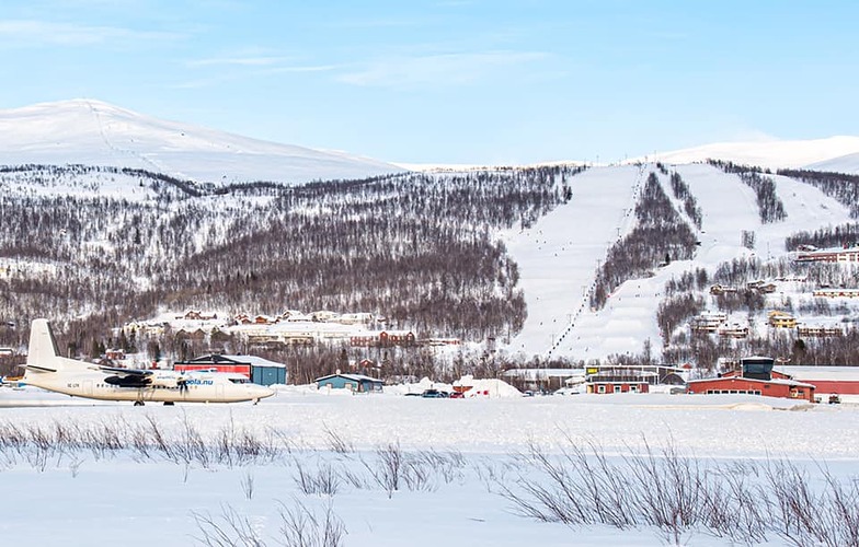
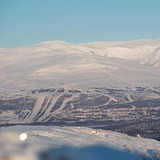
Il nome della localita' è scritto anche come Hemavan and Tarnaby.
Complessivamente 4.8 Basato su 11 voti e 2 recensioni
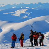
For beautiful nature,guaranteed snow and no large queues for the lifts,(Easter can be very hectic) I would recommend the small resorts of Tärnaby-Hemavan in Southern Lapland. Great runs, fantastic off-pist, heli-skiing, snowboarding, cross- country skiing and snow scooter paradise ! There's something for everyone .. even dog sledding ! Tärnaby is home of Alpine legends Ingemar Stenmark and Stig Strand, more recently, World Champion Anja Pärson. Best times to Ski - from February to end of April. However, November is great at the start of the season. It's a bit dark in December and January , but it's still a magical winter wonderland! Good New Years parties. For budget,comfortable accommodation with wonderful views check out www.TarnabyLapland.com . They're building a new Backpacker section ready for early 2006 season.
Sophia da Sweden scrive:
For beautiful nature,guaranteed snow and no large queues for the lifts,(Easter can be very hectic) I would recommend the small resorts of Tärnaby-Hemavan in Southern Lapland. Great runs, fantastic off-pist, heli-skiing, snowboarding, cross- country skiing and snow scooter paradise ! There's something for everyone .. even dog sledding ! Tärnaby is home of Alpine legends Ingemar Stenmark and Stig Strand, more recently, World Champion Anja Pärson. Best times to Ski - from February to end of April. However, November is great at the start of the season. It's a bit dark in December and January , but it's still a magical winter wonderland! Good New Years parties. For budget,comfortable accommodation with wonderful views check out www.TarnabyLapland.com . They're building a new Backpacker section ready for early 2006 season.
Leggi 1 più recensioni di Hemavan and Tärnaby o invia la tua

 Nearest