Publicato da Snow-Forecast.com a:7 am (ora locale) / 02 Aug 2026
Ultimi 6 giorniScorri a sinistra per gli ultimi 6 giorniOra
Next 3 days weather summary:
Pioggia abbondante (totale 22.0mm), più pesante durante Domenica notte. Temperature moderate (max 13°C Lunedì pomeriggio, min 9°C Domenica mattina). Vento sarà generalmente leggero.
Giorni 4-6 Grainau sommario meteo
Pioggia abbondante (totale 63.0mm), più pesante durante Giovedì pomeriggio. Temperature moderate (max 12°C Mercoledì pomeriggio, min 7°C Giovedì notte). Vento sarà generalmente leggero.
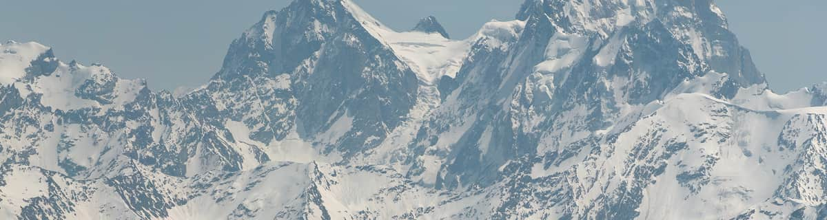
La tabella sopra da le previsioni meteo per Grainau a specifiche altezze 2831 m. I nostri sofisticati modelli meteo ci consentono di fornire previsioni neve per la vetta, l'area intermedia e a valle delle stazioni sciistiche di Grainau. Per accedere alle previsioni meteo ad altre altezze, per spostarti usa tab sopra la tabella. Per una visione meteo piu' ampia , controlla la mappa meteo di Germany.
Clicca qui per leggere ulteriori informazioni sullo zero termico e il nostro sistema di prevedere le temperature.
I have been to Grainau every year for the last 6 years and the prices never change. There's never a price rise. We pay around 70 euros a night for 4 people and if you try and find a cheaper room so close to a major ski area you're going to have a problem. Grainau is a small sleepy village 5 mins up the road from Garmisch and it's only a train ride away from the Zugspitze, the highest mountain in Germany. The skiing up there is amazing with crisp snow and the feeling of a true French Alpine resort. But you better get used to T-bars as that's pretty much all there is up there. The classic area is much more German with tree lined slopes, loud Euro pop coming out of Garmisher Hause and the millions spent on the lifts cable cars and snow makeing has made it all the better. Access to Grainau is suprisingly easy with Munich being only an hour drive and with it being right on the edge of the Alps there aren't any mountain passes to deal with.
I have been to Grainau every year for the last 6 years and the prices never change. There's never a price rise. We pay around 70 euros a night for 4 people and if you try and find a cheaper room so close to a major ski area you're going to have a problem. Grainau is a small sleepy village 5 mins up the road from Garmisch and it's only a train ride away from the Zugspitze, the highest mountain in Germany. The skiing up there is amazing with crisp snow and the feeling of a true French Alpine resort. But you better get used to T-bars as that's pretty much all there is up there. The classic area is much more German with tree lined slopes, loud Euro pop coming out of Garmisher Hause and the millions spent on the lifts cable cars and snow makeing has made it all the better. Access to Grainau is suprisingly easy with Munich being only an hour drive and with it being right on the edge of the Alps there aren't any mountain passes to deal with.
Gratis Snow-Forecast.com weather widget per il tho sito
Il Grainau widget meteo qui sotto è disponibile per essere incorporato su siti Web esterni a titolo gratuito. Esso fornisce un riepilogo giornaliero delle nostre Grainau previsioni meteo neve e dati meteo. Basta andare alla pagina di configurazione e seguire 3 semplici passi per prendere il codice html personalizzato ed incollarlo nel tuo sito. È possibile scegliere l'elevazione di previsione di neve (vetta, metà o piede della montagna) e l'unità metrica/imperiale per le previsioni meteo neve adeguata al proprio sito Web Clicca qui per ottenere il codice


 Nearest