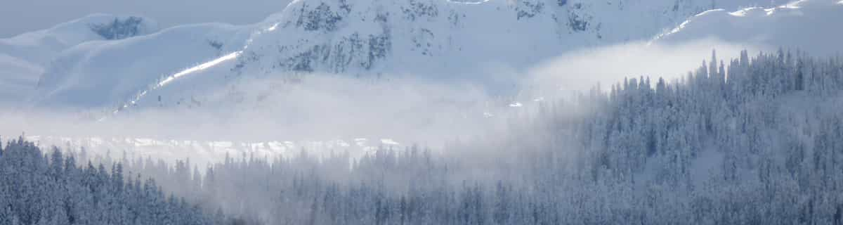


Portillo Storm Snowfall Total Passes 5m / 17 Feet
A snow storm that has now continued for nine days has taken Chilean ski resort Portillo to a snowfall total of 5.2 metres (17 feet) so far, with more snow forecast.

Next 4 days weather summary:Pioggia leggera (totale 2.0mm), per lo più che cade Venerdì pomeriggio. Temperature moderate (max 15°C Sabato mattina, min 12°C Mercoledì notte). Venti decrescenti (forte vento da NW Giovedì mattina, calma per Sabato pomeriggio). | Giorni 5-7 Chuo Alps Senjojiki sommario meteoPioggia abbondante (totale 21.0mm), più pesante durante Lunedì pomeriggio. Temperature moderate (max 14°C Sabato notte, min 13°C Domenica notte). Vento sarà generalmente leggero. | |||||||||||||||
Giovedì 30 | Venerdì 31 | Sabato 1 | Domenica 2 | Lunedì 3 | ||||||||||||
notte | AM | PM | notte | AM | PM | notte | AM | PM | notte | AM | PM | notte | AM | PM | notte | |
poche nuvole | poche nuvole | poche nuvole | poche nuvole | poche nuvole | rovesci pioggia | rovesci pioggia | limpido | poche nuvole | limpido | limpido | nuvol- oso | rovesci pioggia | rischio temporale | rischio temporale | rovesci pioggia | |
km/h | ||||||||||||||||
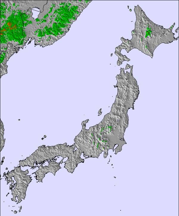
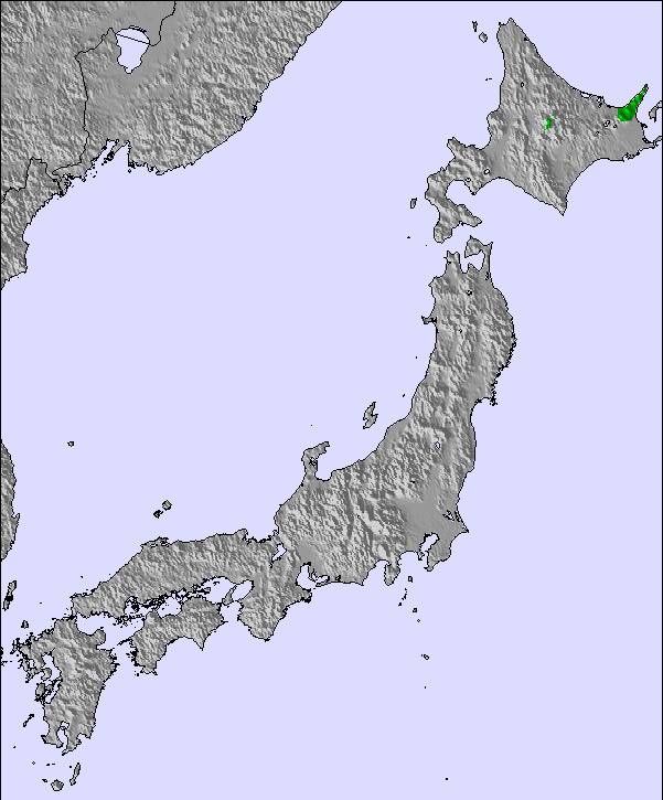
Mappa neve |  |  | 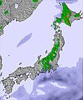 |  |  |  | ||||||||||
— | — | — | — | — | — | — | — | — | — | — | — | — | — | — | — | |
mm | — | — | — | — | — | 1 | 1 | — | — | — | — | — | 1 | 2 | 10 | 1 |
max °C | 12 | 13 | 13 | 14 | 14 | 14 | 14 | 15 | 14 | 14 | 14 | 14 | 14 | 14 | 14 | 14 |
min °C | 12 | 12 | 13 | 13 | 13 | 14 | 13 | 13 | 14 | 14 | 14 | 14 | 13 | 13 | 14 | 14 |
chill °C | 10 | 10 | 11 | 10 | 12 | 14 | 11 | 12 | 14 | 14 | 14 | 14 | 13 | 13 | 14 | 14 |
Umido. % | 74 | 55 | 80 | 65 | 55 | 85 | 75 | 47 | 71 | 51 | 51 | 84 | 80 | 78 | 86 | 76 |
Zero termico m | 4950 | 5050 | 4950 | 5150 | 5250 | 5200 | 5350 | 5550 | 5400 | 5600 | 5450 | 5350 | 5450 | 5350 | 5400 | 5500 |
— | 4:54 | — | — | 4:54 | — | — | 4:54 | — | — | 4:56 | — | — | 4:56 | — | — | |
— | — | 6:54 | — | — | 6:53 | — | — | 6:52 | — | — | 6:52 | — | — | 6:51 | — | |
Diventa pro e intaglia:
Informazioni valanghe: Japan Avalanche Network
Gli ultimi report della neve vicino a Chuo Alps Senjojiki:
| La profondità maggiore della neve é: | — |
|---|---|
| La profondità minore della neve é: | — |
| Fresh snowfall depth: | — |
| Quando ha nevicato l'ultima volta? | 13 May 2026 |
0.0 | Giorni neve fresca Neve fresca, prevalentemente soleggiato, vento debole. |
|---|---|
0.0 | Giorni neve fresca Fresh snow, limited sun, any wind. |
0.0 | Giorni Bluebird Neve media, prevalentemente soleggiato, vento debole. |
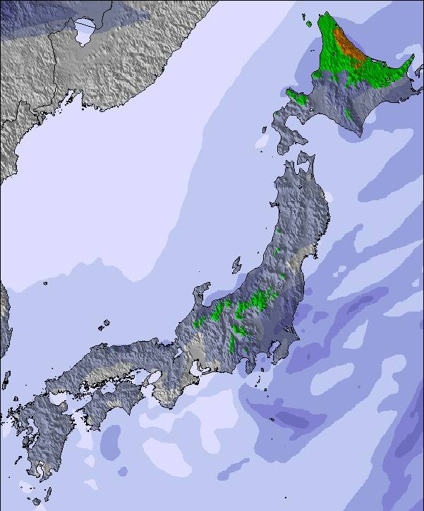
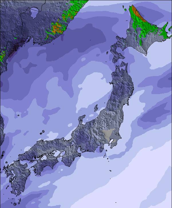
La tabella sopra da le previsioni meteo per Chuo Alps Senjojiki a specifiche altezze 2830 m. I nostri sofisticati modelli meteo ci consentono di fornire previsioni neve per la vetta, l'area intermedia e a valle delle stazioni sciistiche di Chuo Alps Senjojiki. Per accedere alle previsioni meteo ad altre altezze, per spostarti usa tab sopra la tabella. Per una visione meteo piu' ampia , controlla la mappa meteo di Japan.
Clicca qui per leggere ulteriori informazioni sullo zero termico e il nostro sistema di prevedere le temperature.

 Nearest