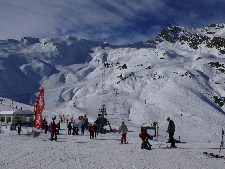


Portillo Storm Snowfall Total Passes 5m / 17 Feet
A snow storm that has now continued for nine days has taken Chilean ski resort Portillo to a snowfall total of 5.2 metres (17 feet) so far, with more snow forecast.

Next 3 days weather summary:Per lo più asciutto. Caldo (max 21°C Mercoledì pomeriggio, min 13°C Lunedì notte). Vento sarà generalmente leggero. | Giorni 4-6 Cauterets sommario meteoPioggia leggera (totale 5.0mm), per lo più che cade Venerdì notte. Caldo (max 20°C Giovedì pomeriggio, min 15°C Venerdì notte). Venti in aumento (venti deboli da SSW Giovedì notte, venti freschi da SW per Sabato mattina). | ||||||||||||||||
Lun 27 | Martedì 28 | Mercoledì 29 | Giovedì 30 | Venerdì 31 | Sabato 1 | ||||||||||||
PM | notte | AM | PM | notte | AM | PM | notte | AM | PM | notte | AM | PM | notte | AM | PM | notte | |
limpido | limpido | limpido | limpido | limpido | limpido | poche nuvole | limpido | limpido | limpido | limpido | poche nuvole | poche nuvole | rovesci pioggia | limpido | limpido | poche nuvole | |
km/h | |||||||||||||||||
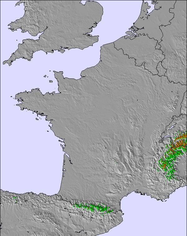
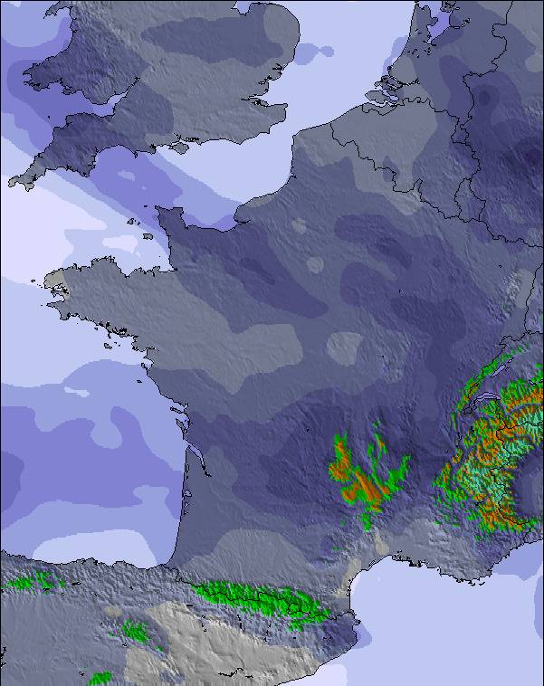
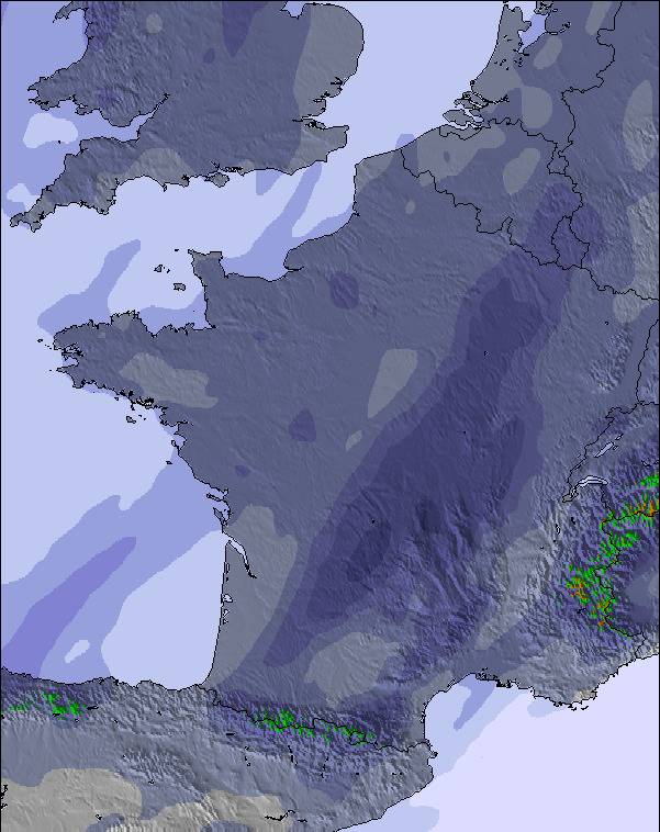
Mappa neve | 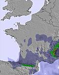 | 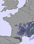 |  |  | 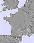 |  | |||||||||||
— | — | — | — | — | — | — | — | — | — | — | — | — | — | — | — | — | |
mm | — | — | — | — | — | — | — | — | — | — | — | — | — | 5 | — | — | — |
max °C | 14 | 14 | 16 | 18 | 17 | 19 | 21 | 20 | 19 | 20 | 19 | 19 | 20 | 16 | 16 | 17 | 16 |
min °C | 14 | 13 | 13 | 17 | 16 | 17 | 20 | 17 | 17 | 20 | 17 | 17 | 20 | 15 | 15 | 16 | 15 |
chill °C | 14 | 13 | 13 | 17 | 16 | 17 | 20 | 16 | 16 | 20 | 16 | 16 | 20 | 14 | 13 | 15 | 14 |
Umido. % | 60 | 48 | 38 | 40 | 36 | 29 | 33 | 39 | 30 | 36 | 42 | 30 | 33 | 44 | 43 | 45 | 43 |
Zero termico m | 4800 | 4800 | 4650 | 4800 | 4900 | 5000 | 5100 | 4950 | 4900 | 5000 | 4950 | 4800 | 4950 | 4900 | 4750 | 4800 | 4850 |
— | — | 6:46 | — | — | 6:47 | — | — | 6:48 | — | — | 6:48 | — | — | 6:50 | — | — | |
— | 9:27 | — | — | 9:25 | — | — | 9:24 | — | — | 9:23 | — | — | 9:22 | — | — | 9:22 | |
Diventa pro e intaglia:
Informazioni valanghe: European Avalanche Warning Services (EAWS)
Gli ultimi report della neve vicino a Cauterets:
| La profondità maggiore della neve é: | 0 cm |
|---|---|
| La profondità minore della neve é: | 0 cm |
| Fresh snowfall depth: | — |
| Quando ha nevicato l'ultima volta? | 17 May 2026 |
0.0 | Giorni neve fresca Neve fresca, prevalentemente soleggiato, vento debole. |
|---|---|
0.0 | Giorni neve fresca Fresh snow, limited sun, any wind. |
0.0 | Giorni Bluebird Neve media, prevalentemente soleggiato, vento debole. |
La tabella sopra da le previsioni meteo per Cauterets a specifiche altezze 2415 m. I nostri sofisticati modelli meteo ci consentono di fornire previsioni neve per la vetta, l'area intermedia e a valle delle stazioni sciistiche di Cauterets. Per accedere alle previsioni meteo ad altre altezze, per spostarti usa tab sopra la tabella. Per una visione meteo piu' ampia , controlla la mappa meteo di France.
Clicca qui per leggere ulteriori informazioni sullo zero termico e il nostro sistema di prevedere le temperature.
Complessivamente 3.9 Basato su 30 voti e 9 recensioni
I really like Cauterets. We've been on three separate occasions and skied two days of a week mixed with Luz-Ardiden, Bareges/La Mongie and Piau Engaly. What I particularly like about Cauterets (apart from the great snow) is that the bowl offers loads of in-bounds off-piste options without ever getting that far away from everyone. You can jump off the top ridge in many different places and choose lots of different routes down before joining marked runs. I think it's a great place to get into relatively safe off-piste skiing and learning how to set off into steeps.
Andy Eastham da United Kingdom scrive:
I really like Cauterets. We've been on three separate occasions and skied two days of a week mixed with Luz-Ardiden, Bareges/La Mongie and Piau Engaly. What I particularly like about Cauterets (apart from the great snow) is that the bowl offers loads of in-bounds off-piste options without ever getting that far away from everyone. You can jump off the top ridge in many different places and choose lots of different routes down before joining marked runs. I think it's a great place to get into relatively safe off-piste skiing and learning how to set off into steeps.

 Nearest