Publicato da Snow-Forecast.com a:1 am (ora locale) / 03 Aug 2026
Ultimi 6 giorniScorri a sinistra per gli ultimi 6 giorniOra
Next 3 days weather summary:
Pioggia moderata (totale 12.0mm), più pesante Mercoledì notte. Temperature moderate (max 17°C Lunedì mattina, min 12°C Mercoledì notte). Vento sarà generalmente leggero.
Giorni 4-6 Cauterets sommario meteo
Pioggia leggera (totale 8.0mm), per lo più che cade Giovedì mattina. Temperature moderate (max 18°C Venerdì pomeriggio, min 12°C Giovedì notte). Vento sarà generalmente leggero.
La tabella sopra da le previsioni meteo per Cauterets a specifiche altezze 2110 m. I nostri sofisticati modelli meteo ci consentono di fornire previsioni neve per la vetta, l'area intermedia e a valle delle stazioni sciistiche di Cauterets. Per accedere alle previsioni meteo ad altre altezze, per spostarti usa tab sopra la tabella. Per una visione meteo piu' ampia , controlla la mappa meteo di France.
Clicca qui per leggere ulteriori informazioni sullo zero termico e il nostro sistema di prevedere le temperature.
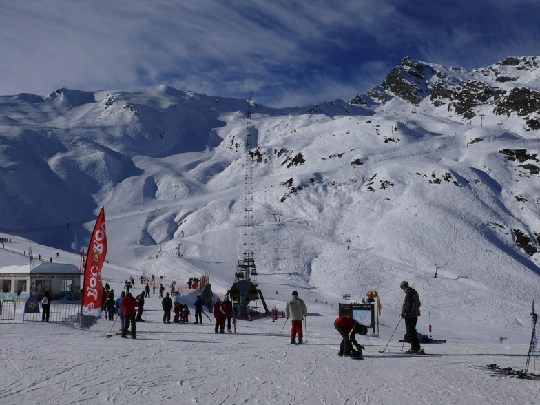
Recensioni dei visitatori di Cauterets
Complessivamente 3.9 Basato su 30 voti e 9 recensioni
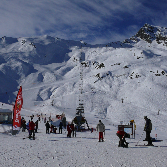
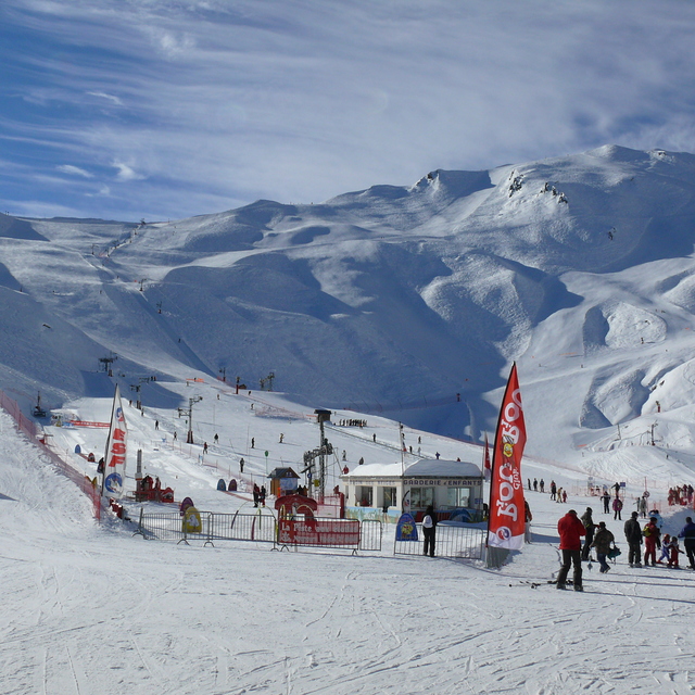
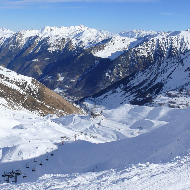
Cauterets is a family resort. We have been skiing here with our kids and extended family for 20 years. It’s an annual pilgrimage for generations of French families grand parents, parents, kids and toddlers. There’s not a lot to entertain teens/advanced alpine skiers either on or off piste unless you’re into the particularly superb cuisine of south west France, spa time, ice skating, snow shoeing, ski de fond or walking. Come to teach your kids or friends how to ski or board and you won’t be disappointed. If someone in your party can’t or doesn’t want to ski (?) neither will they, as this pretty Napoleonic spa town has plenty to keep them busy. Cauterets is a beautiful village (views over the Pyrenees up the mountain are stunning as well), no ugly concrete ski hotels here, for brutalist but stunning concrete and advanced skiing checkout Bond themed snow sure Piau Engalay. For a week, as a family holiday it’s a hidden gem!
Complessivamente: 3.9 Basato su 30 voti e 9 recensioni
Snowsure
4.1
Varietà di piste
3.6
Fuoripista
3.6
Paesaggio
4.6
Apres-Ski
3.5
Amal Pilendiram da United Kingdom scrive:
Cauterets is a family resort. We have been skiing here with our kids and extended family for 20 years. It’s an annual pilgrimage for generations of French families grand parents, parents, kids and toddlers. There’s not a lot to entertain teens/advanced alpine skiers either on or off piste unless you’re into the particularly superb cuisine of south west France, spa time, ice skating, snow shoeing, ski de fond or walking. Come to teach your kids or friends how to ski or board and you won’t be disappointed. If someone in your party can’t or doesn’t want to ski (?) neither will they, as this pretty Napoleonic spa town has plenty to keep them busy. Cauterets is a beautiful village (views over the Pyrenees up the mountain are stunning as well), no ugly concrete ski hotels here, for brutalist but stunning concrete and advanced skiing checkout Bond themed snow sure Piau Engalay. For a week, as a family holiday it’s a hidden gem!
Gratis Snow-Forecast.com weather widget per il tho sito
Il Cauterets widget meteo qui sotto è disponibile per essere incorporato su siti Web esterni a titolo gratuito. Esso fornisce un riepilogo giornaliero delle nostre Cauterets previsioni meteo neve e dati meteo. Basta andare alla pagina di configurazione e seguire 3 semplici passi per prendere il codice html personalizzato ed incollarlo nel tuo sito. È possibile scegliere l'elevazione di previsione di neve (vetta, metà o piede della montagna) e l'unità metrica/imperiale per le previsioni meteo neve adeguata al proprio sito Web Clicca qui per ottenere il codice


 Nearest