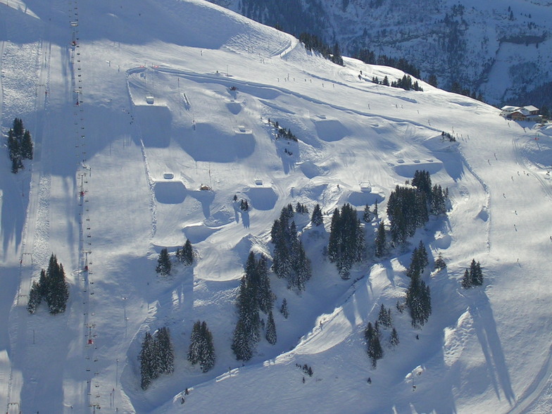


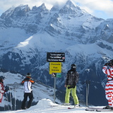
Portillo Storm Snowfall Total Passes 5m / 17 Feet
A snow storm that has now continued for nine days has taken Chilean ski resort Portillo to a snowfall total of 5.2 metres (17 feet) so far, with more snow forecast.

Next 4 days weather summary:Pioggia leggera (totale 2.0mm), per lo più che cade Domenica notte. Temperature moderate (max 18°C Mercoledì pomeriggio, min 8°C Domenica notte). Vento sarà generalmente leggero. | Giorni 5-7 Avoriaz sommario meteoQualche pioggerella, più pesante durante Venerdì notte. Caldo (max 22°C Venerdì pomeriggio, min 16°C Venerdì notte). Vento sarà generalmente leggero. | |||||||||||||||
Lunedì 27 | Martedì 28 | Mercoledì 29 | Giovedì 30 | Venerdì 31 | ||||||||||||
notte | AM | PM | notte | AM | PM | notte | AM | PM | notte | AM | PM | notte | AM | PM | notte | |
rovesci pioggia | poche nuvole | poche nuvole | limpido | limpido | limpido | poche nuvole | limpido | limpido | limpido | limpido | limpido | poche nuvole | limpido | poche nuvole | rovesci pioggia | |
km/h | ||||||||||||||||
Mappa neve |  |  |  |  |  |  | ||||||||||
— | — | — | — | — | — | — | — | — | — | — | — | — | — | — | — | |
mm | 2 | — | — | — | — | — | — | — | — | — | — | — | — | — | — | 1 |
max °C | 9 | 11 | 13 | 13 | 15 | 17 | 16 | 16 | 18 | 18 | 19 | 21 | 21 | 20 | 22 | 20 |
min °C | 8 | 8 | 13 | 13 | 13 | 17 | 15 | 15 | 17 | 17 | 18 | 20 | 19 | 19 | 21 | 16 |
chill °C | 7 | 7 | 13 | 13 | 13 | 17 | 15 | 15 | 17 | 17 | 18 | 20 | 19 | 19 | 21 | 15 |
Umido. % | 77 | 52 | 50 | 46 | 38 | 53 | 65 | 49 | 48 | 39 | 33 | 34 | 38 | 33 | 40 | 50 |
Zero termico m | 3500 | 4200 | 4400 | 4750 | 4750 | 4650 | 4550 | 4450 | 4550 | 4700 | 4750 | 4800 | 4800 | 4800 | 4800 | 4700 |
— | 6:07 | — | — | 6:09 | — | — | 6:09 | — | — | 6:11 | — | — | 6:11 | — | — | |
— | — | — | 9:09 | — | — | 9:07 | — | — | 9:07 | — | — | 9:06 | — | — | 9:05 | |
Diventa pro e intaglia:
Informazioni valanghe: European Avalanche Warning Services (EAWS)
Gli ultimi report della neve vicino a Avoriaz:
| La profondità maggiore della neve é: | 0 cm |
|---|---|
| La profondità minore della neve é: | 0 cm |
| Fresh snowfall depth: | — |
| Quando ha nevicato l'ultima volta? | 16 May 2026 |
0.0 | Giorni neve fresca Neve fresca, prevalentemente soleggiato, vento debole. |
|---|---|
0.1 | Giorni neve fresca Fresh snow, limited sun, any wind. |
0.0 | Giorni Bluebird Neve media, prevalentemente soleggiato, vento debole. |
La tabella sopra da le previsioni meteo per Avoriaz a specifiche altezze 2254 m. I nostri sofisticati modelli meteo ci consentono di fornire previsioni neve per la vetta, l'area intermedia e a valle delle stazioni sciistiche di Avoriaz. Per accedere alle previsioni meteo ad altre altezze, per spostarti usa tab sopra la tabella. Per una visione meteo piu' ampia , controlla la mappa meteo di France.
Clicca qui per leggere ulteriori informazioni sullo zero termico e il nostro sistema di prevedere le temperature.
Complessivamente 4.2 Basato su 63 voti e 43 recensioni
The skiing center absolutely cannot handle the capacity of people. There is nowhere to eat, poor service, no services in the evening except for a couple of bars, the slopes are crowded. I do not recommend.
David da Czechia scrive:
The skiing center absolutely cannot handle the capacity of people. There is nowhere to eat, poor service, no services in the evening except for a couple of bars, the slopes are crowded. I do not recommend.


 Nearest