comScore pixel
Neve della stazione sciistica Argentiere
Sci France

Argentiere Previsioni Neve

45.98° N 6.93° E

Previsione Meteo per Argentiere 2264 m altitudine

Prossima neve a Argentiere:
3.5 cm il Gio 12
Emesso:
12 pm 11 Nov 2026 (ora locale)
Previsione neve aggiornata in:
 ora  min
Ultimi 6 giorniScorri a sinistra per gli ultimi 6 giorniOra
Mercoledì
11
Giovedì
12
Venerdì
13
Sabato
14
Domenica
15
Lunedì
16
AM
PM
notte
AM
PM
notte
AM
PM
notte
AM
PM
notte
AM
PM
notte
AM
PM
notte
light rain
mod rain
light rain
light rain
mod snow
mod snow
part cloud
clear
clear
part cloud
part cloud
light snow
light snow
snow showers
part cloud
cloud
light snow
light rain
pioggia leggera
pioggia moderata
pioggia leggera
pioggia leggera
neve
mod.
neve
mod.
poche nuvole
limp­ido
limp­ido
poche nuvole
poche nuvole
neve
leggera
neve
leggera
rovesci
neve
poche nuvole
nuvol-
oso
neve
leggera
pioggia leggera
km/h
10
SSW
15
SW
10
SSW
10
SE
5
ESE
10
NNW
10
N
10
NNE
0
ESE
5
SSW
5
S
5
S
5
S
10
WSW
10
SSW
15
SSW
15
SSW
10
SW
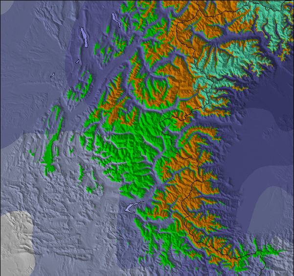
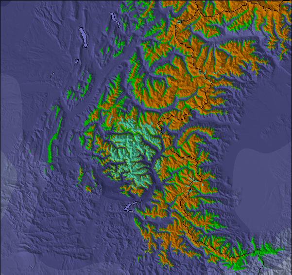
Mappa
neve
Snow map
Snow map
Snow map
Snow map
Snow map
Snow map
Snowflake cm
—
—
—
—
5
6
—
—
—
—
—
—
—
1
—
—
1
—
 mm
4
7
1
5
—
—
—
—
—
—
—
—
—
—
—
—
—
5
max °C
3
3
4
2
2
0
0
0
-1
2
1
-1
-1
0
1
3
1
4
min °C
3
3
2
2
1
-1
-1
-1
-1
1
-1
-2
-1
0
-1
2
1
3
 chill °C
1
-1
0
0
0
-4
-5
-4
-3
1
-4
-5
-4
-3
-4
-2
-4
0
Umido. %
94
94
72
94
98
99
53
40
24
27
45
51
73
96
58
45
67
90
Zero termico m
2800
2800
3050
2650
2600
2250
2100
2200
1450
2550
2450
1750
2100
2250
2150
2850
2550
2950
Sea lvl1000m2000m3000m4000m5000m
-3-3-2-3-4-6-6-5-4-5-5-6-5-6-5-2-4-19987653-1-2731452657
Alba
7:26
—
—
7:26
—
—
7:28
—
—
7:30
—
—
7:31
—
—
7:33
—
—
Tramonto
—
5:05
—
—
5:04
—
—
5:02
—
—
5:01
—
—
5:00
—
—
5:00
—

Next 3 days weather summary:

Pioggia moderata (totale 17.0mm), heaviest Mercoledì pomeriggio moderata nevicata, più pesante Giovedì pomeriggio. Condizioni di gelo e disgelo (max 4°C Mercoledì notte, min -1°C Giovedì notte). Vento sarà generalmente leggero.

Giorni 4-6 Argentiere sommario meteo

Una spolverata di neve diventa pioggia leggera (totale 5.0mm) Lunedì notte. Condizioni di gelo e disgelo (max 4°C Lunedì notte, min -2°C Sabato notte). Vento sarà generalmente leggero.

  • Circle CheckPrevisioni neve orarie e a 16 giorni
  • Circle CheckVedi il meteo passato
  • Circle CheckNavigazione veloce senza pubblicità
  • Circle CheckPrevisioni passate e Storia della neve
Sblocca l'app e il sito

Radar Neve

Invia un report Eyeball Reporter

Gli ultimi report della neve vicino a Argentiere:

  • 40 km Assente da Argentiere

    2 hours fa
    weather station observation

    Moderate rain reported from Sion at 339 metres elevation only 2 kms NW of Veysonnaz-Printse but it is forecast cold enough for snow at higher elevations in the ski area da Veysonnaz-Printse

  • 37 km Assente da Argentiere

    4 hours fa
    weather station observation

    Light rain reported from Sion at 339 metres elevation only 4 kms NNE of Haute Nendaz but it is forecast cold enough for snow at higher elevations in the ski area da Haute Nendaz

  • 40 km Assente da Argentiere

    7 hours fa
    weather station observation

    Light rain reported from Sion at 339 metres elevation 5 kms WNW of Thyon-Printze but it is forecast cold enough for snow at higher elevations in the ski area da Thyon-Printze

  • 33 km Assente da Argentiere

    23 hours fa
    Eyeball reporter

    Resort not yet open. Very mild weather, thaw threatening. da La Giettaz en Aravis

Argentiere Condizioni della neve

La profondità maggiore della neve é:—
La profondità minore della neve é:—
Fresh snowfall depth:—
Quando ha nevicato l'ultima volta? 6 Nov 2026
Altre località in France stanno segnalando: neve fresca (0) / buona pista (0)

Snow-Forecast Partner Offers

Storia della neve

Settimana 2 di November ha in media:

0.7
Giorni neve fresca
Neve fresca, prevalentemente soleggiato, vento debole.
1.1
Giorni neve fresca
Fresh snow, limited sun, any wind.
0.4
Giorni Bluebird
Neve media, prevalentemente soleggiato, vento debole.

Find Your Trip

Map placeholder