

America’s Next Indoor Snow Centre Takes Shape
Construction of a new indoor snow centre for skiers, boarders and tubers appears to be making good progress at Heritage Farm in Wayne County, West Virginia.

Next 3 days weather summary:Pioggia leggera (totale 9.0mm), per lo più che cade Giovedì pomeriggio. Caldo (max 22°C Sabato mattina, min 10°C Giovedì notte). Vento sarà generalmente leggero. | Giorni 4-6 Lungötz sommario meteoPioggia abbondante (totale 23.0mm), più pesante durante Domenica mattina. Caldo (max 27°C Sabato pomeriggio, min 15°C Domenica notte). Vento sarà generalmente leggero. | ||||||||||||||||
Mer 22 | Giovedì 23 | Venerdì 24 | Sabato 25 | Domenica 26 | Lunedì 27 | ||||||||||||
PM | notte | AM | PM | notte | AM | PM | notte | AM | PM | notte | AM | PM | notte | AM | PM | notte | |
limpido | poche nuvole | pioggia leggera | rischio temporale | rovesci pioggia | limpido | limpido | limpido | poche nuvole | limpido | rovesci pioggia | pioggia moderata | pioggia leggera | pioggia leggera | rovesci pioggia | rovesci pioggia | rovesci pioggia | |
km/h | |||||||||||||||||
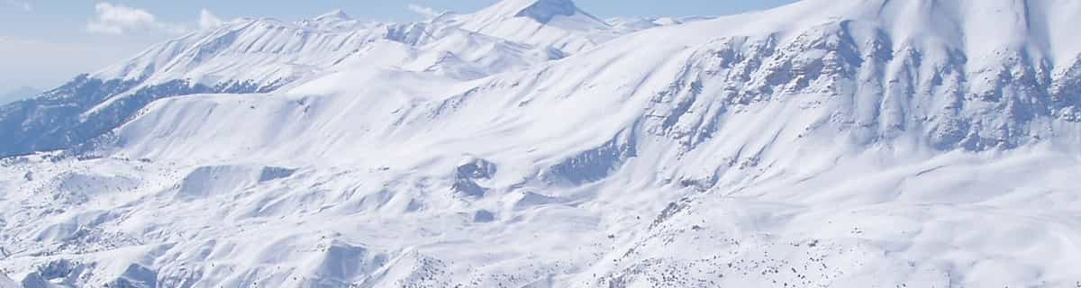
Mappa neve |  |  |  |  |  |  | |||||||||||
— | — | — | — | — | — | — | — | — | — | — | — | — | — | — | — | — | |
mm | — | — | 2 | 4 | 3 | — | — | — | — | — | 1 | 9 | 4 | 5 | 2 | 1 | 1 |
max °C | 20 | 17 | 14 | 17 | 14 | 16 | 21 | 18 | 22 | 27 | 23 | 17 | 19 | 16 | 17 | 22 | 18 |
min °C | 19 | 13 | 13 | 16 | 10 | 12 | 20 | 13 | 17 | 26 | 17 | 17 | 17 | 15 | 16 | 20 | 16 |
chill °C | 19 | 13 | 13 | 16 | 10 | 12 | 20 | 12 | 17 | 26 | 17 | 17 | 17 | 15 | 16 | 20 | 16 |
Umido. % | 37 | 71 | 81 | 74 | 86 | 53 | 32 | 62 | 42 | 28 | 75 | 87 | 88 | 83 | 86 | 59 | 90 |
Zero termico m | 3150 | 3000 | 2900 | 3000 | 2700 | 2950 | 3350 | 3750 | 3900 | 4200 | 4050 | 3450 | 3500 | 3500 | 3500 | 3900 | 4100 |
— | — | 5:33 | — | — | 5:33 | — | — | 5:35 | — | — | 5:37 | — | — | 5:37 | — | — | |
— | 8:52 | — | — | 8:52 | — | — | 8:51 | — | — | 8:50 | — | — | 8:49 | — | — | 8:46 | |
Diventa pro e intaglia:
Informazioni valanghe: European Avalanche Warning Services (EAWS)
Gli ultimi report della neve vicino a Lungötz:
| La profondità maggiore della neve é: | — |
|---|---|
| La profondità minore della neve é: | — |
| Fresh snowfall depth: | — |
| Quando ha nevicato l'ultima volta? | 31 Mar 2026 |
0.0 | Giorni neve fresca Neve fresca, prevalentemente soleggiato, vento debole. |
|---|---|
0.0 | Giorni neve fresca Fresh snow, limited sun, any wind. |
0.0 | Giorni Bluebird Neve media, prevalentemente soleggiato, vento debole. |
La tabella sopra da le previsioni meteo per Lungötz a specifiche altezze 814 m. I nostri sofisticati modelli meteo ci consentono di fornire previsioni neve per la vetta, l'area intermedia e a valle delle stazioni sciistiche di Lungötz. Per accedere alle previsioni meteo ad altre altezze, per spostarti usa tab sopra la tabella. Per una visione meteo piu' ampia , controlla la mappa meteo di Austria.
Clicca qui per leggere ulteriori informazioni sullo zero termico e il nostro sistema di prevedere le temperature.
Il nome della localita' è scritto anche come Lungotz.
Annaberg (Annaberg-Lungötz) is a quaint village adjoined to the Dachstein West Ski Region which has over 140 km of groomed slopes connecting it to the villages of Russbach & Gosau. The ski area is quite stunning with views of the Hoher Dachstein, at 3004m, and it's glacier and lake below. It has a new ski school and slopes to suit people of all abilities. A family friendly resort which offers some superb off-piste, border parks & 130km of cross-country ski trails. This ski area is a hidden gem to which many visitors return year after year.
Louise Dunn da Austria scrive:
Annaberg (Annaberg-Lungötz) is a quaint village adjoined to the Dachstein West Ski Region which has over 140 km of groomed slopes connecting it to the villages of Russbach & Gosau. The ski area is quite stunning with views of the Hoher Dachstein, at 3004m, and it's glacier and lake below. It has a new ski school and slopes to suit people of all abilities. A family friendly resort which offers some superb off-piste, border parks & 130km of cross-country ski trails. This ski area is a hidden gem to which many visitors return year after year.


 Nearest