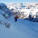
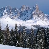
 Sci Italy
-

2:54 pm 25 Jan 2013
-

2:43 pm 8 Dec 2012
-
-
1:41 pm 12 Feb 2014
Find Your Trip
Italy: raccolta delle ultime condizioni dela neve
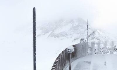
Summary of forecast snowfall and ski conditions for resorts in Italy. Fresh snow is forecast at 2 resorts. Powder is reported at 0 resorts and 0 are reporting good piste conditions.

Ski resorts in Italy from V to Z


|
|||||||||||||||||||||||||||||||||||||
|---|---|---|---|---|---|---|---|---|---|---|---|---|---|---|---|---|---|---|---|---|---|---|---|---|---|---|---|---|---|---|---|---|---|---|---|---|---|
| Località turistica |

|
altezza neve in cima e a valle |
 sulle piste |
 fuori pista |
 ultima nevicata |
next 9 giorni 0–3 | 3–6 | 6–9 neve (cm) |
 Prossimo7 giorni di previsioni meteo.
Livello di congelamento (m) |
||||||||||||||||||||||||||||||
| Mon | Tue | Wed | Thu | Fri | Sat | Sun | |||||||||||||||||||||||||||||||
|
(1505 m — 2625 m) snow report 2 giorni fa |

|
|
|
||||||||||||||||||||||||||||||||||
|
(730 m — 2145 m) |
|
|
|||||||||||||||||||||||||||||||||||
|
(2000 m — 3200 m) snow report ieri |
|
|
|
||||||||||||||||||||||||||||||||||
|
(1100 m — 2275 m) |
|
|
|||||||||||||||||||||||||||||||||||
|
(1385 m — 2484 m) |
|
|
|||||||||||||||||||||||||||||||||||
|
(1664 m — 2050 m) |
|
|
|||||||||||||||||||||||||||||||||||
|
(800 m — 2064 m) |
|
|
|||||||||||||||||||||||||||||||||||
|
(1340 m — 2010 m) |
|
|
|||||||||||||||||||||||||||||||||||
|
(950 m — 2400 m) |
|
|
|||||||||||||||||||||||||||||||||||
|
(1390 m — 2000 m) snow report ieri |
|
|
|
||||||||||||||||||||||||||||||||||
|
(950 m — 2200 m) |
|
|
|||||||||||||||||||||||||||||||||||

 Nearest