Ultimi 6 giorniScorri a sinistra per gli ultimi 6 giorniOra
Next 3 days weather summary:
Pioggia leggera (totale 4.0mm) All'inizio, poi diventa più freddo con una spolverata di neve Lunedì notte. Condizioni di gelo e disgelo (max 4°C Lunedì pomeriggio, min -2°C Martedì mattina). Vento sarà generalmente leggero.
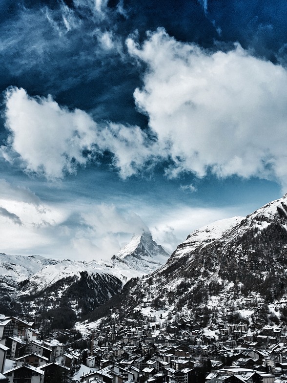
Giorni 4-6 Zermatt sommario meteo
Per lo più asciutto. Condizioni di gelo e disgelo (max 1°C Mercoledì pomeriggio, min -7°C Giovedì pomeriggio). Venti in aumento (venti deboli da NW Mercoledì pomeriggio, venti freschi dalla N per Giovedì notte).
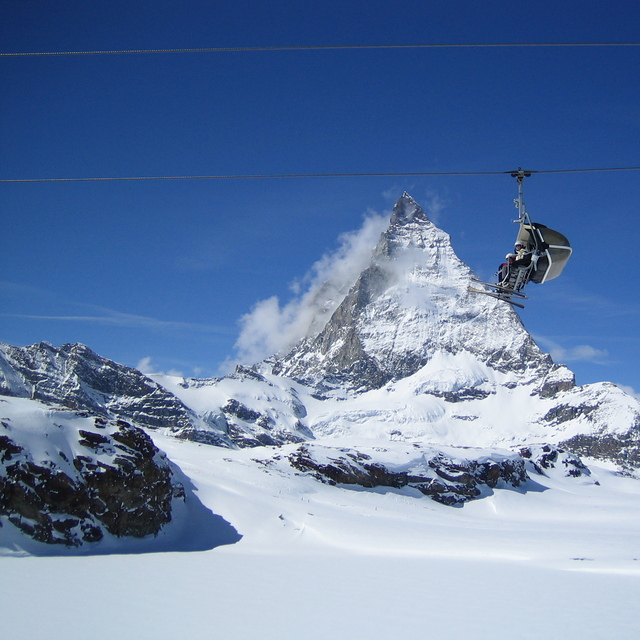
La tabella sopra da le previsioni meteo per Zermatt a specifiche altezze 3820 m. I nostri sofisticati modelli meteo ci consentono di fornire previsioni neve per la vetta, l'area intermedia e a valle delle stazioni sciistiche di Zermatt. Per accedere alle previsioni meteo ad altre altezze, per spostarti usa tab sopra la tabella. Per una visione meteo piu' ampia , controlla la mappa meteo di Switzerland.
Clicca qui per leggere ulteriori informazioni sullo zero termico e il nostro sistema di prevedere le temperature.
Recensioni dei visitatori di Zermatt
Complessivamente 4.1 Basato su 92 voti e 72 recensioni
I have read many glowing reports about Zermatt, focussing on the quality of the pistes, the scenery and the lift systems. Whilst I really enjoyed skiing here a couple of downsides are not mentioned. First, it takes a long time to access the pistes via bus and then lift system can take up to an hour. If you are an average intermediate then skiing back to resort is not an option so the runs are heavily limited. Secondly, in early season until end Jan the lifts close around 3.30 pm, which means a short day, making catching the last lift to the top a real necessity. I would recommend it with these caveats but go with open eyes so as not to be short changed.
Complessivamente: 4.1 Basato su 92 voti e 72 recensioni
Snowsure
4.6
Varietà di piste
4.7
Fuoripista
4.1
Paesaggio
4.9
Apres-Ski
4.3
Julian Davis da Switzerland scrive:
I have read many glowing reports about Zermatt, focussing on the quality of the pistes, the scenery and the lift systems. Whilst I really enjoyed skiing here a couple of downsides are not mentioned. First, it takes a long time to access the pistes via bus and then lift system can take up to an hour. If you are an average intermediate then skiing back to resort is not an option so the runs are heavily limited. Secondly, in early season until end Jan the lifts close around 3.30 pm, which means a short day, making catching the last lift to the top a real necessity. I would recommend it with these caveats but go with open eyes so as not to be short changed.
Gratis Snow-Forecast.com weather widget per il tho sito
Il Zermatt widget meteo qui sotto è disponibile per essere incorporato su siti Web esterni a titolo gratuito. Esso fornisce un riepilogo giornaliero delle nostre Zermatt previsioni meteo neve e dati meteo. Basta andare alla pagina di configurazione e seguire 3 semplici passi per prendere il codice html personalizzato ed incollarlo nel tuo sito. È possibile scegliere l'elevazione di previsione di neve (vetta, metà o piede della montagna) e l'unità metrica/imperiale per le previsioni meteo neve adeguata al proprio sito Web Clicca qui per ottenere il codice


 Nearest