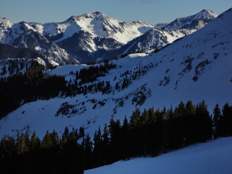
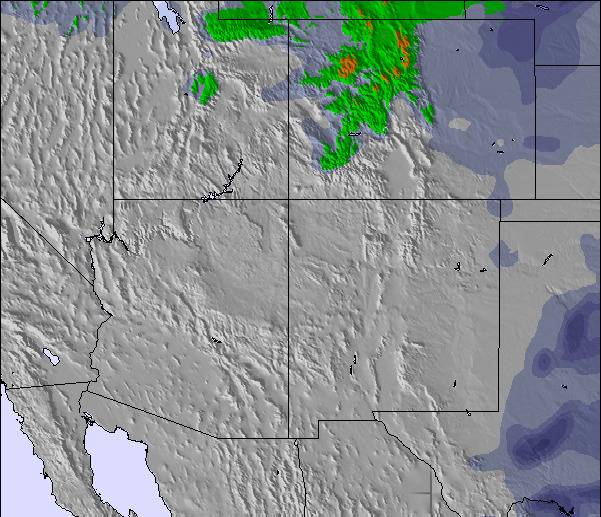
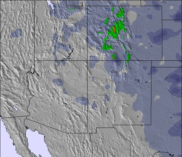
La tabella sopra da le previsioni meteo per Wolf Creek Ski Area a specifiche altezze 3384 m. I nostri sofisticati modelli meteo ci consentono di fornire previsioni neve per la vetta, l'area intermedia e a valle delle stazioni sciistiche di Wolf Creek Ski Area. Per accedere alle previsioni meteo ad altre altezze, per spostarti usa tab sopra la tabella. Per una visione meteo piu' ampia , controlla la mappa meteo di United States.
Clicca qui per leggere ulteriori informazioni sullo zero termico e il nostro sistema di prevedere le temperature.
Recensioni dei visitatori di Wolf Creek Ski Area
Complessivamente 3.3 Basato su 15 voti e 3 recensioni
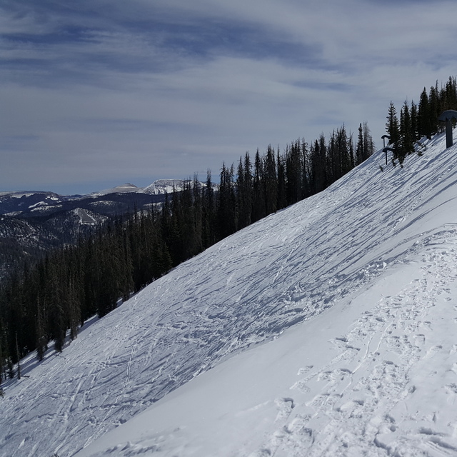
Rode Wolfy (Wolf Creek Ski Area) w/ 24"+ and the snow was gorgeous: light, deep, and fun. The top of the entire mountain is a great playground with easy hikes to sick terrain, anything from steep glades to fun cornices to gnarly cliff hucks. But after the first 600-800 vertical feet, it becomes quite shallow in pitch and there are tons of holes or "flat-tracks". Not such a big deal for skiers but boarders are constantly skating to make it back to the lift.
The glades below the rim can be fun if you keep your speed up, but considering they get the killer POW often you really have to work it, and there is no getting around the 'flat-tracks' to get you back to the lift. The Waterfall area is below the rim and has some great features but again, you will be skating or hiking out.
Great snow, some great terrain, but overall lacking in a consistent vert and steep pitch to keep you smiling from top to bottom, the smile fades the further down the hill you go (unless you drop into the Waterfall area, but then it fades quickly as you hike/skate out of a hole). Cat tracks should now go uphill, and several here do.
Not whining, just speaking as I find. Too much work to get out of runs, and if you don't hike the ridge it wouldn't be worth it IMHO.
Complessivamente: 3.3 Basato su 15 voti e 3 recensioni
Snowsure
4.2
Varietà di piste
4.5
Fuoripista
4.2
Paesaggio
3.6
Apres-Ski
3.4
snowavedave da United States scrive:
Rode Wolfy (Wolf Creek Ski Area) w/ 24"+ and the snow was gorgeous: light, deep, and fun. The top of the entire mountain is a great playground with easy hikes to sick terrain, anything from steep glades to fun cornices to gnarly cliff hucks. But after the first 600-800 vertical feet, it becomes quite shallow in pitch and there are tons of holes or "flat-tracks". Not such a big deal for skiers but boarders are constantly skating to make it back to the lift.
The glades below the rim can be fun if you keep your speed up, but considering they get the killer POW often you really have to work it, and there is no getting around the 'flat-tracks' to get you back to the lift. The Waterfall area is below the rim and has some great features but again, you will be skating or hiking out.
Great snow, some great terrain, but overall lacking in a consistent vert and steep pitch to keep you smiling from top to bottom, the smile fades the further down the hill you go (unless you drop into the Waterfall area, but then it fades quickly as you hike/skate out of a hole). Cat tracks should now go uphill, and several here do.
Not whining, just speaking as I find. Too much work to get out of runs, and if you don't hike the ridge it wouldn't be worth it IMHO.
Gratis Snow-Forecast.com weather widget per il tho sito
Il Wolf Creek Ski Area widget meteo qui sotto è disponibile per essere incorporato su siti Web esterni a titolo gratuito. Esso fornisce un riepilogo giornaliero delle nostre Wolf Creek Ski Area previsioni meteo neve e dati meteo. Basta andare alla pagina di configurazione e seguire 3 semplici passi per prendere il codice html personalizzato ed incollarlo nel tuo sito. È possibile scegliere l'elevazione di previsione di neve (vetta, metà o piede della montagna) e l'unità metrica/imperiale per le previsioni meteo neve adeguata al proprio sito Web Clicca qui per ottenere il codice


 Nearest