


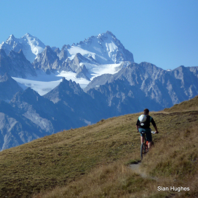
Portillo Re-Opens To Guests Arriving By Helicopter
Chile’s famous Portillo ski resort is reported to have re-opened to guests arriving by helicopter after being cut off by road for more than two weeks by over 6m/20 feet of snowfall.

Next 3 days weather summary:Pioggia abbondante (totale 25.0mm), più pesante durante Lunedì notte. Temperature moderate (max 17°C Lunedì pomeriggio, min 11°C Mercoledì mattina). Vento sarà generalmente leggero. | Giorni 4-6 Verbier sommario meteoPioggia moderata (totale 19.0mm), più pesante Giovedì pomeriggio. Temperature moderate (max 14°C Giovedì pomeriggio, min 10°C Giovedì notte). Vento sarà generalmente leggero. | ||||||||||||||||
Lun 3 | Martedì 4 | Mercoledì 5 | Giovedì 6 | Venerdì 7 | Sabato 8 | ||||||||||||
PM | notte | AM | PM | notte | AM | PM | notte | AM | PM | notte | AM | PM | notte | AM | PM | notte | |
rischio temporale | rovesci pioggia | limpido | rischio temporale | rovesci pioggia | limpido | rischio temporale | rovesci pioggia | limpido | pioggia moderata | rovesci pioggia | poche nuvole | rischio temporale | rovesci pioggia | limpido | rovesci pioggia | limpido | |
km/h | |||||||||||||||||
Mappa neve |  |  |  |  |  |  | |||||||||||
— | — | — | — | — | — | — | — | — | — | — | — | — | — | — | — | — | |
mm | 1 | 7 | — | 4 | 6 | — | 4 | 3 | — | 8 | 7 | — | 2 | 1 | — | 1 | — |
max °C | 17 | 13 | 14 | 16 | 13 | 13 | 14 | 12 | 14 | 14 | 10 | 11 | 12 | 11 | 12 | 14 | 13 |
min °C | 16 | 12 | 13 | 14 | 12 | 11 | 13 | 12 | 12 | 11 | 10 | 10 | 12 | 10 | 10 | 13 | 12 |
chill °C | 16 | 11 | 12 | 14 | 12 | 11 | 13 | 12 | 12 | 10 | 10 | 10 | 12 | 10 | 10 | 13 | 12 |
Umido. % | 60 | 70 | 58 | 68 | 71 | 73 | 83 | 61 | 58 | 92 | 78 | 65 | 81 | 70 | 64 | 62 | 57 |
Zero termico m | 4550 | 4500 | 4450 | 4500 | 4450 | 4350 | 4350 | 4450 | 4350 | 4200 | 4150 | 4100 | 4150 | 4250 | 4200 | 4350 | 4450 |
— | — | 6:15 | — | — | 6:16 | — | — | 6:18 | — | — | 6:18 | — | — | 6:20 | — | — | |
— | 8:59 | — | — | 8:57 | — | — | 8:55 | — | — | 8:53 | — | — | 8:52 | — | — | 8:51 | |
Diventa pro e intaglia:
Informazioni valanghe: European Avalanche Warning Services (EAWS)
Gli ultimi report della neve vicino a Verbier:
| La profondità maggiore della neve é: | 0 cm |
|---|---|
| La profondità minore della neve é: | 0 cm |
| Fresh snowfall depth: | — |
| Quando ha nevicato l'ultima volta? | 10 Jun 2026 |
0.0 | Giorni neve fresca Neve fresca, prevalentemente soleggiato, vento debole. |
|---|---|
0.0 | Giorni neve fresca Fresh snow, limited sun, any wind. |
0.0 | Giorni Bluebird Neve media, prevalentemente soleggiato, vento debole. |

La tabella sopra da le previsioni meteo per Verbier a specifiche altezze 2415 m. I nostri sofisticati modelli meteo ci consentono di fornire previsioni neve per la vetta, l'area intermedia e a valle delle stazioni sciistiche di Verbier. Per accedere alle previsioni meteo ad altre altezze, per spostarti usa tab sopra la tabella. Per una visione meteo piu' ampia , controlla la mappa meteo di Switzerland.
Clicca qui per leggere ulteriori informazioni sullo zero termico e il nostro sistema di prevedere le temperature.
Complessivamente 4.1 Basato su 103 voti e 97 recensioni
Verbier, one of the few places remaining on my bucket list after 37yrs of skiing all over the world. I ticked it off with friends in Jan 23 and it was so good I'm taking my family of 5 there for Christmas! It's pricey for food and drink but we have an apartment this year and the skiing itineraries and off-piste make it stand out as one of the very best. Attelas to Carrefour is also an amazing piste run.
Nigel Hawkins da Jersey scrive:
Verbier, one of the few places remaining on my bucket list after 37yrs of skiing all over the world. I ticked it off with friends in Jan 23 and it was so good I'm taking my family of 5 there for Christmas! It's pricey for food and drink but we have an apartment this year and the skiing itineraries and off-piste make it stand out as one of the very best. Attelas to Carrefour is also an amazing piste run.


 Nearest